I don’t remember driving the Blue Ridge Parkway as a young child, but I’ve heard the stories. Specifically the ones of how my Dad pulled over at every scenic overlook and drove my mother crazy. But now as an adult, a Blue Ridge Parkway road trip is one of my favorite getaways (either for a weekend or a full week).
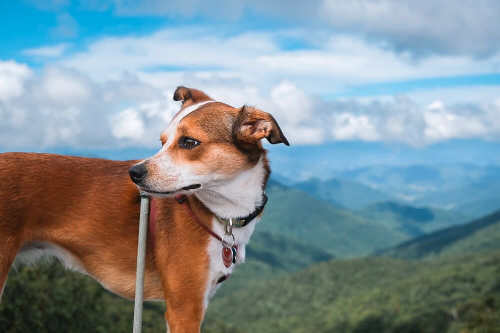
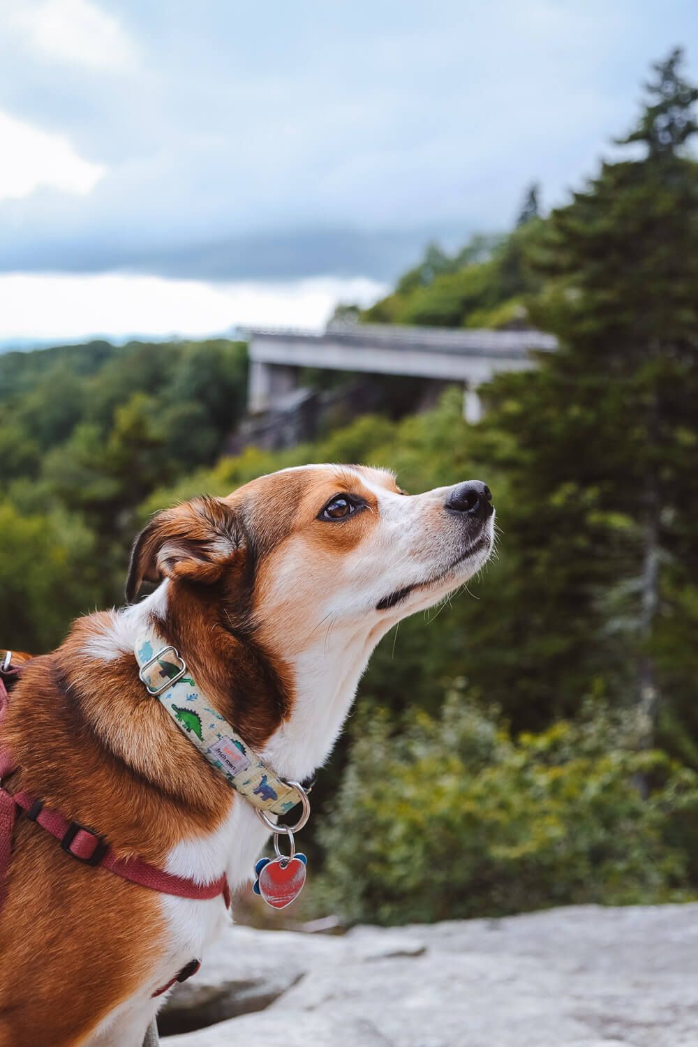
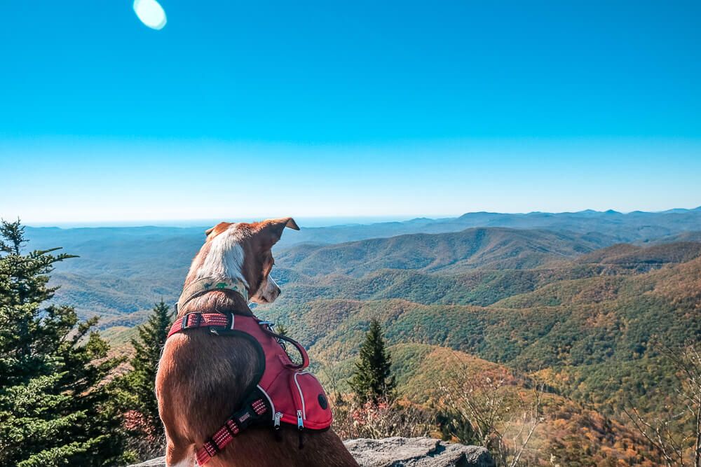
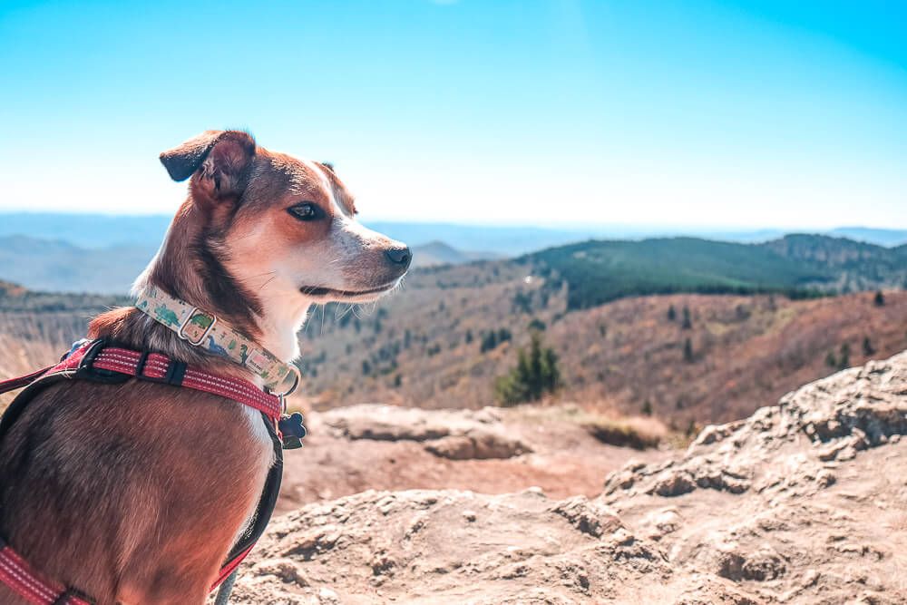
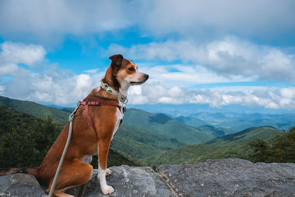
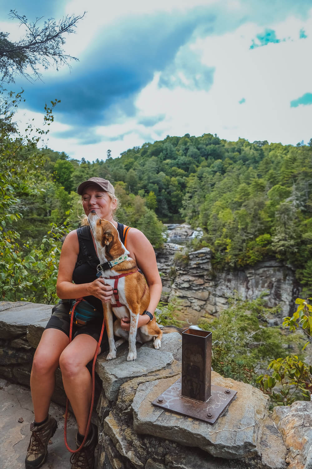
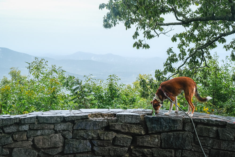
And of course if I’m going on a road trip, I’m of course bringing my dog Ellie with me. So this Blue Ridge Parkway road trip guide is dog friendly.
Now I live in Greenville, SC. So when I drive the Parkway, I’m coming from the South. Most guides will be oriented the other way (North -> South to match up with the mile markers), but this road trip is oriented South -> North.
I also have more experience with the southern half of the Parkway (and therefore have a lot more recommendations there) and I’m working on building out the northern half.
I’ve included several itinerary suggestions (and notes) throughout the post as if you were driving it all at once from south -> north. If you want to take your time (drive only ~3-4 hours a day or less), I’d suggest about 5 days.
But at the end of the post I have several additional itineraries if you have less time or want to break this up into chunks.
Table of Contents
- What is the Blue Ridge Parkway?
- Blue Ridge Parkway Road Trip
- Grandfather Mountain
- Linn Cove Viaduct Visitor Center & Yonahlosse Overlook
- Rough Ridge Overlook
- Julian Price Campground
- Raven Rocks Overlook
- Doughton Park
- Doughton Park Campground
- Fox Hunter’s Paradise Overlook
- Groundhog Mountain Overlook
- Chateau Morrisette Winery
- Rocky Knob Recreation Area
- Rocky Knob Campground
- Roanoke Mountain Road
- Peaks of Otter
- Thunder Ridge Overlook
- Otter Creek Campground
- Yankee Horse Ridge
- Ravens Roost Overlook
- Humpback Rocks Visitor Center
What is the Blue Ridge Parkway?
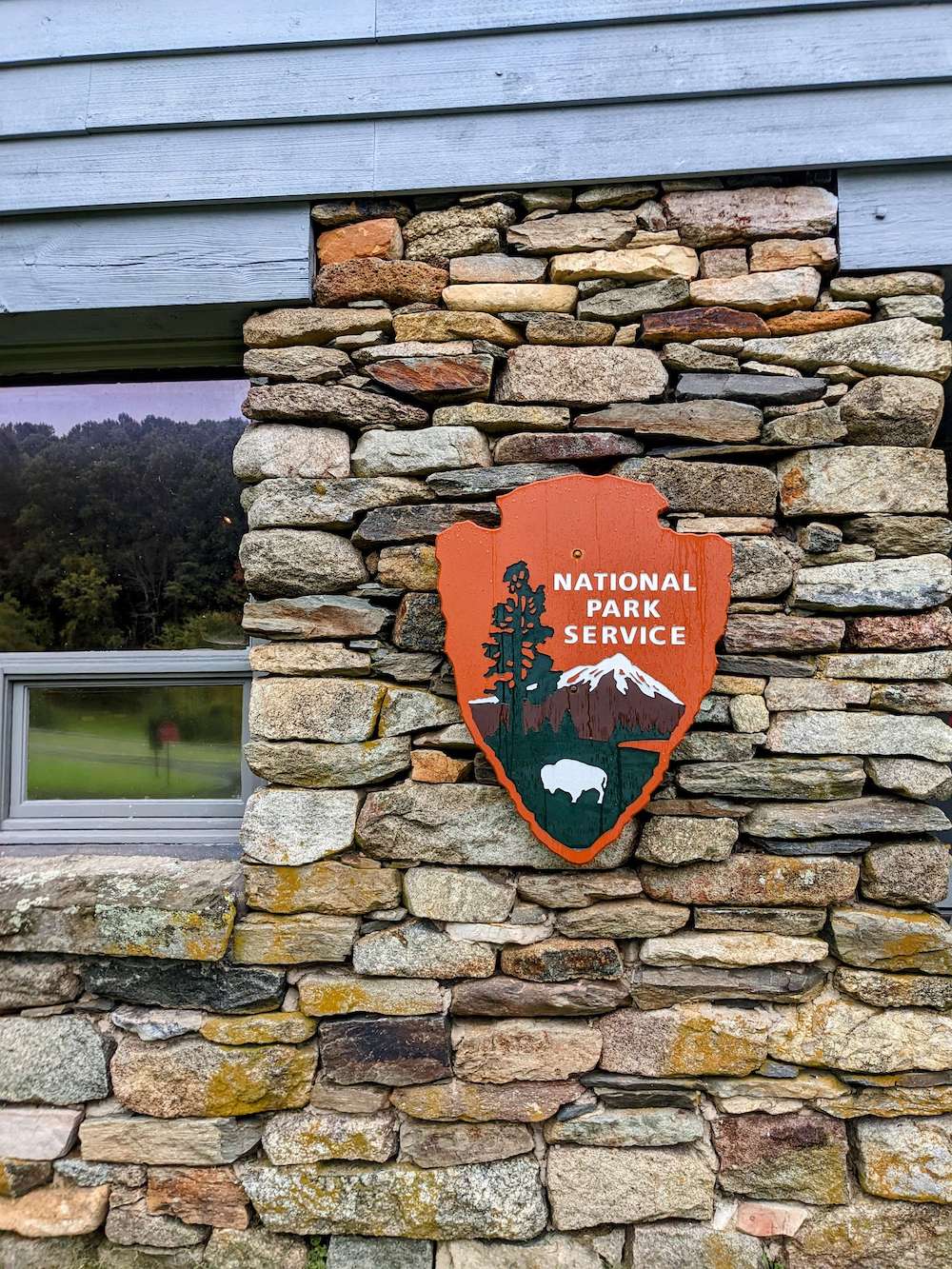
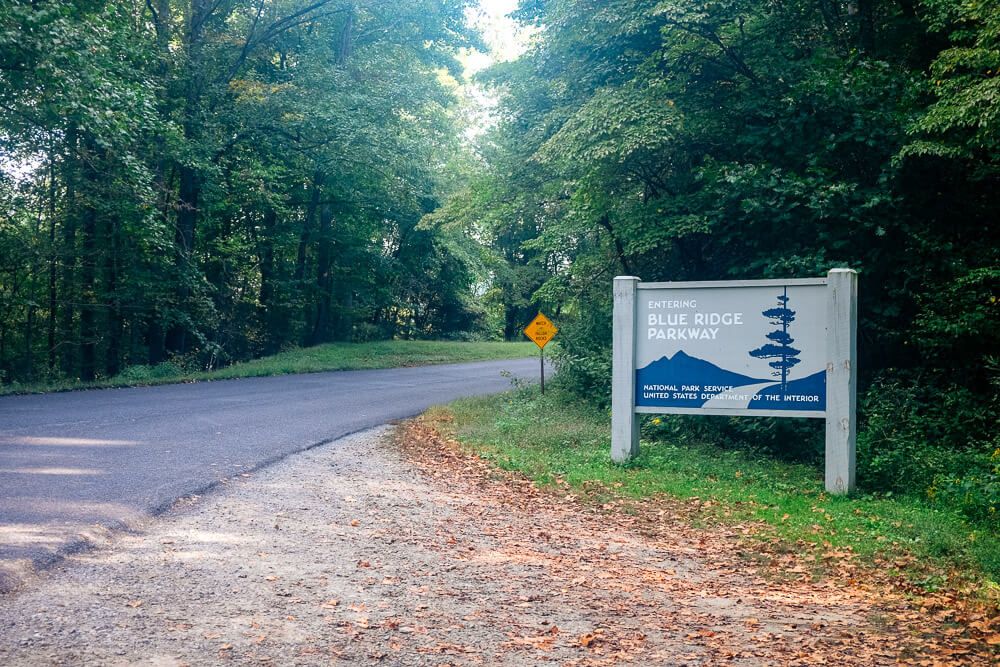
Simply the Blue Ridge Parkway, known as America’s Favorite Drive, is a 469 mile highway from Waynesboro, VA to Cherokee, NC. It winds its way through farmlands and mountains. And it connects two amazing National Parks: the Great Smoky Mountains National Park and Shenandoah National Park.
It’s managed by the National Park Service as a designated Parkway.
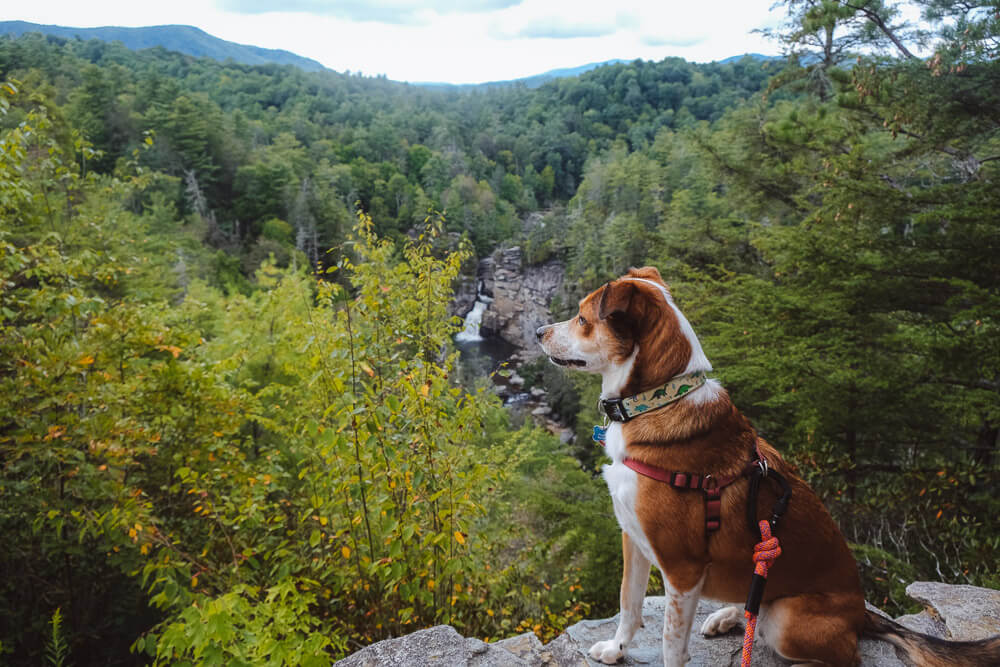
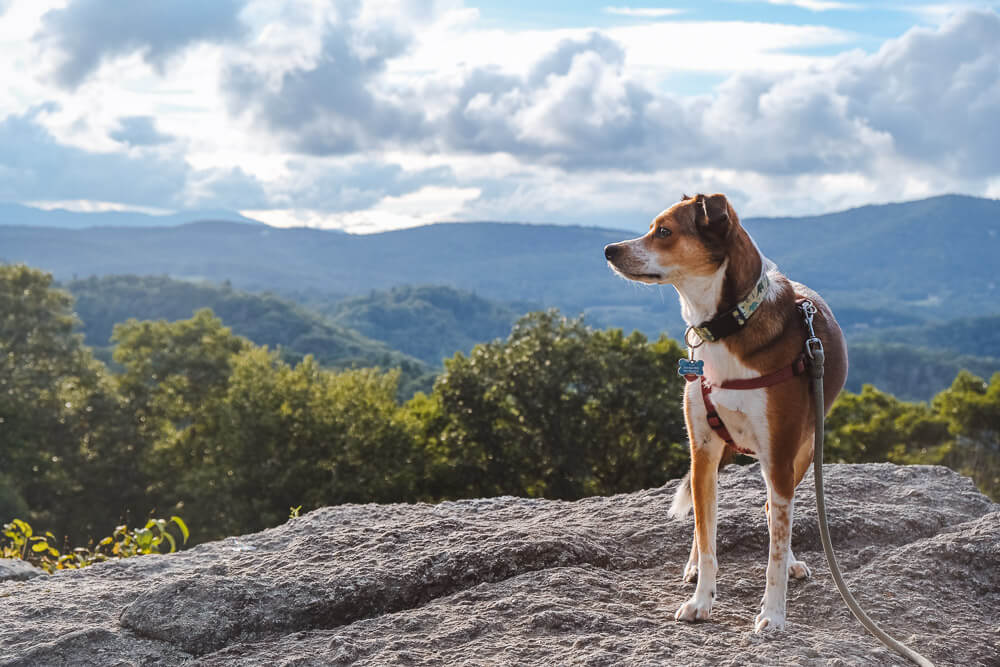
Now there are hundreds of overlooks, trails, waterfalls, and more. Much much more than I’ve included here. These are just my favorites. The ones I’ve marked as a must-stop when I drive the Parkway.
Best Things To Do in Shenandoah National Park With Your Dog
Milepost Markers
Milepost markers are simply concrete posts that mark each mile along the Parkway. They start at the northern entrance. When you are looking at overlooks, visitor centers, intersections, hiking trails, campgrounds, etc. they will each have a mile marker.
This is how you can find things on the Parkway. Keep an eye out for these concrete mileposts as you drive to find what you’re looking for.
Access Points
So the Blue Ridge Parkway is kind of self-contained. It is separated from most other roads except at specific access points (again it’s managed by the NPS so think of it like a park).
When planning your route, you’ll need to think about where you’re going to get on and off (and where you are going to get gas).
Find a list of all the major access points on the Auto Touring page on the NPS website.
Check for Closures
It’s a 469 mile highway. There is going to be construction and closures. When planning your trip, be sure to check the closures on the NPS website and plan accordingly.
Speed Limit
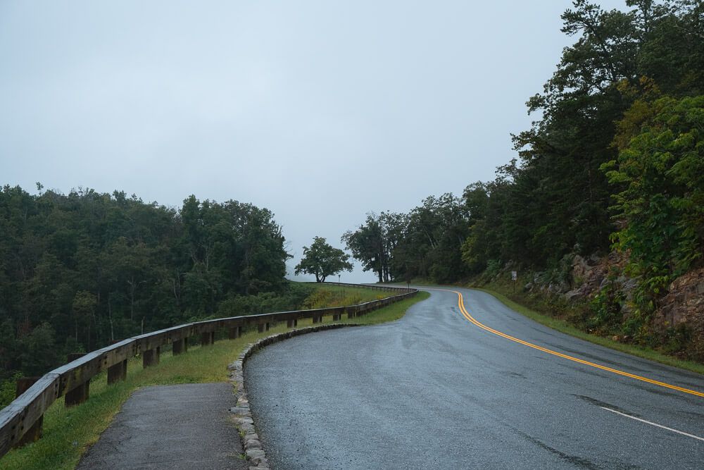
The parkway speed limit is mostly 45 mph. But in the more mountainous parts of the Parkway (like in North Carolina), expect to drive closer to 35mph or 25mph.
You’ll typically only be able to drive about 30 miles in an hour as an average in North Carolina. And an average of 40 miles an hour in Virginia.
There’s no median here and as someone who grew up in the mountains of West Virginia, I had to go much slower than expected (and below the speed limit) when driving through the southern half of the parkway.
Where to Stay on the Parkway
Also I usually stay at the campgrounds along the Parkway and only get off the parkway to get gas or supplies. There are loads of cool towns scattered along the way though if you want to take some detours. (Definitely check out Asheville, Blowing Rock, and Roanoke if you can.)
If you want to stay at one of the busier campgrounds on a weekend or during the fall, be sure to make your reservation in advance! Book through Recreation.gov.
Visit the Great Smoky Mountains National Park
Blue Ridge Parkway Road Trip
Waterrock Knob
MM: 451.2
This scenic area has a visitor center, gift shop, privy restrooms, picnic tables, amazing views, and plenty of parking. It’s got amazing vistas of the surrounding highlands on both sides of the parking lot as it’s on an exposed ridge perched above the Parkway.
Recommended Activity: Waterrock Knob Trail
This 1.2 mile trail will take you to the summit that looms above the parking area and has a wonderful viewpoint. Roughly 400′ of elevation gain.
Need something a little less strenuous? A smaller overlook sits just 1/4 mile up the trail.
Want something harder? After reaching the top of Waterrock Knob, continue another 1/3 mile to Browning Knob.
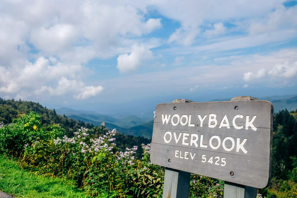
A Note on Scenic Overlooks
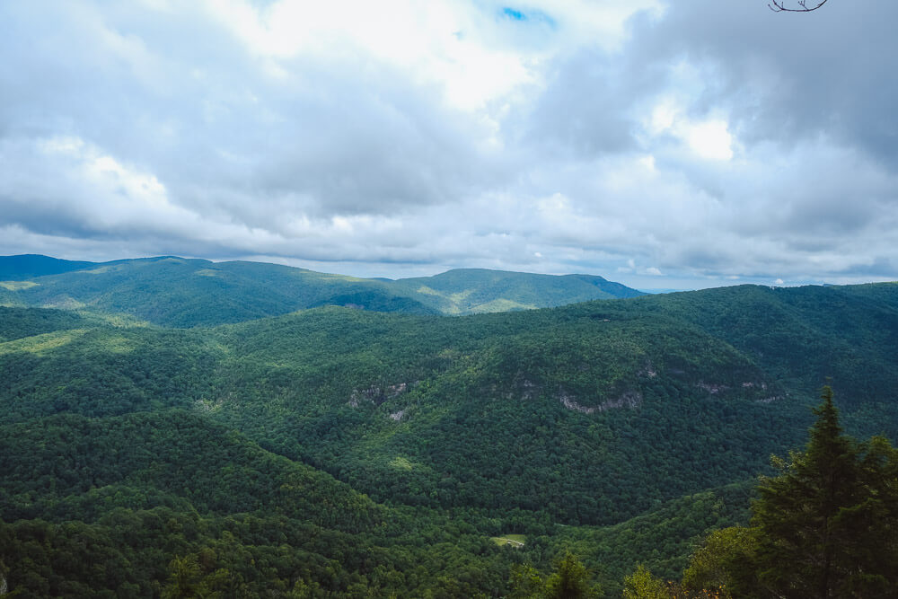
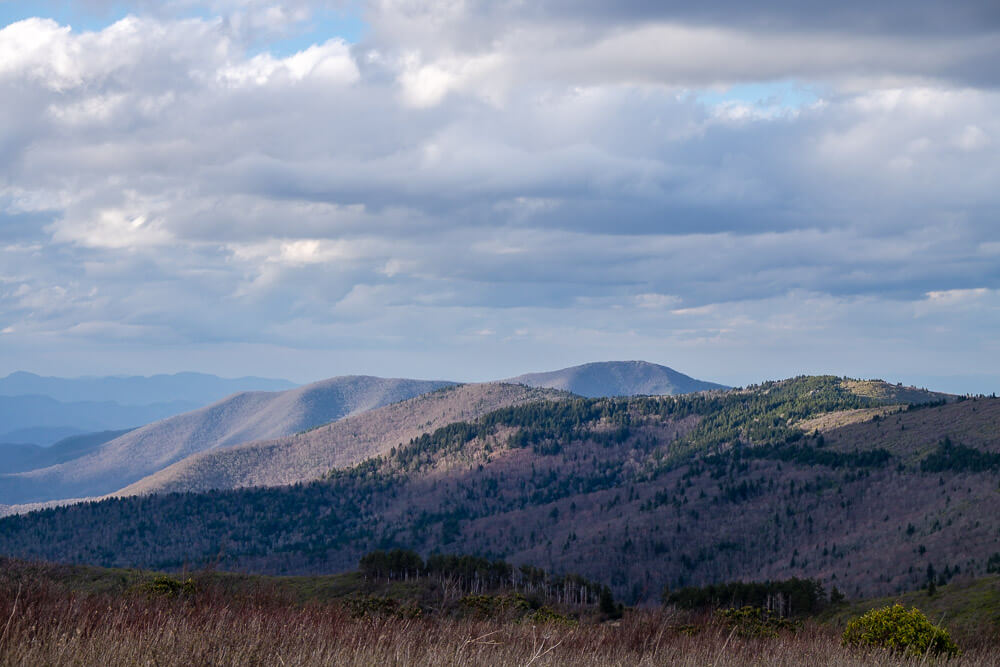
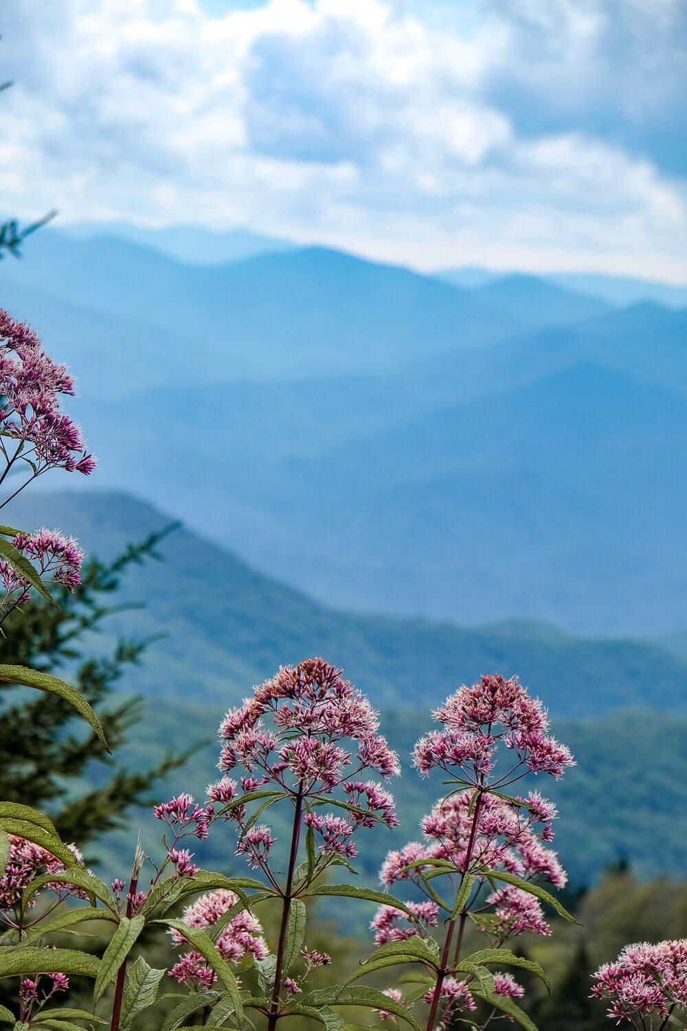
There are 382 overlooks scattered along the Parkway (according to the NPS). Please pull over at any that strike your fancy. Or if you just need a break (like walk the dog, have a picnic, etc.). Many are beautiful. And they deserve your attention. But this guide only indicates a couple because…there are just so many good ones.
Devil’s Courthouse
MM: 422.4
There are two main overlooks here. The first is from the parking lot (and it is pretty great). But there is a trail that will take you to the overlook perched above the rocky outcropping to your left.
If you come during peak times (weekends, especially in the fall), expect crowds. This prominent mountain and its famed views get loads of visitors. But they come for good reason! The fall colors here are outstanding.
However if you’re looking to avoid the crowds, I’d plan your visit for a weekday or for early morning.
Recommended Activity: Devil’s Courthouse Trail
This 1 mile route will take you to an amazing scenic overlook. You’ll start by following the sidewalk up towards the mountain (and towards the tunnel) before the trail will split away into the forest on your right. Expect a strenuous climb! Roughly 300′ of elevation gain but definitely worth it!
Devil’s Courthouse Trail Guide
Black Balsam Knob
MM: 421.2
Black Balsam Knob Road extends for about 1.3 miles and has a couple of hiking trails off it – including the one that leads to Black Balsam Knob.
You can follow the road to the end where you’ll find the parking area for the Sam Knob Trail (2.5 mile out-and-back).
This area is extremely popular during the weekends and in the fall. Plan accordingly!
Recommended Activity: Black Balsalm Knob Trail
This 1.5 mile out-and-back trail (also known as the Art Loeb Trail) will take you to the top of Black Balsalm Knob. There is a fair bit of scrambling to get to the top of the knob (and ~350ft of elevation gain). But the views on the exposed knob are beautiful!
Advanced hikers may want to head towards Tennent Mountain or even create a loop hike with the Ivestor Gap Trail.
Black Balsalm Knob Trail Guide
Be sure to read about the Shining Rock Wilderness. Black Balsalm Knob is a part of this protected wilderness area and everyone should follow the leave no trace principles.
Wilderness areas are managed to minimize the evidence of any human presence. Trails are not signed or blazed, and are minimally maintained. Seeing trails may be difficult or even impossible. The Black Balsalm Knob trail is fairly easy to hike and you should not have any problems following it.
However if you continue past the knob, you should have an accurate map, compass, and the ability to use both.
Graveyard Fields
MM: 418.8
Graveyard Fields is a very popular hiking area (and for good reason). You’ll be able to explore a wide valley, hike to two waterfalls, and be surrounded by the high peaks of the Blue Ridge Mountains.
The area got its name due to a combination of fire and winds (years apart) that together toppled the trees in this valley and left their stumps scattered through the meadow like tombstones.
The parking area is quite small (remember this place is popular) and there are bathrooms here.
Recommended Activity: Graveyard Fields Loop Trail + Upper Falls
This 3 mile trail starts right by the bathroom and will first take you down to the smaller Second Falls (aka Lower falls) within just the first quarter mile. Then the Graveyard Fields Loop trail continues west towards the intersection with the Upper Falls Trail (.9 miles to the 40ft waterfall).
To make the hike shorter, you can simply hike the Graveyard Fields Loop Trail (1.2 miles) and see the Second Falls (skipping the additional 1.8 miles to Upper Falls).
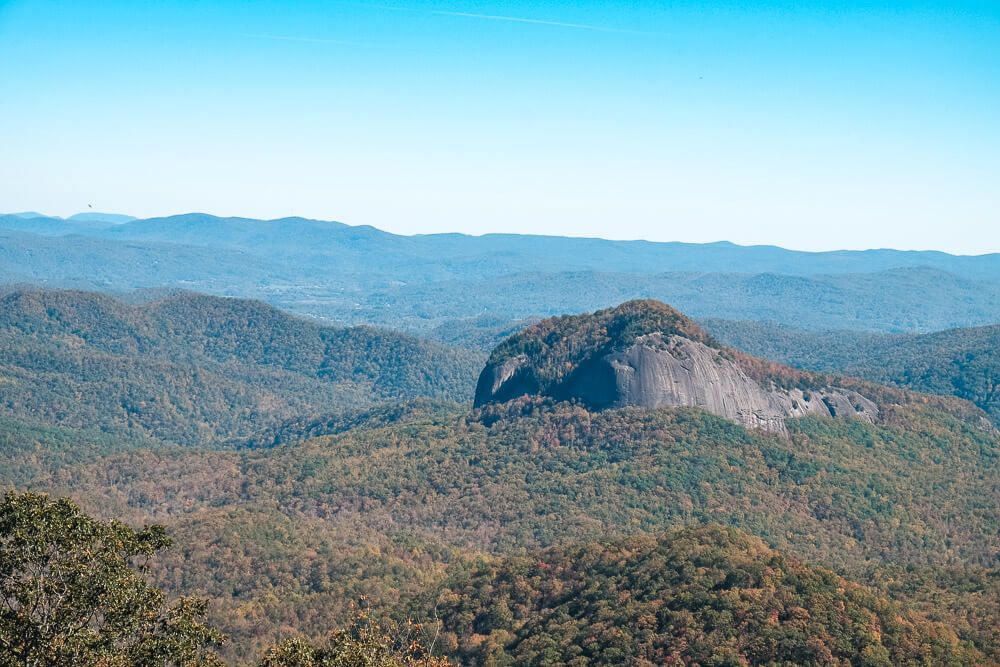
Looking Glass Rock Overlook
MM: 417
This is one of my favorite overlooks. And, if the name doesn’t give it away, it’s viewpoint is dominated by Looking Glass Rock. As someone who once hiked the very strenuous trail up to the top of Looking Glass, I love taking the time to see just what I’ve conquered.
Looking Glass Rock Trail Guide
Fryingpan Mountain Lookout Tower
MM 409.1
There’s no overlook at this stop (in fact the parking lot is on the mountain side), but there is an old forest road turned trail that will take you up to an impressive view. If you aren’t afraid of heights that is.
Recommended Activity: Fryingpan Mountain Lookout Tower Trail
This 1.5 mile hike with take you up an old forest road (350 elevation gain) to an old fire tower. And though you cannot enter the observation deck/platform at the top, you can climb the stairs on the tower. This is not for those afraid of heights. The tower is 70ft tall and you’ll be on metal stairs five stories up.
A similar view can be had from the summit of Mt. Pisgah but it’s a much harder hike (~3 miles and 700ft elevation gain and you share the summit with a radio tower).
Mount Pisgah Campground
MM: 408.8
Mount Pisgah is so named for the mountain you can summit. But there’s also a beautiful inn and restaurant here too. It’s a huge destination on the Parkway. The lodge though is not dog friendly and there isn’t even any outdoor seating via the restaurant.
You can buy some food at the grab-and-go attached to the restaurant. And I believe the balcony behind the restaurant is accessible by even those not eating there. (And it has some great views.)
BUT right across the road from the inn is the Mount Pisgah Campground.
There are 126 sites (roughly split between tent & RV ones). It’s built around four loops, has a country store, drinking water, and showers. Showers are rare at Blue Ridge Parkway campgrounds, but Mt Pisgah has a couple.
53 sites are available for advanced reservation through Recreation.gov, but 71 campsites are available on a first-come, first-serve basis. These are booked in person at the campground. If it’s the weekend, expect Mt. Pisgah to be full.
Itinerary Suggestion
If you got on the Parkway at the southern entrance and you’ve done a couple hikes, this may be the best stopping point (if you want to camp). You will have roughly driven for 2 hours so far (remember expect ~30-35mph here in the NC mountains). And remember to factor in some time for those scenic overlooks not mentioned in this guide.
If you don’t want to camp, you do have a couple of other options! Asheville is coming up in ~40 minutes. There are four main access points in Asheville and I’ve listed a hotel option near each one.
Asheville Access Points & Hotels
MM 393.6: NC 191 Access Point
– Hilton Garden Inn Asheville South – Pet Fee: $75 (up to 4 nights)
– Holiday Inn Express & Suites Asheville SW – Pet Fee: $30 per dog per night (up to 35lbs)
MM 388.8: US 25 Access Point
– Hampton Inn & Suites Asheville Biltmore Village – Pet Fee: $75
MM 384.7: US 74A Access Point (right near the Visitor Center)
MM 382.5: US 70 Access Point
These two entrances are very close together.
– Holiday Inn Asheville East-Blue Ridge PKWY – Pet Fee: $50 per night (up to $150)
Downtown Asheville
If you’ve never been to Asheville, and you have the time, definitely consider exploring the city for a day. It’s a delight for craft beer enthusiasts.
The hotels above are located near the access points (which are outside of downtown). If you want to stay downtown (which will be expensive), there are several dog friendly options. But the Aloft Downtown Asheville is a standout option since it doesn’t have a pet fee.
Blue Ridge Parkway Visitor Center
MM: 384
This is the main visitor center for the Blue Ridge Parkway. (The headquarters are right next door.) It’s got some cool information inside (like a map and lots of staff to help you plan). Plus a gift shop and bathrooms.
Not a must stop, but I like to stop (if just to use the bathrooms).
Craggy Gardens
MM: 364.5
This stop has several things to offer. First it has simply a great view from the parking area. When I’ve been on a tight schedule (aka cramming too much into my days), I’ve simply stopped here for a quick moment to enjoy the view.
If you have more time, luckily there’s two popular hiking trails (one flat and short, another slightly longer but steep). Details on those below.
And there’s a very small visitor center and bathrooms.
Recommended Activity: Craggy Pinnacle Trail
Located just on the other side of the tunnel (MM 364.2) is the parking area for this trail. This ~1.3 mile trail leads to the top of Craggy Pinnacle. You’ll have amazing views in all directions at the top.
Want a shorter option? From the visitor center, pick up the trail at the southern end of the parking area. Follow it to a small bald/meadow (at the shelter take a left). This will be a little over 1/2 mile roundtrip.
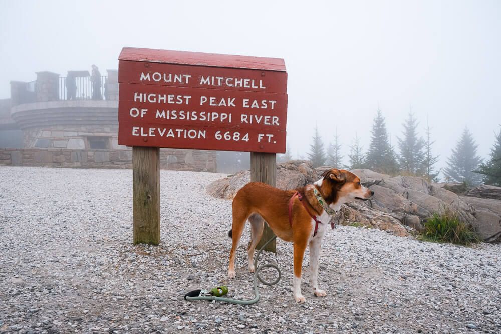
Mount Mitchell State Park
MM: 355.4
Mount Mitchell is the tallest mountain east of the Mississippi River. And it’ll feel like it. It’s a bit of a drive off the Parkway to the top of the mountain (5 miles) so be sure to factor in about 20 extra minutes for just driving.
There are a handful of trails here and tent camping. But the main attraction is the observation deck at the summit.
The parking area near the summit has a gift shop, concessions, bathrooms, and a museum. Halfway along the road to the summit is a restaurant (though it’s been closed so I don’t have the details).
Recommended Activity: Summit Observation Deck
From the parking area at the top, follow the paved path to the observation deck at the summit. Don’t worry, it’s short (if a little steep). However it probably will be cooler than the other stops you’ve made so far! Maybe bring a jacket or sweatshirt!
(And hopefully you’ll have better weather than I did. Pro tip…if it’s foggy/rainy at the parking area, probably going to be foggy/rainy at the observation deck.)
On a clear day you’ll have some pretty amazing views.
Crabtree Falls Campground
MM: 339.5
There are 81 sites (only 18 RV), and it’s built around 2 loops. This campground is more basic (toilets and drinking water).
27 sites are available for advanced reservation through Recreation.gov, but 54 are available on a first-come, first-serve basis.
This campground is less busy than Mt. Pisgah, but it also has a big draw: Crabtree Falls.
Recommended Activity: Crabtree Falls Trail
The hike to Crabtree Falls is popular. There’s a separate parking area for people who are just hiking (and not camping), so you can hike this trail even if you aren’t staying at the campground.
If you are camping, you have the benefit of doing this hike early or late to hopefully avoid crowds. And you can maybe even snag a site close to the trail (there’s an access point in the campground).
Now this is a tough hike. You’ll hike down about a mile (and descend 600ft) to this beautiful 70ft waterfall. It is impressive. But then you’ll have to hike back up. You can make this an out-and-back (2 miles) or stay on the trail to finish up the loop (little over 2.5 miles).
Coming up is another impressive waterfall (Linville Falls). Unless you have a ton of time, I’d suggest hiking to either Crabtree or Linville.
Chestoa View
MM: 320.7
I’m only including a select number of scenic overlooks in this guide (there are just so many great ones you guys). But this one I’m adding since it doesn’t seem like it has a great view. But oh-ho it does.
Head towards the back of the parking lot and look for the steps leading down.
Linville Falls
MM: 316
This is a major destination on the Blue Ridge Parkway. The Linville Gorge is a beautiful wilderness area – think untouched mountains and forest.
The mountains surround the Linville River, which is located over a thousand feet below the ridge of the mountains creating a beautiful canyon (aka the gorge). In fact it is nicknamed the Grand Canyon of North Carolina.
And coming to Linville Falls will help you see just a smidge of what this area has to offer.
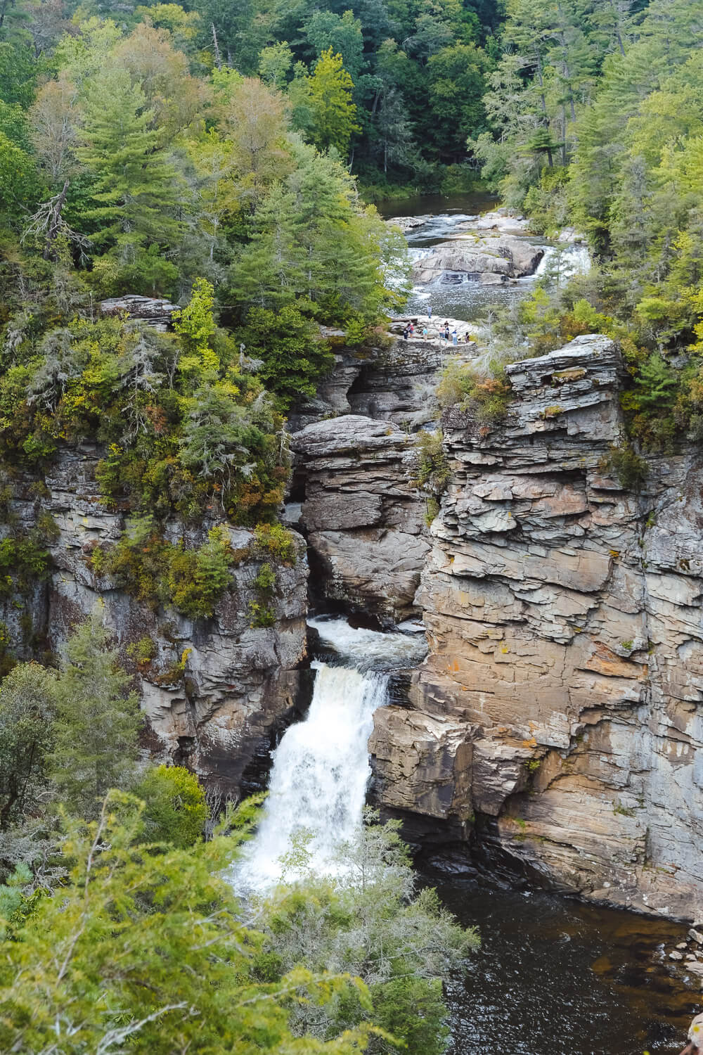
Recommended Activity: Hike to Linville Falls
You have two main trails when it comes to viewing Linville Falls.
- The Linville Falls or Erwin’s View Trail will take you to 4 overlooks (3 offering views of the waterfall itself). This one is less strenuous (2.3 miles, 400ft elevation gain). It’s also very well maintained (and is probably the more popular trail).
- The Linville Gorge Trail will take you closer to the bottom of the lower falls. This trail is steeper (550ft of elevation gain) but slightly shorter. The trail is much rockier though.
Linville Falls Campground
There are 64 sites (only 19 RV), and it’s built around one main loop. This campground is more basic as it’s the smallest on the parkway
39 sites are available for advanced reservation through Recreation.gov, but 25 are available on a first-come, first-serve basis.
This campground is fairly busy thanks to its easy access to Linville Falls and the rest of the Linville Gorge. Expect weekends to be busy.
Itinerary Suggestion
If you camped at Mount Pisgah or stayed in Asheville, Linville Falls Campground (MM 316) is a great stopping point.
You will have roughly driven for 3-3.5 hours from Mt. Pisgah and if you’ve hiked at Craggy Gardens, visited Mt. Mitchell, stopped at a few viewpoints, and hiked Linville Falls, you’ve had a busy day.
An alternative would be to push onto Julian Price Campground (MM 297) – it’s only about 19 miles away.
If you don’t want to camp, I’d suggest staying in Blowing Rock, NC. There are several hotels in the area that are pet friendly. Below are a few local options!
The Village Inns of Blowing Rock have three hotels that are pet friendly: Village Inn, Hillwinds Inn, & the Boxwood Lodge. Pet Fee: $25 per night (up to $75) per pet. 2 pet maximum.
Chetola Resort & Green Park Inn also have pet friendly rooms but I struggled to find the policy. I would call for details and to make your reservation to ensure you get a pet friendly room.
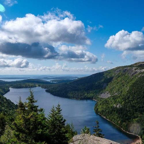
Grandfather Mountain
At MM 305.2 is an access point to US 221. The Grandfather Mountain Attraction is located on US 221 just slightly south/west of this access point. While it does have an admission cost, there are great views to be had from its Mile High Swinging Bridge and from the trails.
The trails are actually a part of Grandfather Mountain State Park, but many are more easily accessible via the attraction than the other trailheads (simply due to the length and elevation).
Dogs are allowed on the swinging bridge but most of the standout trails (even shorter ones like the Black Rock trail & a loop via the Underwood trail) have ladders as part of the trail.
I haven’t visited so I don’t know how inaccessible they are and the park doesn’t recommend dogs on some of these trails where there are a lot of cables, ladders, and sheer drop offs.
If you go, I would ask the staff which hikes they would recommend with your dog!
This is a major destination right off the Blue Ridge Parkway.
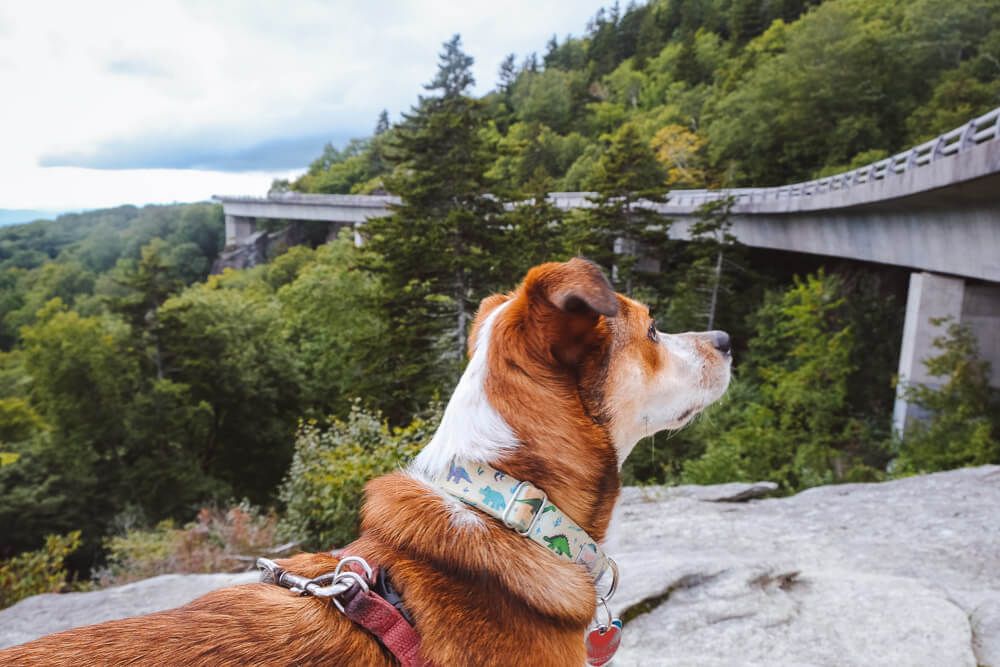
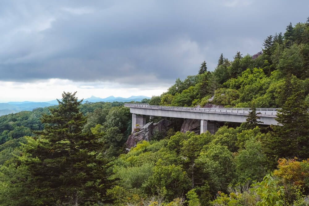
Linn Cove Viaduct Visitor Center & Yonahlosse Overlook
MM: 304.4 & MM: 303.9
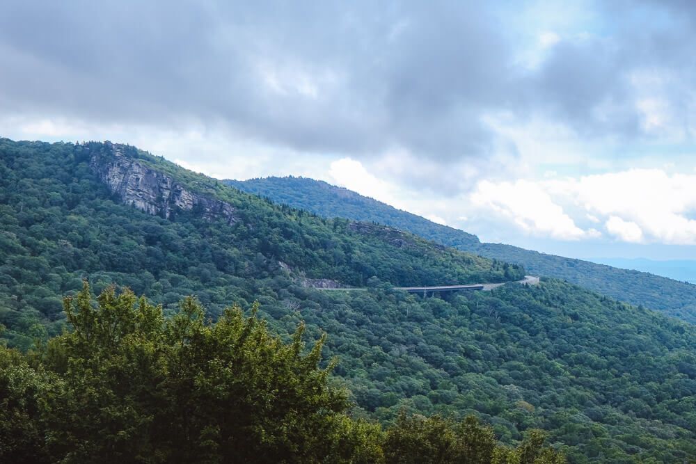
The Linn Cove Viaduct is the most famous bridge on the Blue Ridge Parkway. And for good reason. This S-curved bridge winds its way around the base of Grandfather Mountain while being as minimally invasive as possible. (The history is quite fascinating if you’re interested!)
Recommended Activity: View the Linn Cove Viaduct
There are two ways to view the bridge.
- On the south side of the bridge there’s the Linn Cove Viaduct Visitor Center (MM: 304.4). From the parking lot, head north on the Tanawha Trail. In about a half mile you’ll cross first under the bridge and then be perched just above it on the mountain side.
- On the north side of the bridge, the Yonahlossee Overlook (MM 303.9) doesn’t look like much at first. But take the small footpath on the other side of the guardrail and follow the road back to the bridge. The large rock at the end of the trail provides an amazing view of this engineering marvel.
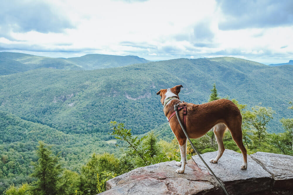
Rough Ridge Overlook
MM: 302.8
From the overlook parking (on the mountain side) you can take the Tanawha Trail west (left) to an open rocky area. Follow the switchbacks to the top. It’s a tough climb (~400ft elevation gain).
Go up as far as you like (once the trail starts to descend down into the forest turn around). About 1.2 miles roundtrip.
There is a nice overlook 1/3 mile up if you want something shorter and less strenuous.
Julian Price Campground
MM: 297
This is the Blue Ridge Parkway’s largest campground and there’s lots to do here if you want to spend some time. The campground is right next to Price Lake so there’s canoeing and fishing. Plus some waterfalls to visit in the area as well as the nearby town of Blowing Rock (and its namesake overlook).
There are 190 sites (only 73 RV), and it’s built around four loops. This campground is the largest and has some amenities here not found at most others (like showers!).
75 sites are available for advanced reservation through Recreation.gov, but 115 are available on a first-come, first-serve basis.
Raven Rocks Overlook
MM: 289
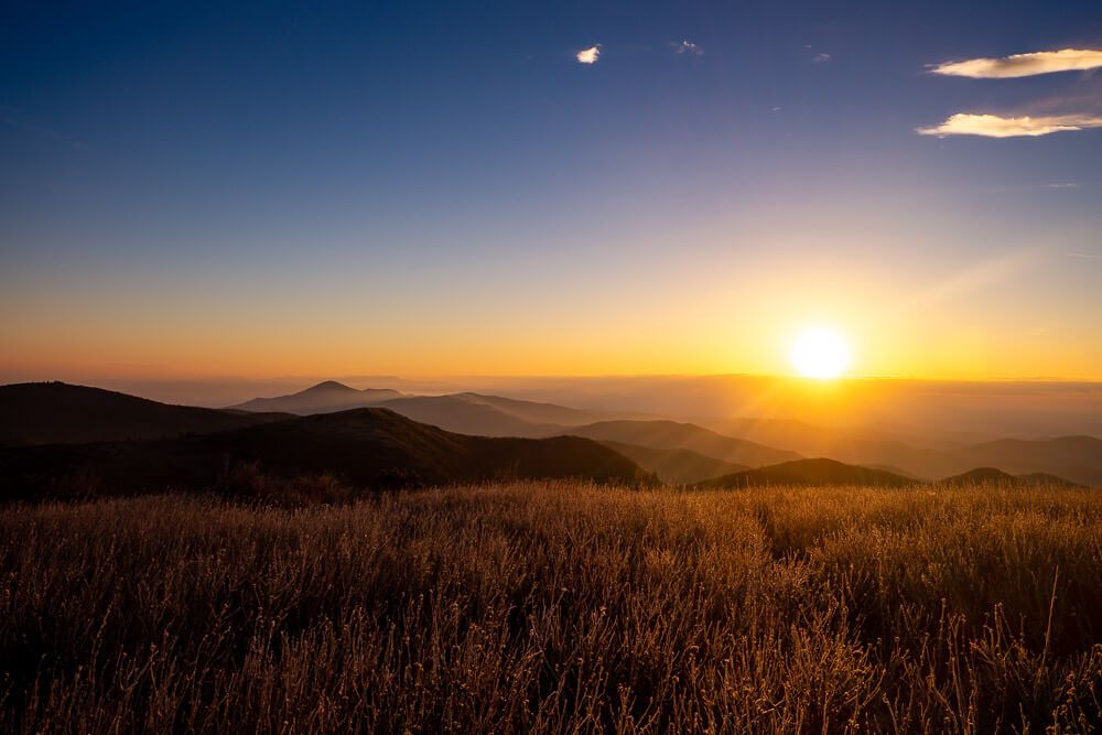
I was able to catch sunset here on one of my journeys on the Blue Ridge Parkway and it was spectacular. Make your way over the fence and find a spot on the rocks for a gorgeous view.
Doughton Park
MM: 241.1
Doughton Park is big (7,000 acres in fact). There’s a visitor center, restroom, gift shop, and staff to help you plan your trip.
Recommended Activity: Wildcat Rocks Overlook
For a great view, head to Wildcat Rocks. A small road across from the visitor center leads to the parking area. Head up the stairs on the left to the viewing platform.
A lot of the trails in this area are over 2.5 miles and I haven’t had to the chance to hike them. If you have time and want to do some hiking, I’d suggest asking the staff at the visitor center for a recommendation!
Doughton Park Campground
MM: 239.2
Located on the larger Doughton Park, this is a large campground near lots of meadows with lots of hiking in the area.
There are 121 sites (only 24 RV), and it’s built around four loops. 24 sites are available for advanced reservation through Recreation.gov, but 97 are available on a first-come, first-serve basis.
I visited on a Friday night in September and the campground felt empty.
Itinerary Suggestion
If you camped at the Linville Falls Campground (MM 316), you may want to consider stopping for the night at Doughton Park Campground (MM 239).
You will have roughly driven for ~2 hours from Linville and if you hiked the Linville Falls trail that morning and/or took your time, you may be ready to stop.
You can push on to the next campground, Rocky Knob Campground (MM 167), but it will be another 1.5-2 hours of driving.
If you don’t want to camp, I’d suggest the Red Roof Inn in Hillsville – pets stay free!! You’ll get off at US 52 (MM 199.4) and then it’s a short drive into town.
Fox Hunter’s Paradise Overlook
MM: 218.6
Again this scenic overlook may look just like all the others. But trust me, it’s not. First head to the back of the parking lot and head up the small drive to another set of parking spots. Look for a trail heading back into the woods. Follow it and you’ll soon arrive at a great overlook. (Even in the rain.)
Itinerary Note
I’ve only explored the first 230ish miles of the Blue Ridge Parkway once. And I made a large mistake. First I did it all in one day (camped at Doughton Park and then drove to Shenandoah National Park). That took almost 6 hours of driving. Don’t do that.
Second is that it rained all day. All the hikes and stops I planned went out the window. And the overlooks were foggy. Plus Ellie is not a dog that likes to hike in the rain (and I didn’t want to get soaking wet).
So instead here is what we planned to do (or what we would do). I hope to redo this section again soon and update this article!
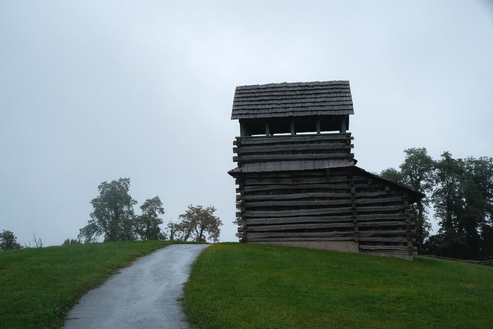
Groundhog Mountain Overlook
MM: 189
I had heard the observation tower (resembling a log cabin) had one of the best views. Sadly for me it was super foggy (and rainy). Why not give it a try?
Chateau Morrisette Winery
MM: 171.5
This stop is located just right off the Parkway, but I love a place that loves dogs. And this winery loves dogs. It’s known as “the winery the dogs built.”
Dogs are welcome in the tasting room, on the grounds, and at their festivals. There is also a restaurant, but I am unsure if it has outdoor seating. Regardless, I love a good glass of wine.
If it’s early in the morning, maybe do a hike at Rocky Knob and come back?
Rocky Knob Recreation Area
MM 169
Again I had heard this area had meadows, craggy peaks, and a deep gorge (Rock Castle Gorge). For me the visitor center was closed and I had traverse down a small one lane road to find the restroom facility. Plus it was so foggy, I could barely see.
Recommended Activity: Hike to the Summit of Rocky Knob
You have a couple of options to summit Rocky Knob:
From the Rock Castle Gorge Overlook (MM 168.8) you should be able to head north on the Rock Castle Gorge Trail towards Rocky Knob. Then at the summit, simply head back the way you came (1.7 miles roundtrip). The map shows starting at the overlook south of the visitor center, but I think you should be able to start at the Rock Castle Gorge Overlook.
From Saddle Overlook (MM 168) take the Rock Castle Gorge Trail south (to the right) up to the top of Rocky Knob. You can then head straight back (.6 miles roundtrip) or make this a small loop (see the map) by heading down the other side and then taking the first right back towards the parking lot.
A longer option that doesn’t take you up Rocky Knob would be to hike the Black Ridge Trail (3 mile loop) that starts at the visitor center.
Rocky Knob Campground
MM: 167.5
Located on the larger Rocky Knob Recreation Area, this is one of the less busy campgrounds. Surrounded by meadows and peaks, you have lots to do at your finger tips (like the hikes above as well as many wineries located just off the Parkway). Plus I’ve heard that it has pretty good stargazing as well.
There are 106 sites (only 27 RV), and it’s built around two loops. 44 sites are available for advanced reservation through Recreation.gov, but 62 are available on a first-come, first-serve basis.
There seems to be two campgrounds labeled on Google Maps, which is a mistake. So be sure to be on the lookout for signs. I believe the one near the visitor center is actually the picnic area.
If you don’t want to camp, I’d suggest driving another hour until you reach Roanoke, VA. You’ll get off at US 220 (MM 121.4) and then it’s a short drive into town.
Downtown Option: Hampton Inn & Suites Roanoke-Downtown (Pet Fee: $75)
Close to the Parkway: Quality Inn Tanglewood (Pet Fee: $15/night; max 2 dogs)
Roanoke Mountain Road
MM: 120.3
This one lane mountain road (3.7 miles) will be on the right side of the road (if you’re heading south->north). This small, windy road will take you to two hidden away overlooks: Mill Mountain & Roanoke Mountain.
I didn’t get a chance to drive this road as this section of the Parkway was closed when I came through. Hoping to go back and either provide pictures or remove this section.
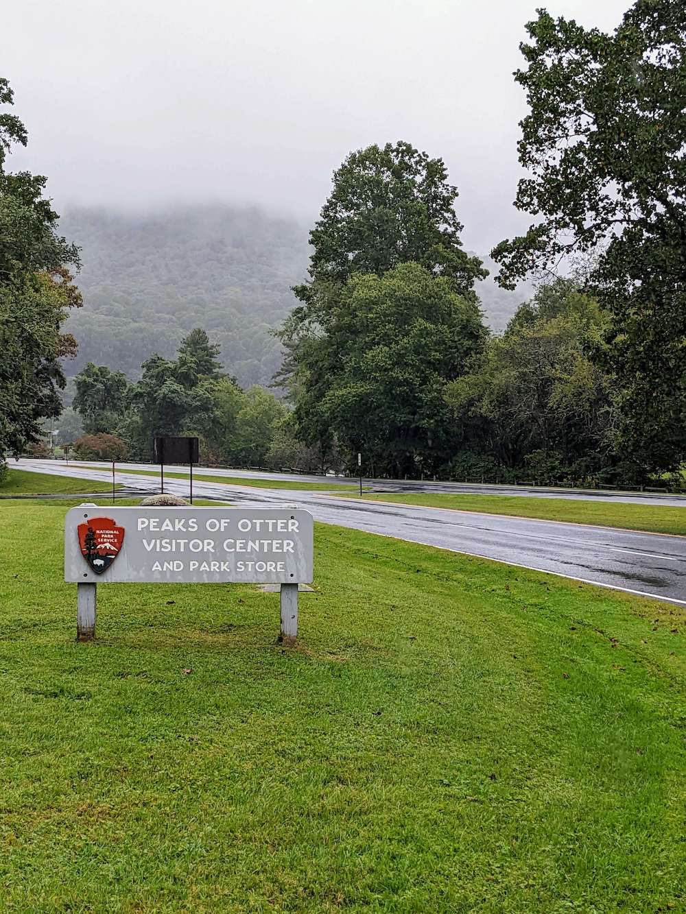
Peaks of Otter
MM 85.6
Peaks of Otter is one of the major destinations on the Parkway. First because it’s insanely picturesque (or so I’ve heard – it was pouring rain when I arrived). But I can imagine Sharp Top towering over Abbott Lake surrounded by the other hills in the area.
And second because there are some amazing hikes in this area as well as the Peaks of Otter Lodge (and restaurant) and campground (more on those below).
There’s also a visitor center, gift shop, and restrooms.
Recommended Activity: Go Hiking
There are plenty of trails in the area, but below are the two options I was looking at.
If you want something easier, the Abbott Lake Loop Trail and the Johnson Farm Loop Trail are great options. You can always talk to the staff at the visitor center for recommendations.
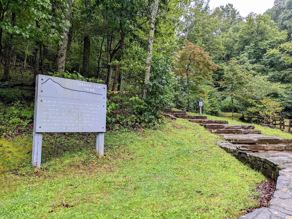
Sharp Top Trail. This is the most popular trail in the park. It’s 3 miles roundtrip and the NPS suggests a minimum of 3 hours to hike it. You can (seasonally) catch a shuttle from the visitor center that will drop you off a 1/4 mile from the summit. I’m unsure though if the shuttle is dog friendly. If you hike it, you’re looking at over 1,200 ft of elevation gain.
Harkening Hill Trail. This was the hike I was going to do. Now this is still a long hike (3.3 mile loop) but it promised a beautiful overlook at the top (and an additional view via a spur path to Balance Rock near the summit). To hike this trail, go left on the Harkening Hill Trail behind the visitor center. When you reach Johnson Farm Trail, make a right to head back towards the visitor center.
Peaks of Otter Lodge
This is one of only two lodges on the Blue Ridge Parkway, and is the only one that has dog friendly rooms. Yep, you heard that right. The Peaks of Otter Lodge has DOG FRIENDLY ROOMS!
If they have availability (and they are usually booked up on the weekends and in October), definitely consider staying here if you can. Plus there’s a nice restaurant on site.
Peaks of Otter Campground
If you don’t want to stay at the lodge, then there is a campground at the Peaks of Otter. (Across from the Visitor Center.) And surprisingly it is one of the less busy campgrounds.
There are 139 sites (only 51 RV), and it’s built around three loops. 60 sites are available for advanced reservation through Recreation.gov, but 79 are available on a first-come, first-serve basis.
Itinerary Suggestion
If you camped at Doughton Park Campground (MM 239), I’d suggest stopping at the Peaks of Otter.
You will have roughly driven for 3.5 hours. And I’d definitely suggest doing a hike at Peaks of Otter and relaxing here.
If you don’t want to camp, I’d suggest staying at the Peaks of Otter Lodge! It’s dog friendly as long as you book one of their pet friendly rooms!
Thunder Ridge Overlook
MM: 74
This overlook doesn’t look like much, but take the short path through the woods and you will apparently arrive at one of the best scenic overlooks on the Parkway. It was pouring rain when I got there so I am unsure.
Otter Creek Campground
MM: 60.8
Otter Creek is the northernmost Blue Ridge Parkway Campground and is the lowest point on the Parkway (at James River). It’s also one of the smaller campgrounds.
If you’re driving the Parkway north->south and are starting late in the day, this may be a great place to stop for the night.
There are 68 sites (only 23 RV), and it’s built around two loops. 39 sites are available for advanced reservation through Recreation.gov, but 29 are available on a first-come, first-serve basis.
Recommended Activity: Go for a Small Hike
The James River / Otter Creek Recreation Area features not only the campground but a small visitor center and a number of short hikes. This makes it a great short stop for anyone driving the Parkway.
Trail of Trees (.4 miles) starts at the James River Visitor Center (MM 63.7). The trail has information signs about the flora in the area and has a good view of the James River water gap. Look for signs at the Center for where this trail starts.
Canal Lock Trail (.4 miles) also starts at the James River Visitor Center (MM 63.7) and crosses the James River via a walkway beneath the bridge. You’ll also get a chance to see and learn about the Battery Creek Lock & Canal from the 1800s. Look for signs at the Center for where this trail starts.
Otter Lake Loop Trail (.9 miles) will take you around Otter Lake. Park at the Otter Lake Overlook (MM 63.1) and then head west to see a beautiful stone dam. You’ll be able to loop around the entire lake. If you are here early morning or late evening, you may have a chance to spot some wildlife.
Yankee Horse Ridge
MM: 34.4
This parking area may not look like much but it does hide a small intriguing feature.
Recommended Activity: See the Irish Creek Railway
Head up the stairs from the parking area to see a reconstructed Irish Creek Railway. This small railroad was how loggers accessed the mountains when this area was deforested. It’s only about 200ft long, but it’s a nice little walk.
Ravens Roost Overlook
MM: 10.7
A great final overlook to stop at. You’ll be treated to views of the Shenandoah Valley and surrounding landscape.
Humpback Rocks Visitor Center
MM: 5.8
This is the last visitor center you’ll encounter (heading south->north). And if you want to grab any last gift or souvenir this is a great stop.
If you’re just starting your road trip, it has an information desk where you can ask questions and get advice.
Sample Itineraries
Okay first a final note on driving times. The Parkway’s speed limit is 45mph. However due to all the turns and the smallness of the road, expect an average of 40mph (and make that 30mph in North Carolina).
These are small roads. Trust me here. I once drive 240 miles on the Parkway in a single day (and another 25 miles into Shenandoah National Park).
Do you know what I was able to do that day? Stop at a handful of scenic overlooks and that was it. I woke up from a campsite in Doughton, left before 9am, and didn’t get into my campsite in Shenandoah until like 7pm.
I did zero hiking. Maybe it was a good thing it was raining because if I had spent an hour or two hiking, I wouldn’t have gotten to my next campsite until like 9pm.
So…I do have a 3 day trip listed below…but be prepared for a lot of driving and not a lot of stopping.
Full Parkway Road Trips
When driving the full Blue Ridge Parkway, you will need to factor in additional time at the start and end to return home. My itineraries here are for full days on the Parkway. So adjust as needed.
In the itineraries below, I also have campgrounds listed. If you want to stay in a hotel, I have a few places in the article above mentioned (Asheville, Blowing Rock, Roanoke, etc.).
A Note on Scenic Overlooks
There are 382 overlooks scattered along the Parkway (according to the NPS). I’ve only listed a couple here (and in the article above), but please pull over at any that strike your fancy.
5 Days
Day 1
61 miles
~2.5 hours of driving
- Get on the Parkway in the morning at the southern entrance near Great Smoky Mountains National Park.
- Waterrock Knob (MM 451.2): Hike the Waterrock Knob Summit.
- Devil’s Courthouse (MM 422.4): Hike the Devil’s Courthouse Trail to the top overlook.
- Graveyard Fields (MM 418.8): Hike the Graveyard Fields Loop Trail. If you feel up to it, and it’s still early, hike out to Upper Falls.
- Alternatively, you could skip Graveyard Fields and hike the Black Balsalm Knob Trail (MM 421.2). I suggest picking one of the two.
- Looking Glass Rock Overlook (MM 417): Check out the view.
- Mount Pisgah Campground (MM 408.8): Spend the night here.
Day 2
92 miles (not counting driving up Mt. Mitchell)
~3.5 hours of driving
- Blue Ridge Parkway Visitor Center (MM 384): See the giant map on the wall, grab a souvenir, and/or use the bathrooms.
- Craggy Gardens (364.5): Check out the view from the parking lot.
- Craggy Pinnacle Trail (MM 364.2): Hike the Craggy Pinnacle Trail.
- Mount Mitchell State Park (355.4): Drive to the top and go up to the observation deck.
- Chestoa View (320.7): Check out the view
- Linville Falls (316): Hike the Linville Falls / Erwin’s View Trail.
- Linville Falls Campground (316): Spend the night here.
Day 3
77 miles
~2.5 hours of driving
- Linville Falls (316): Hike the Linville Gorge Trail before you leave.
- Alternately, you could go to the Grandfather Mountain Attraction and see the swinging bridge. This is one of the lighter days, so you have time.
- Linn Cove Viaduct Visitor Center (MM 304.4): Hike the Tanawha Trail to the overlook above the bridge.
- Yonahlosse Overlook (MM 303.9): Take the small path back to view the bridge from the other side.
- Rough Ridge Overlook (MM 302.8): Take the Tanawha Trail west to the rocky outcropping and overlook
- Raven Rocks Overlook (MM 289): Check out the view.
- Doughton Park (MM 241.1): Check out the view at the Wildcat Rocks overlook.
- Doughton Park Campground (MM 239.2): Spend the night here.
Day 4
153 miles
3.5-4 hours of driving
- Fox Hunter’s Paradise Overlook (MM 218.6): Check out the view.
- Groundhog Mountain Overlook (MM 189): Check out the view from the observation tower.
- Chateau Morrisette Winery (MM 171.5): Visit the Tasting Room for a glass of wine.
- Rocky Knob Recreation Area (MM 169): Hike to the Summit of Rocky Knob or hike the Black Ridge trail.
- Roanoke Mountain Road (MM 120.3): Drive the small road to the two overlooks.
- Peaks of Otter (MM 85.6): Hike around Abbott Lake or Johnson Farm Loop. Or tackle Sharp Top if you feel up to it.
- Peaks of Otter (MM 85.6): Spend the night here at either the lodge or campground.
Day 5
86 miles
2 hours of driving
- Peaks of Otter (MM 85.6): Hike the Harkening Hill loop (or Sharp Top if you feel up to it).
- Thunder Ridge Overlook (MM 74): Check out the view.
- James River Visitor Center (MM 63.7): Hike the Canal Lock trail (as well as Trail of Trees if you want).
- Yankee Horse Ridge (MM 34.4): See the Irish Creek Railway.
- Ravens Roost Overlook (MM 10.7): Check out the view.
- Humpback Rocks Visitor Center (MM 5.8): Grab any last souvenirs before you leave the Parkway.
4 Days
Day 1
61 miles
~2.5 hours of driving
- Get on the Parkway in the morning at the southern entrance near Great Smoky Mountains National Park.
- Waterrock Knob (MM 451.2): Hike the Waterrock Knob Summit.
- Devil’s Courthouse (MM 422.4): Hike the Devil’s Courthouse Trail to the top overlook.
- Graveyard Fields (MM 418.8): Hike the Graveyard Fields Loop Trail. If you feel up to it, and it’s still early, hike out to Upper Falls.
- Alternatively, you could skip Graveyard Fields and hike the Black Balsalm Knob Trail (MM 421.2). I suggest picking one of the two.
- Looking Glass Rock Overlook (MM 417): Check out the view.
- Mount Pisgah Campground (MM 408.8): Spend the night here.
Day 2
111 miles (not counting driving up Mt. Mitchell)
3.5-4 hours of driving
- Blue Ridge Parkway Visitor Center (MM 384): See the giant map on the wall, grab a souvenir, and/or use the bathrooms.
- Craggy Gardens (364.5): Check out the view from the parking lot.
- Craggy Pinnacle Trail (MM 364.2): Hike the Craggy Pinnacle Trail.
- Mount Mitchell State Park (355.4): Drive to the top and go up to the observation deck.
- Chestoa View (320.7): Check out the view.
- Linville Falls (316): Hike the Linville Falls / Erwin’s View Trail.
- Yonahlosse Overlook (MM 303.9): Take the small path back to view the bridge from the other side.
- Julian Price Campground (MM 297): Spend the night here
Day 3
130 miles
3-3.5 hours of driving
- Raven Rocks Overlook (MM 289): Check out the view.
- Doughton Park (MM 241.1): Check out the view at the Wildcat Rocks overlook.
- Fox Hunter’s Paradise Overlook (MM 218.6): Check out the view.
- Groundhog Mountain Overlook (MM 189): Check out the view from the observation tower.
- Chateau Morrisette Winery (MM 171.5): Visit the Tasting Room for a glass of wine.
- Rocky Knob Recreation Area (MM 169): Hike to the Summit of Rocky Knob or hike the Black Ridge trail.
- Rocky Knob Campground (MM 167.5): Spend the night here
Day 4
168 miles
4 hours of driving
- Roanoke Mountain Road (MM 120.3): Drive the small road to the two overlooks.
- Peaks of Otter (MM 85.6): Hike Harkening Hill Loop (or around Abbott Lake or Johnson Farm Loop).
- Thunder Ridge Overlook (MM 74): Check out the view.
- James River Visitor Center (MM 63.7): Hike the Canal Lock trail.
- Ravens Roost Overlook (MM 10.7): Check out the view.
- Humpback Rocks Visitor Center (MM 5.8): Grab any last souvenirs before you leave the Parkway.
3 Days
Day 1
156 miles
5-5.5 hours of driving
- Get on the Parkway in the morning at the southern entrance near Great Smoky Mountains National Park.
- Waterrock Knob (MM 451.2): Check out the view.
- Devil’s Courthouse (MM 422.4): Hike the Devil’s Courthouse Trail to the top overlook.
- Alternatively you could hike the Black Balsalm Knob Trail (MM 421.2) or the Graveyard Fields Loop Trail (MM 418.8), but I think you need to pick one of the three.
- Looking Glass Rock Overlook (MM 417): Check out the view.
- Blue Ridge Parkway Visitor Center (MM 384): See the giant map on the wall, grab a souvenir, and/or use the bathrooms.
- Craggy Gardens (364.5): Check out the view from the parking lot.
- Craggy Pinnacle Trail (MM 364.2): Hike the Craggy Pinnacle Trail.
- Mount Mitchell State Park (355.4): Drive to the top and go up to the observation deck.
- Crabtree Falls Campground (339.5): Spend the night here.
Day 2
172 miles
~4.5 hours of driving
- Chestoa View (320.7): Check out the view.
- Linville Falls (316): Hike the Linville Falls / Erwin’s View Trail.
- Yonahlosse Overlook (MM 303.9): Take the small path back to view the bridge.
- Rough Ridge Overlook (MM 302.8): Take the Tanawha Trail west to the rocky outcropping and first overlook.
- Raven Rocks Overlook (MM 289): Check out the view.
- Doughton Park (MM 241.1): Check out the view at the Wildcat Rocks overlook.
- Fox Hunter’s Paradise Overlook (MM 218.6): Check out the view.
- Groundhog Mountain Overlook (MM 189): Check out the view from the observation tower.
- Chateau Morrisette Winery (MM 171.5): Visit the Tasting Room for a glass of wine.
- Rocky Knob Campground (MM 167.5): Spend the night here
Day 3
168 miles
4 hours of driving
- Roanoke Mountain Road (MM 120.3): Drive the small road to the two overlooks.
- Peaks of Otter (MM 85.6): Hike Harkening Hill Loop (or around Abbott Lake or Johnson Farm Loop).
- Thunder Ridge Overlook (MM 74): Check out the view.
- James River Visitor Center (MM 63.7): Hike the Canal Lock trail.
- Ravens Roost Overlook (MM 10.7): Check out the view.
- Humpback Rocks Visitor Center (MM 5.8): Grab any last souvenirs before you leave the Parkway.
Greenville Weekend Road Trips
You have lots of options and choices for weekend trips from Greenville. Like you could spend the whole weekend backpacking at Black Balsam Knob.
Below are three ideas I have if you want to see as much of the Parkway as you can.
Option 1: Mt. Pisgah -> Crabtree Falls -> Linville Falls
Friday Night
Drive to Mt. Pisgah Campground and spend the night there.
Saturday
- Blue Ridge Parkway Visitor Center (MM 384): See the giant map on the wall, grab a souvenir, and/or use the bathrooms.
- Craggy Gardens (364.5): Check out the view from the parking lot.
- Craggy Pinnacle Trail (MM 364.2): Hike the Craggy Pinnacle Trail.
- Mount Mitchell State Park (355.4): Drive to the top and go up to the observation deck.
- Crabtree Falls Campground (339.5): Hike to Crabtree Falls.
- Crabtree Falls Campground (339.5): Spend the night here.
Sunday
- Chestoa View (320.7): Check out the view
- Linville Falls (316): Hike the Linville Falls / Erwin’s View Trail.
- Head home from Linville Falls. About 2.5 hours.
Option 2: Smokies -> Mt. Pisgah -> Asheville
Friday Night
Make your way to the Great Smoky Mountains National Park and camp in the Smokemont Campground (it’s just a couple of miles from the southern end of the Parkway).
Saturday
- Get on the Parkway in the morning at the southern entrance near Great Smoky Mountains National Park.
- Waterrock Knob (MM 451.2): Hike the Waterrock Knob Summit.
- Devil’s Courthouse (MM 422.4): Hike the Devil’s Courthouse Trail to the top overlook.
- Graveyard Fields (MM 418.8): Hike the Graveyard Fields Loop Trail. If you feel up to it, and it’s still early, hike out to Upper Falls.
- Alternatively, you could skip Graveyard Fields and hike the Black Balsalm Knob Trail (MM 421.2). I suggest picking one of the two.
- Looking Glass Rock Overlook (MM 417): Check out the view.
- Mount Pisgah Campground (MM 408.8): Spend the night here.
Sunday
- OPTION 1 TURNAROUND: Head home via NC 191 Access Point (MM 393.6). About 1.5 hours to GVL.
- Craggy Gardens (364.5): Check out the view from the parking lot.
- Craggy Pinnacle Trail (MM 364.2): Hike the Craggy Pinnacle Trail.
- OPTION 2 TURNAROUND: Head home and backtrack via the Parkway to Asheville. About 2.5 hours to GVL.
- Mount Mitchell State Park (355.4): Drive to the top and go up to the observation deck.
- OPTION 3 TURNAROUND: Head home and backtrack via the Parkway to Asheville. About 3.5 hours to GVL.
Option 3: Linville Falls -> Doughton Park
This option requires a full day on Friday and a lot of driving back to Greenville on Sunday. But if you’ve explored the Parkway south of Linville Falls, this gives you an option to see the next section.
Friday Full Day
- Get on the Parkway in Asheville.
- Craggy Gardens (364.5): Check out the view from the parking lot.
- Craggy Pinnacle Trail (MM 364.2): Hike the Craggy Pinnacle Trail.
- Mount Mitchell State Park (355.4): Drive to the top and go up to the observation deck.
- Chestoa View (320.7): Check out the view.
- Linville Falls Campground (316): Spend the night here.
Saturday
- Linville Falls (316): Hike the Linville Falls Trail / Erwin’s View Trail before you leave.
- Linn Cove Viaduct Visitor Center (MM 304.4): Hike the Tanawha Trail to the overlook above the bridge.
- Yonahlosse Overlook (MM 303.9): Take the small path back to view the bridge from the other side.
- Rough Ridge Overlook (MM 302.8): Take the Tanawha Trail west to the rocky outcropping and overlook
- Raven Rocks Overlook (MM 289): Check out the view.
- Doughton Park (MM 241.1): Check out the view at the Wildcat Rocks overlook.
- Doughton Park Campground (MM 239.2): Spend the night here.
Sunday
- Head home from Doughton Park. About 4 hours.
![Hike to the Jones Gap Waterfall in Jones Gap State Park [Trail Guide]](https://www.musingsofarover.com/wp-content/uploads/2021/06/jones-gap-waterfall-7-500x500.jpg)