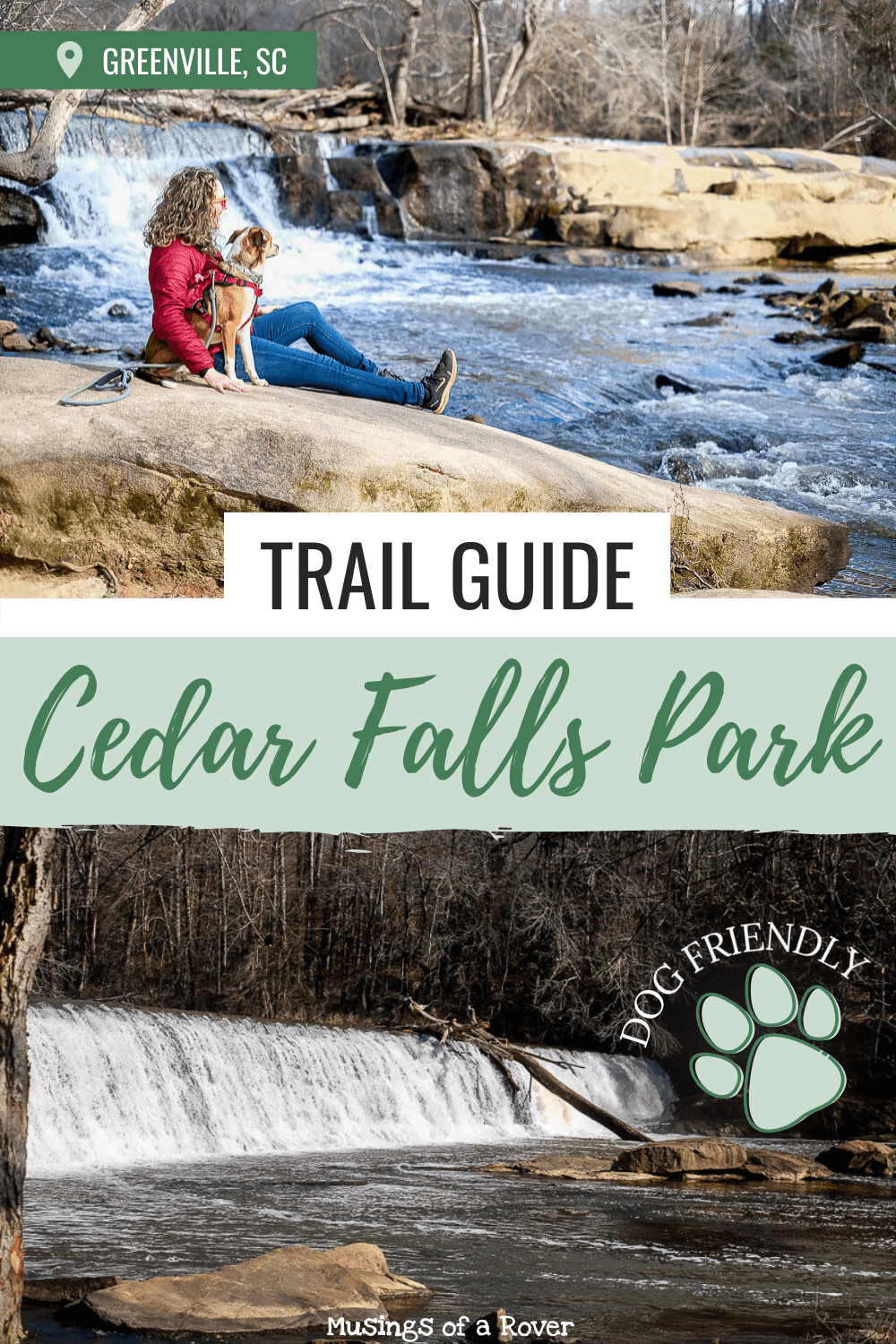
Are you looking for an easy hike that’ll let you escape into the woods, see maybe a cool site, but not leave you panting and sweating profusely? Enter Cedar Falls Park. This small county park located in Fountain Inn is a great little getaway when you want to get outside without climbing a mountain.
There are days where I feel super motivated. Days I want to climb that mountain. Hike for 5+ miles. Stand under a waterfall. And then there are days I just want to go for a stroll and listen to the forest. Perhaps these are my lazier days. But let’s call them my rest and reflective days.
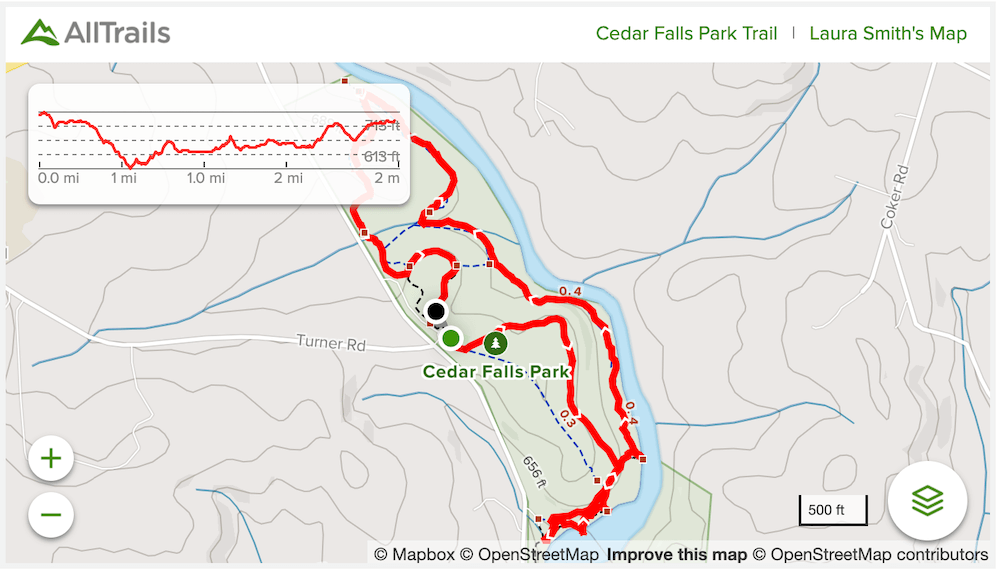
Cedar Falls Park has just 4 main trails. None are very long. You can walk them until you get tired and head back. For a slightly longer hike, I like to piece them together for a nice hour long walk. And that’s what I’ve included below.
If walking around in the woods for an hour isn’t for you (or for the people with you), Cedar Falls does have a few other attractions: nice playground, a large activity lawn for games, and a sand volleyball court. There are even bathrooms by the picnic shelter. And if you just want to see the dam, then you can park there and walk like a couple hundred feet to the shore.
Read Next: The Best Places to Go Hiking Near Greenville, SC

Forest + River + Nature Trail Guide
Distance: ~2 miles
Difficulty: Easy
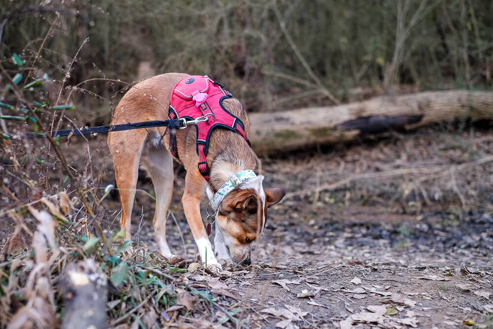
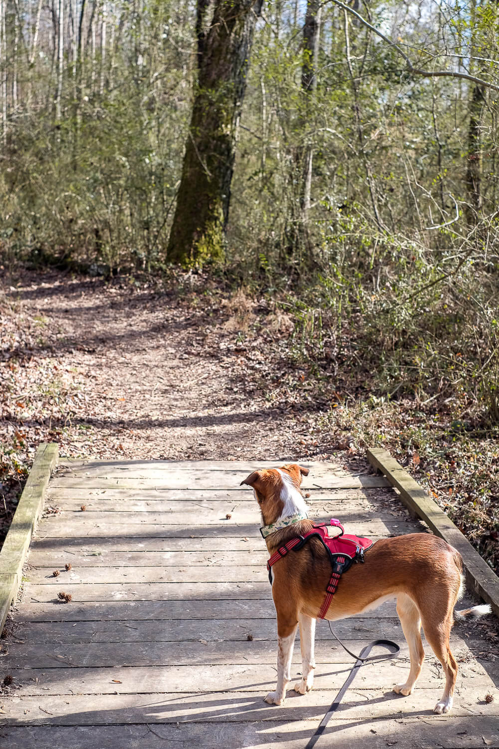
Dog Friendly: Yes
Trailhead: Start on the Forest Trail at the main parking lot near the picnic shelter
Elevation Change: ~135ft
Time: 1 hour
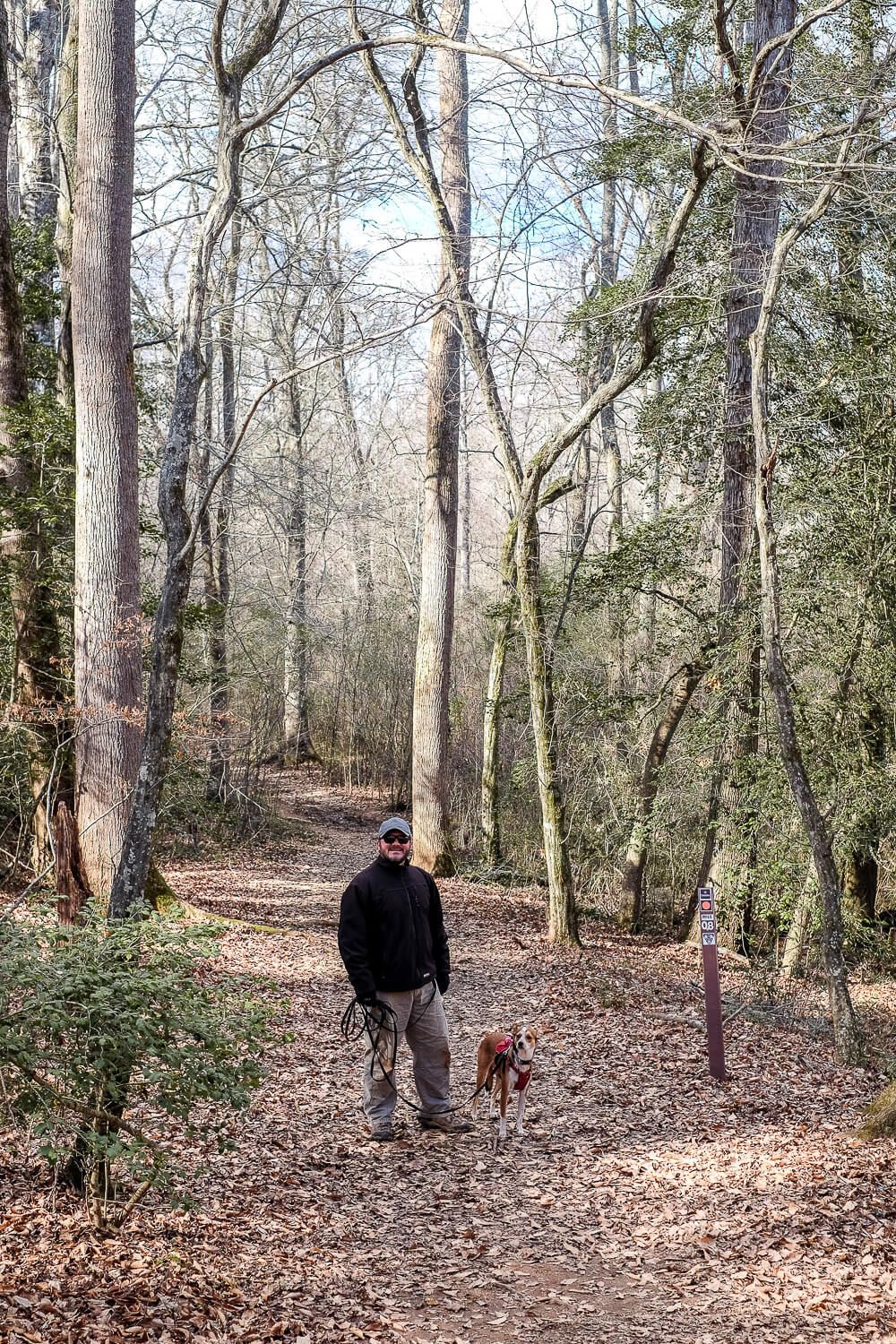
Forest Trail
Start off at the main parking lot at Cedar Falls Park. It’s the one near the picnic shelter and the bathrooms. On the right side of the parking lot, you’ll see the paved Forest Trail heading towards the woods.
You can also see a map of the park near the picnic shelter and bathrooms if you want to orient yourself better.
None of the trails here have much elevation. And the Forest Trail slopes downward so it’s very easy in this direction.
Plus it’s a good paved trail as well if you’re looking for that. However it’s only about a 1/2 mile before you intersect with the River Trail.
River Trail
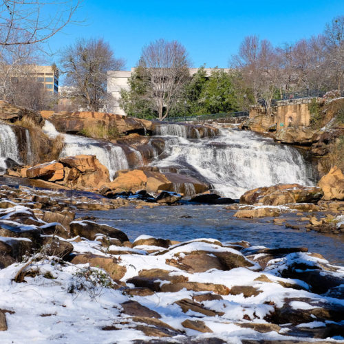
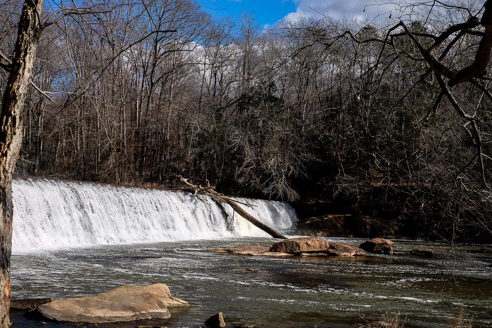
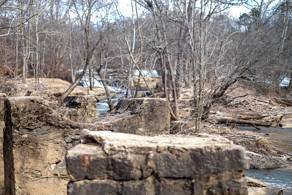
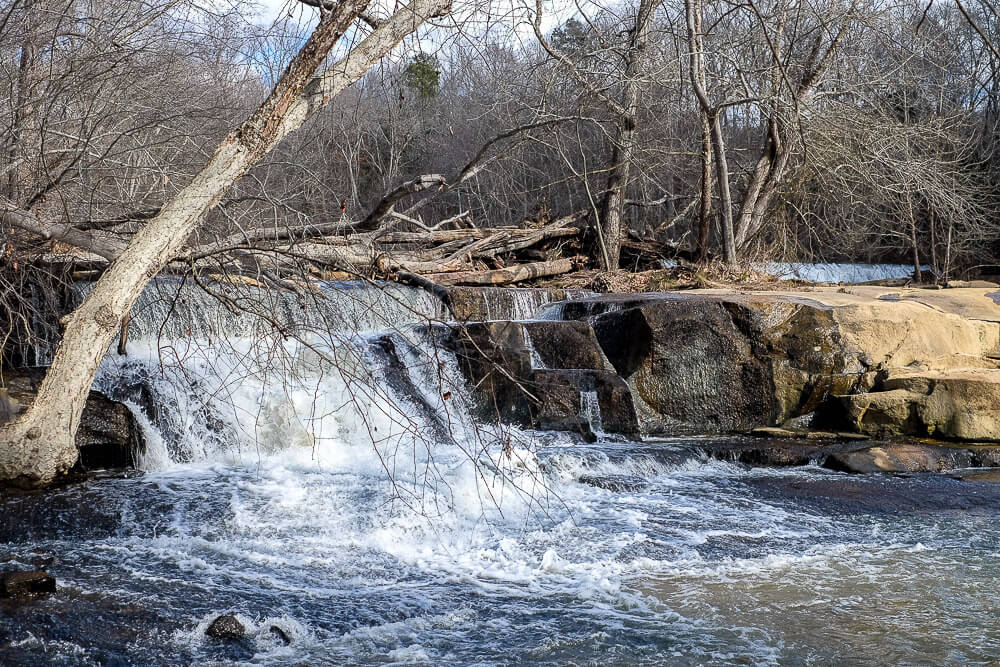
Head to the right along the River Trail towards the bottom of the hill to take in the dams and rapids. This is the main attraction in the area and is where I basically took all of my pictures.
There are a few placards along the way where you can learn about the Cherokee who used to live in the area and the two dams that were constructed here. (And that you can still see parts of.)
Greenville has a lot of waterfalls in its surrounding area so the ones at Cedar Falls may seem a bit smaller. But I still really enjoyed watching the rapids for awhile. Plus with all the rain we’d gotten, the water was moving.
NOTE: If you come when it’s warmer, I wouldn’t wade into the water though. Bacteria and pollution levels have exceeded safe levels and swimming could make you sick.
Once you reach the bottom of the hill, you can take the small trail along the shoreline for a closer look. Then climb back up to the River Trail.
From there head back towards the Forest Trail. But keep heading straight at the intersection until you hit the Nature Trail on your left.

Nature Trail
The Nature Trail, at 1.5 miles, is the longest trail in the park. It winds along the river at the back of the park before looping around the far side and popping out near the playground.
The Nature Trail isn’t paved (it’s a “natural surface” trail), but I loved this small walk in the woods. It’s relatively flat and there are even benches along the way if you just want to stop and rest awhile.
If you want to end your hike early, there are side trails off to your left that will cut off parts of the hike. There’ll be a sign at these intersections with a little map of the park so you know which way is the trail and which way is the shortcut back.
Once you reach the playground, we headed to the left and walked the loop around the Activity Lawn (a short 1/4 mile paved trail), before heading back to the car.
Cedar Falls Park Trail Map
Sometimes you just need to get outside for an hour or so. Get away from the screens for a bit. Without, you know, climbing a mountain. And I’m glad we have the option of Cedar Falls Park.
Click the image or the buttons to view the map in more detail.