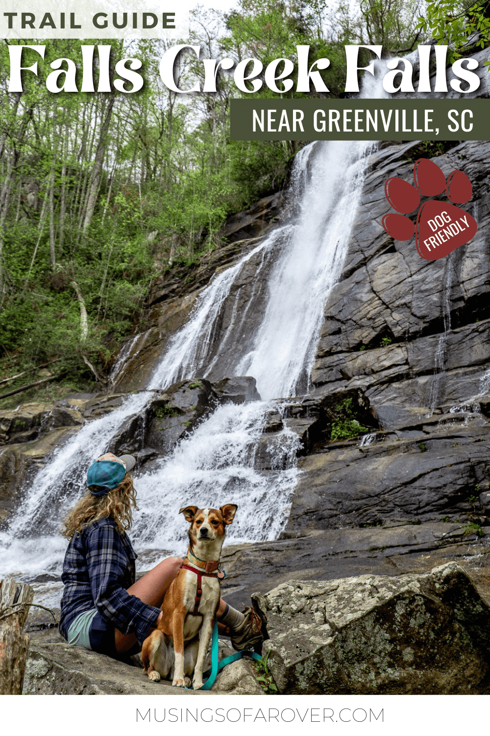
The Falls Creek Waterfall feels like a bit of a hidden gem when I discovered it. Since it’s not accessed through a state park or a large pull-off, this really limits the amount of people who can see it at one time. But that shouldn’t dissuade you from trying!
Why? Well, because the Falls Creek Waterfall is impressive. I was not expecting a waterfall of this size to be hidden away. And while it’s near/in Jones Gap State Park, the trail you’ll be on isn’t. (It is in the Mountain Bridge Wilderness Area.)
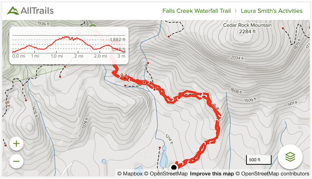
But the limited access isn’t the only hurdle in your way. The hike to reach it isn’t easy. Don’t let the length of the roundtrip journey fool you. There’s some serious elevation change here. Make sure you’re prepared before you head out.
Read Next: Hike to Rainbow Falls in Jones Gap State Park
Falls Creek Waterfall Trail
Distance: ~2.2 miles out and back
Difficulty: Moderate
Dog Friendly: Yes
Trailhead: Small trailhead via Falls Creek Rd. near Jones Gap State Park
Fee: There is no fee to hike the trail.
Elevation Change: ~900ft
Time: 1.5-2.5 hours
Okay so I had read that the trailhead parking was limited. And yet I was still shocked when I arrived. The trailhead is basically tucked away into a little neighborhood and there are serious limitations on parking.
Please follow the signs on where you can and cannot park. Again this is in a neighborhood. If there isn’t room for you to park, it’s time to move on to your backup plan.
Read Next: The Best Places To Go Hiking Near Greenville, SC
There is room for maybe 3 cars to pull in, and, maybe another 5 or so to park along one side of the road. And that’s it. I hiked this on a Thursday morning in April and saw only one other group the whole time. But I can guess it gets filled up fast on the weekend. Plan to come early (or late) or to come on a weekday.
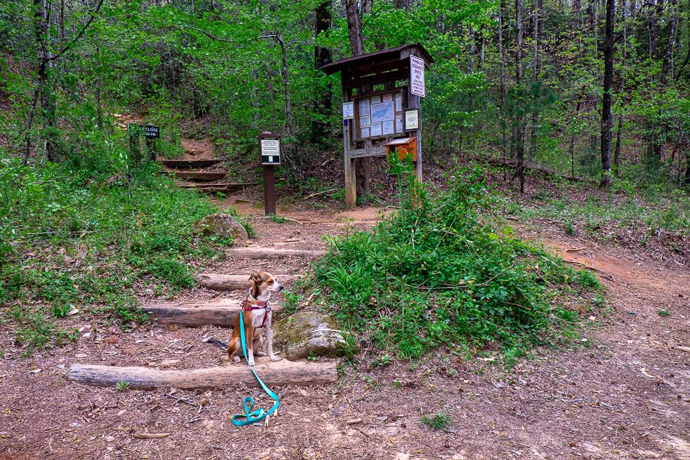
You can’t miss the trailhead though. You’ll round the corner and then see the kiosk perched up on the embankment to your left.
Take a look at the map and fill out the hiker registration card before you get started.
Now straight out of the parking area the trail heads uphill for about a 1/3rd of a mile. It’s not too steep though and the trail is wide (once you get out of the initial couple hundred feet).
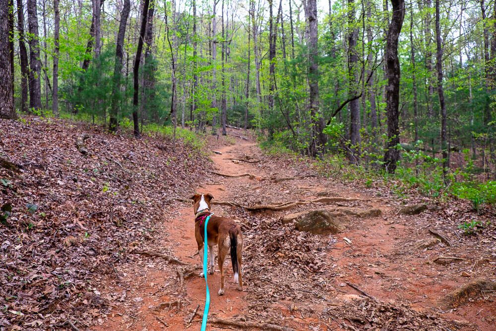
After that the trail kind of levels out and you hit a super wide, rolling section of the trail. You’ll actually head down a bit but it’s all very gradual.
One interesting note is that both on the way there and on the way back, I heard a weird noise in this area. I thought maybe it was turkeys so I made sure to keep Ellie leashed and close by in case some wildlife raced across the trail.
After this brief respite, the hardest part comes after you cross a small stream. (And I do mean cross as you’ll need to do some rock hopping if you don’t want to get your feet wet.)
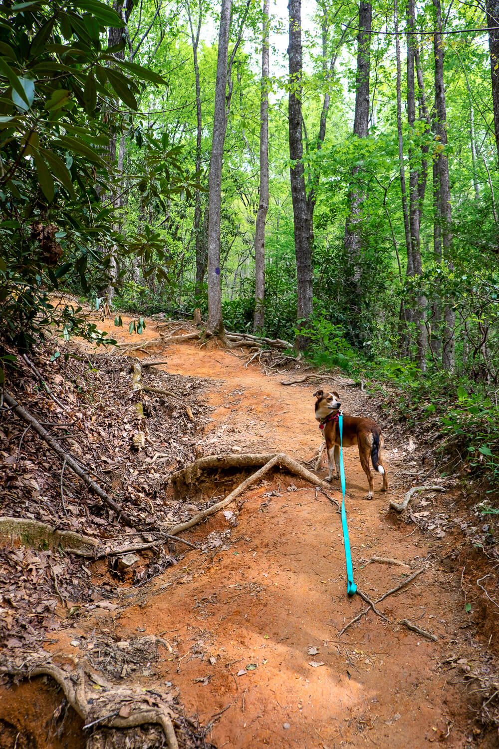
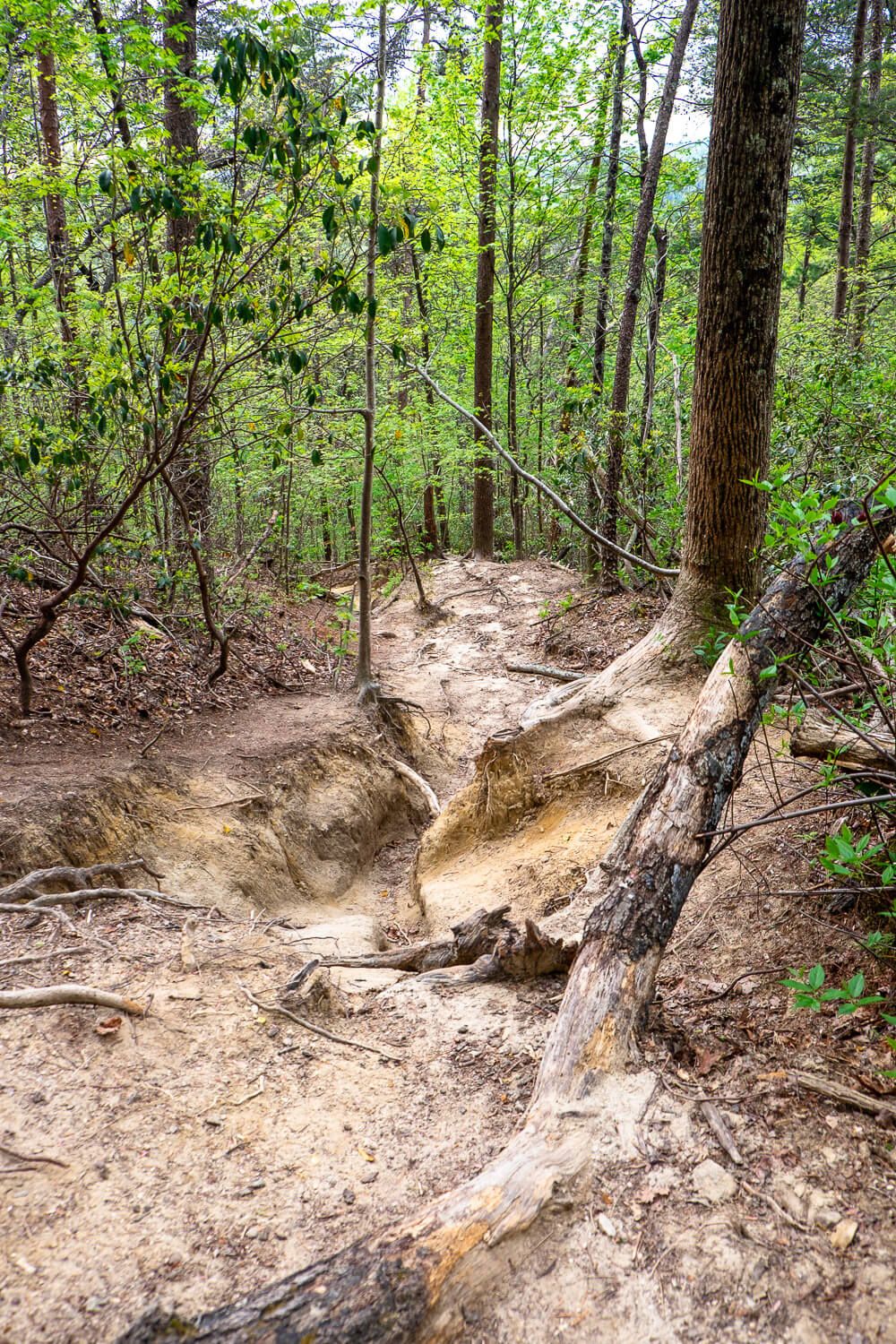
The next half mile of the trail is basically straight up until you reach the waterfall. Think a very rutted, rooted, rocky trail. There will be sections you’ll need to pull yourself up huge steps. And it just seems to continue on and on.
I kept hoping I’d turn a corner and see a flat section, but nope. I’d turn the corner and see another rutted, rocky climb up.
If you need to take breaks through here, definitely do so. Ellie and I took a brief rest at the stream and then another about 2/3rds of the way up.
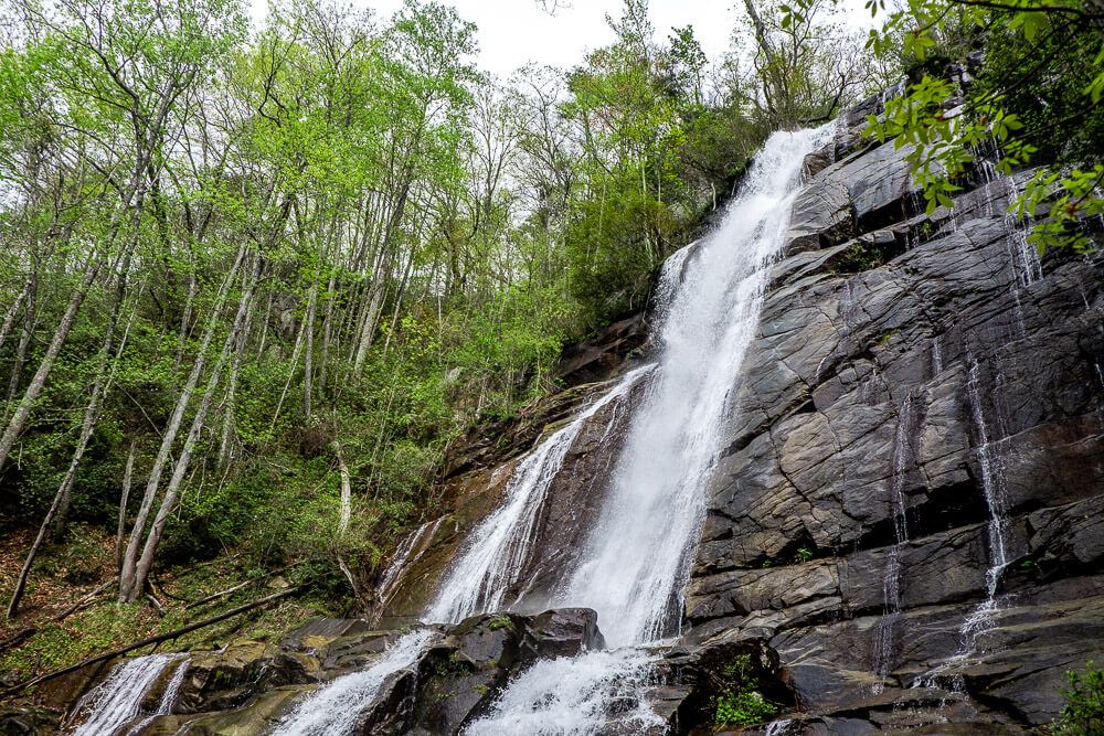
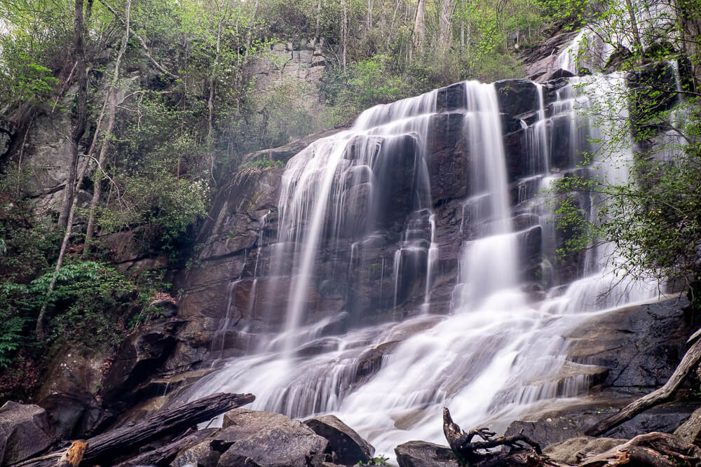
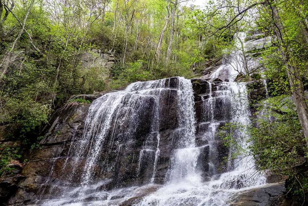
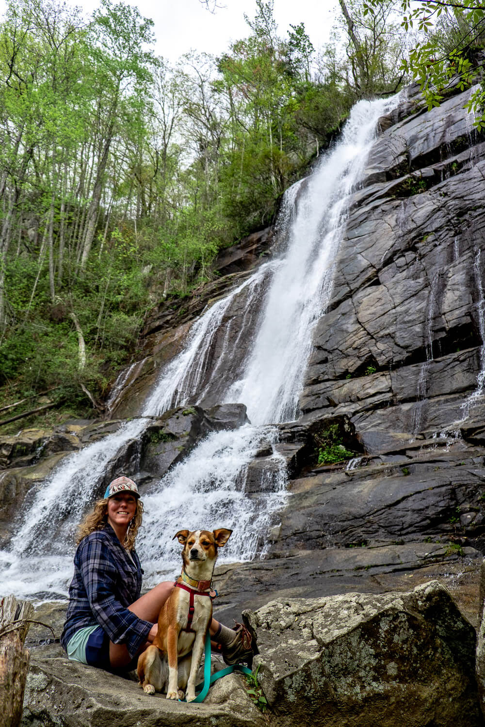
But once you make it, you won’t miss the giant waterfall awaiting you. The trail will intersect the waterfall at about the midway point between the two main tiers.
The main trail heads towards the base of the bottom tier and then (I think) across the bottom of the falls. There are a bunch of rocks and downed trees through here so be super careful if you do decide to go to the other side.
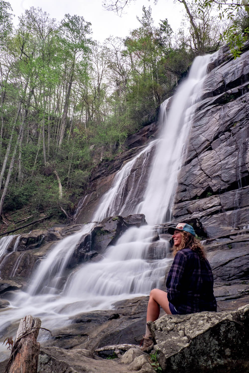
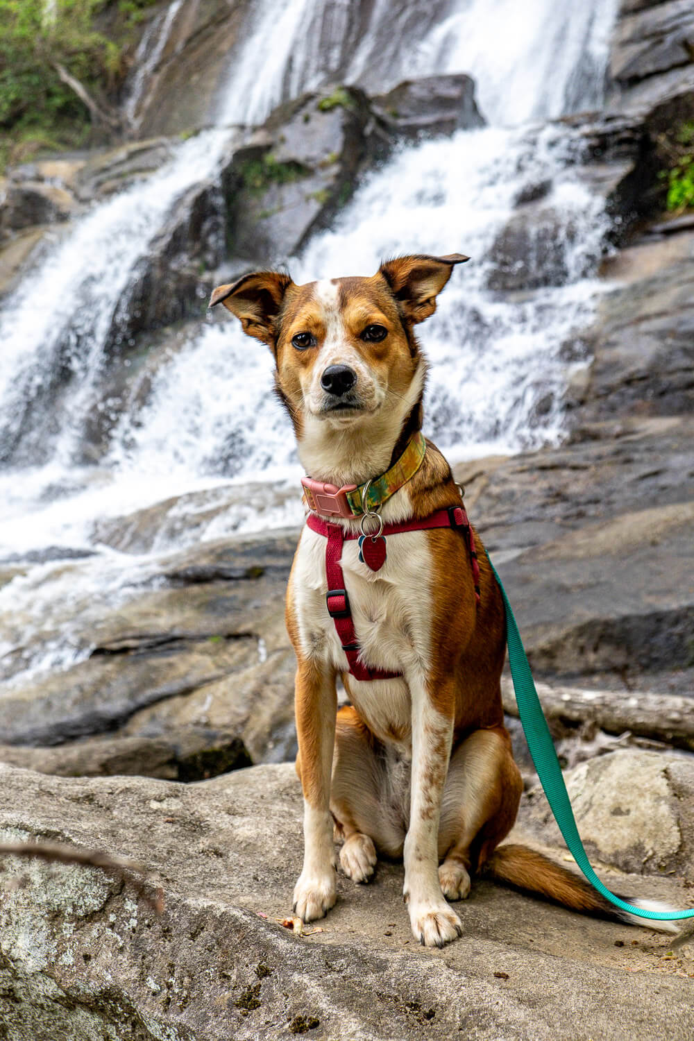
Since we had the waterfall to ourselves, I was more than happy to stay on this side (especially since I had Ellie with me).
We headed up to the top tier of the waterfall and then made sure to head down to the bottom before we left.
I struggled to get a good photo of the whole double-tiered waterfall it was that big.
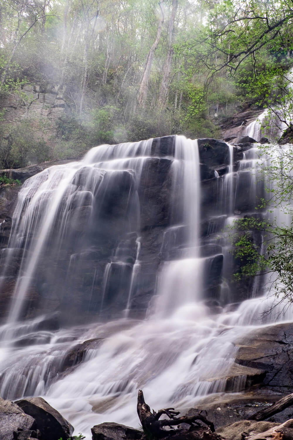
One thing to note here is that I’ve seen photos that I think were taken near the middle section of the bottom tier. The water was really moving the day we went out so I did not feel comfortable slipping and sliding my way closer to the Falls Creek waterfall. People have been seriously injured on the rocks near the falls so please use your common sense.
On the way back be really careful of your footing as I found it harder going downhill (in a technical sense) than it was going uphill.
Trail Map
Click the image or the buttons to view the map in more detail.