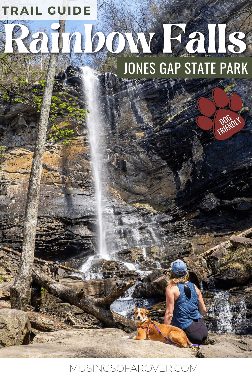
Do you want to visit one of the the tallest waterfalls in the region? Rainbow Falls in Jones Gap State Park tumbles off a ledge and plummets 140ft to the rocks below. Depending on when you go, the waterfall may be thin and wispy or thicker and wild.
However getting to Rainbow Falls is not an easy feat. While the total length may seem doable, there’s a fair amount of elevation change in the second half of the hike. Be prepared for some serious uphill sections.
When I’ve hiked this, I’ve encountered several people who simply had to turn around when they realized just how much up we’re talking here. So make sure you’re prepared when you set out!
Read Next: Hike the Table Rock Trail in Table Rock State Park
Rainbow Falls Hike
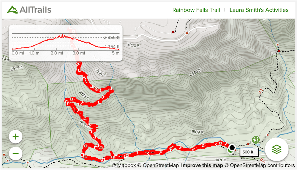
Distance: ~4.4 miles roundtrip
Difficulty: Strenuous
Dog Friendly: Yes
Trailhead: Located inside Jones Gap State Park
Fee: There is a fee to enter the State Park & an additional fee to park on weekends and holidays (see the Park Website for current prices & to reserve your parking spot)
Elevation Change: ~1,300ft
Time: 2.5-4 hours
Okay so first things first. Jones Gap State Park is a relatively small park. And they have one parking lot for day-time visitors. When the lot is full, it’s full. You’ll be turned away. So you’ll need to do some pre-planning if you are heading to Jones Gap.
First, if you are going on a Saturday or a Sunday or a holiday, you will need to make a parking reservation. This is a $5 parking fee and is in addition to the normal admission fee to the park. AND you’ll need to make the reservation 24 hours in advance.
To check if a reservation is needed, go to the Jones Gap website and look for the Park Advisory section (left on desktop, top on mobile). It’s big and orange/red. A linked document will be in that section with all the details and information on how to register.
One way to get around this whole extra registration thing is to go during the week (Mon.-Fri.). This is when I’ve hiked this trail and I’ve always gotten there before 10am. If I were you, I’d plan on getting there early.
Like most South Carolina State Parks, there is an admission fee. And you can pay this at the drop box (you’ll need exact cash) or at the Ranger Station/Gift Shop in the park.
Okay phew. Now that that’s taken care of, let’s get onto the hike!
Once inside of the park, follow the signs towards the hiking trails. You’ll go over a bridge, pass by the trout pond, restrooms, and visitor center before crossing back over the Middle Saluda River. Here you’ll see a large kiosk with a map of the park to orient yourself.
The main gist here is to stay on the Jones Gap Trail (blue blazes) for about .6 miles until the Rainbow Falls Trail branches off to the right (red blazes). You’ll then follow this trail all the way to the waterfall.
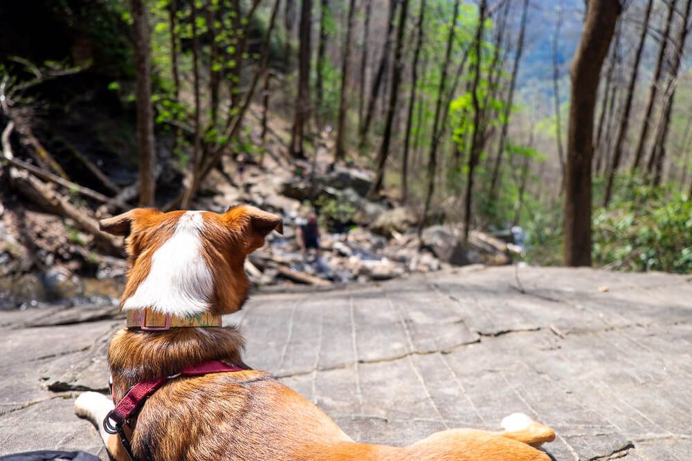
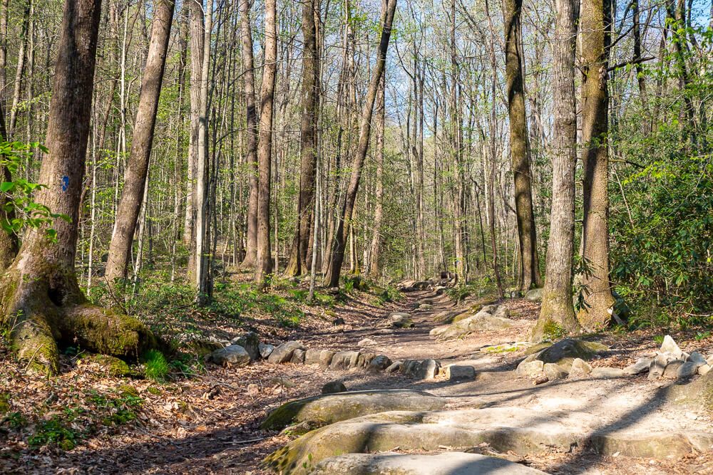
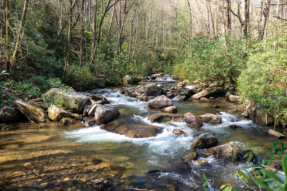
The first .8 miles or so of this hike is fairly easy and level. The trail follows the southern bank of the Middle Saluda River. It’s very rocky in places so be sure to watch your footing as you’re making your way through here.
The river itself is very beautiful and I enjoyed watching all the rapids.
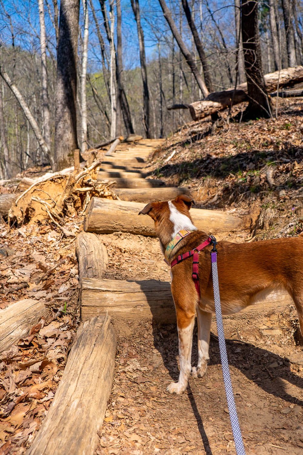
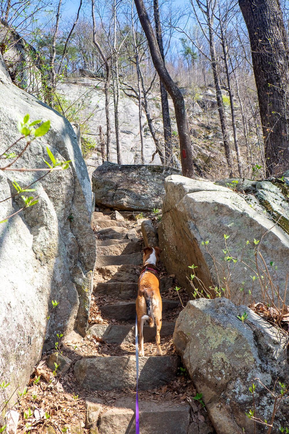
However a little after you cross over a bridge the trail turns northward (like making a right turn away from the river). This is where the “up” starts. And is where almost all of the elevation of this hike lies.
There are a number of steps. And I always find climbing stairs to be a lot more tiring than a slope. So if you need to take a couple rests here, please do so.
This goes doubly if you have a dog with you. Stop often to give them water. I take a short break every 1/2 mile at a minimum to give Ellie a rest and to offer her some water.
Lastly, if you are hiking this when there are no leaves on the trees (like it was in early April for me), you’ll be hiking on a south-facing slope. Keep an eye on the forecast for sun. You may need to put some sunscreen on.
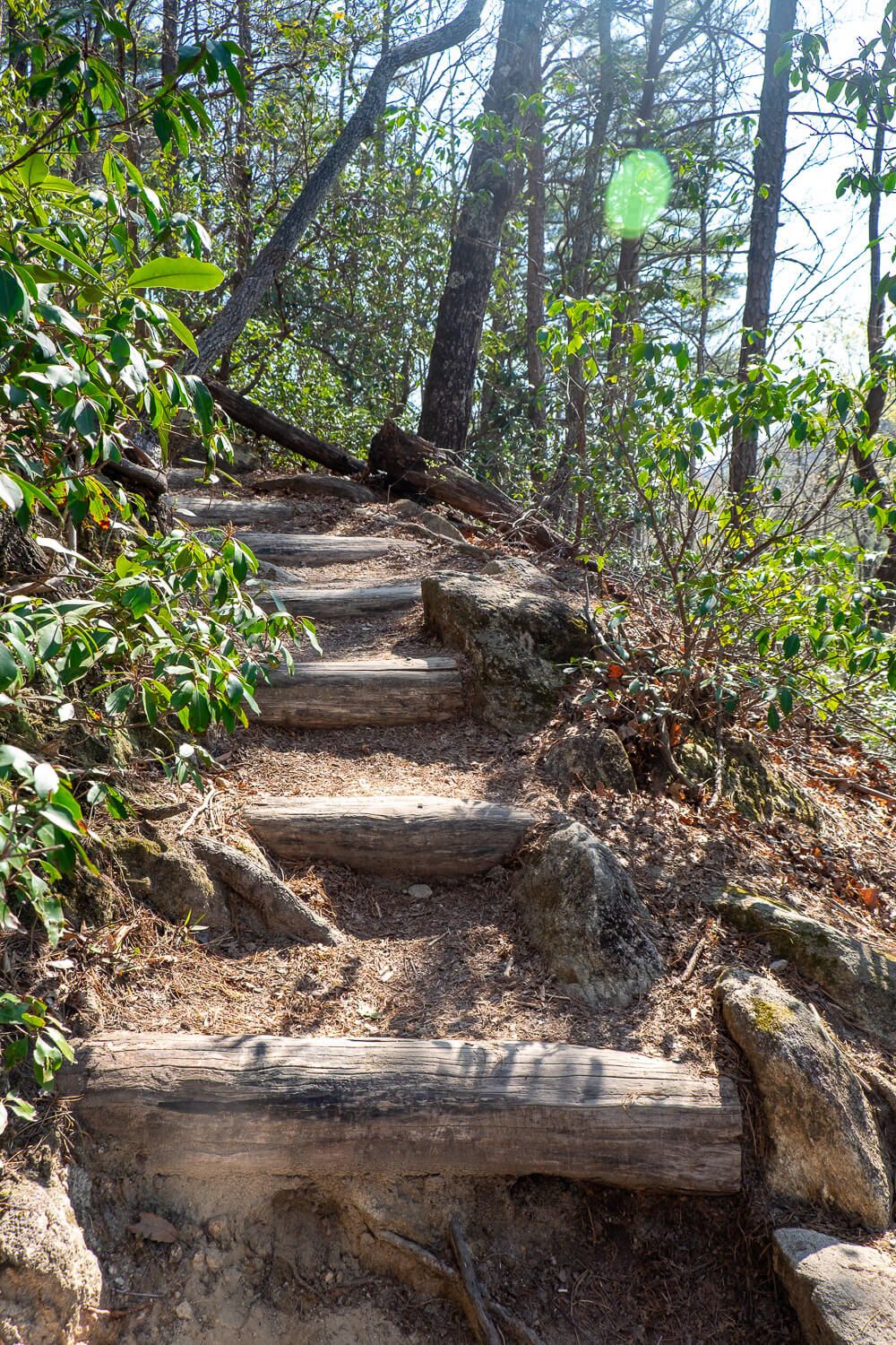
However, I would say the worst part of the hike is between .8 and 1.7 miles. The last 1/2 mile of this hike is fairly level. You’ll still be climbing a couple hundred feet of elevation, but it’s definitely more gradual.
This more level section will start after you hit a rock wall and the trail goes left along the base of it.
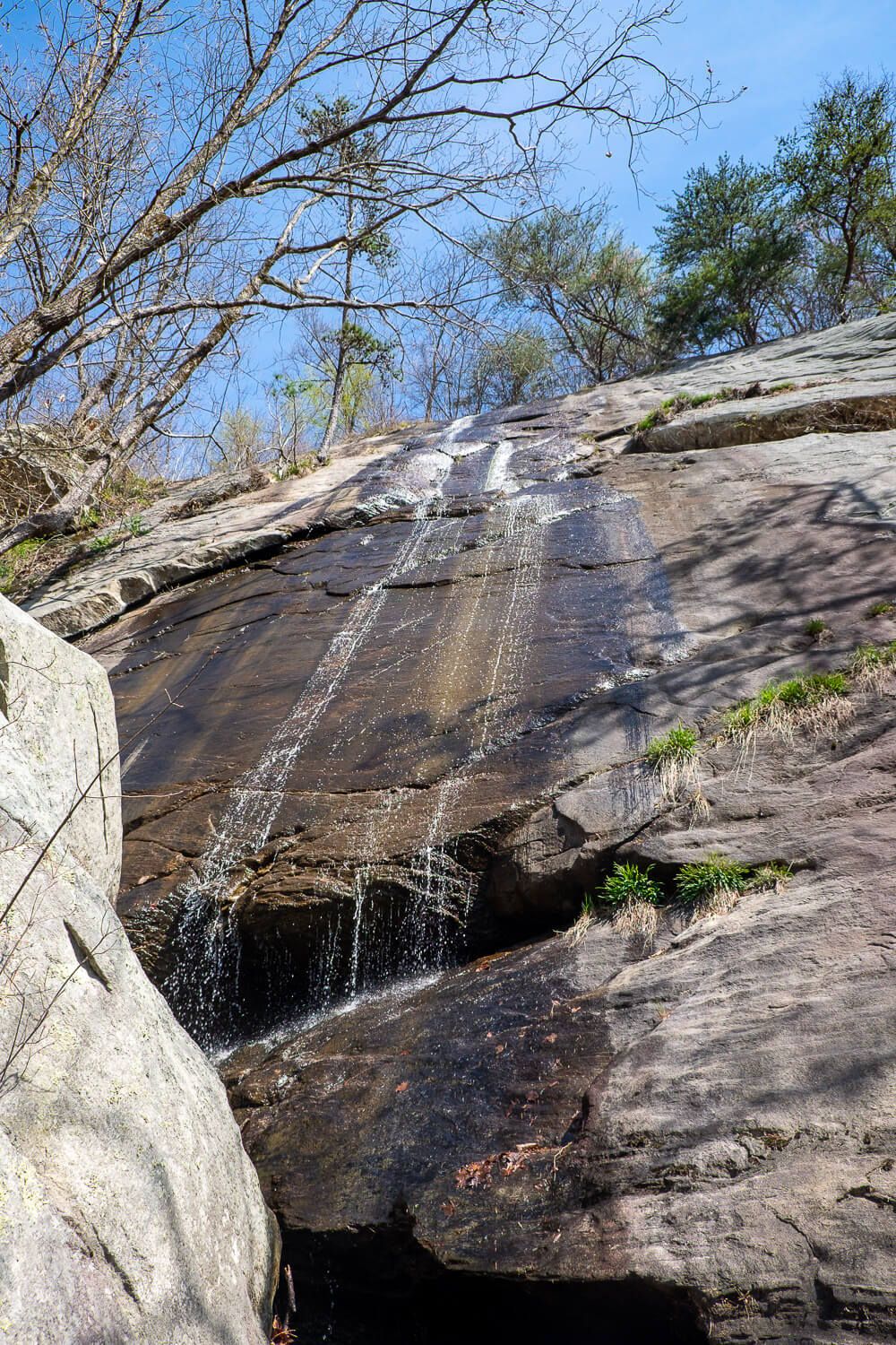
At this point also, as you round a corner, you’ll start to be able to hear the waterfall. We were still a 1/2 mile away when I could begin to hear the faint roar of Rainbow Falls.
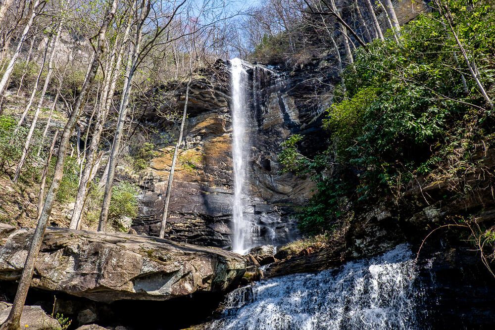
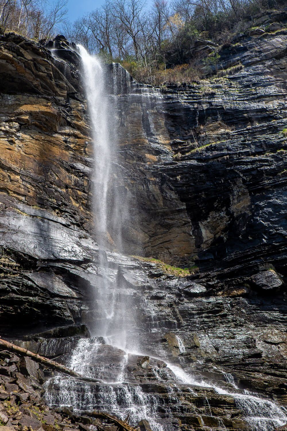
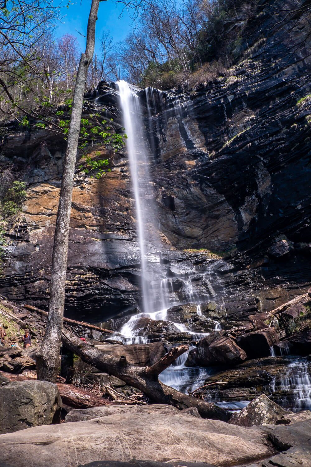
Before you know it this beautiful waterfall will start to come into view. The first time I saw Rainbow Falls, I was blown away by just how tall it was. (140ft is nothing to sneeze at you guys.) And it was also very wispy, thin, and ribbon-like that day.
There are several places around the base of the falls to sit back and relax (depending on the water level). If the water is low, you can hop over some rocks to follow the trail up to the far side of the base of Rainbow Falls.
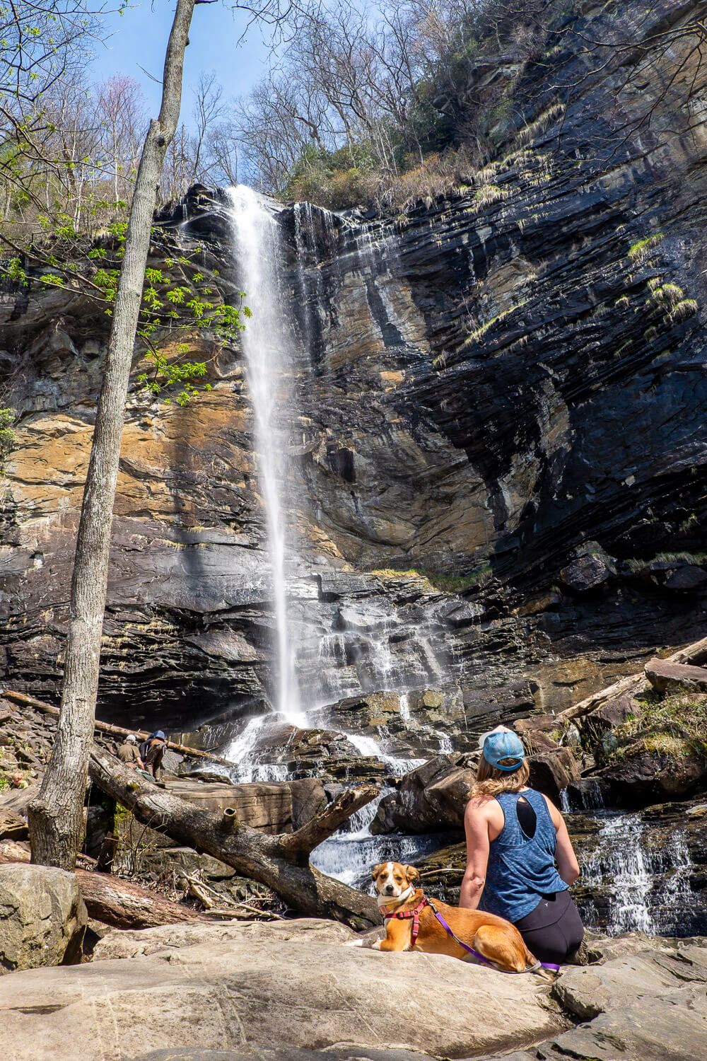
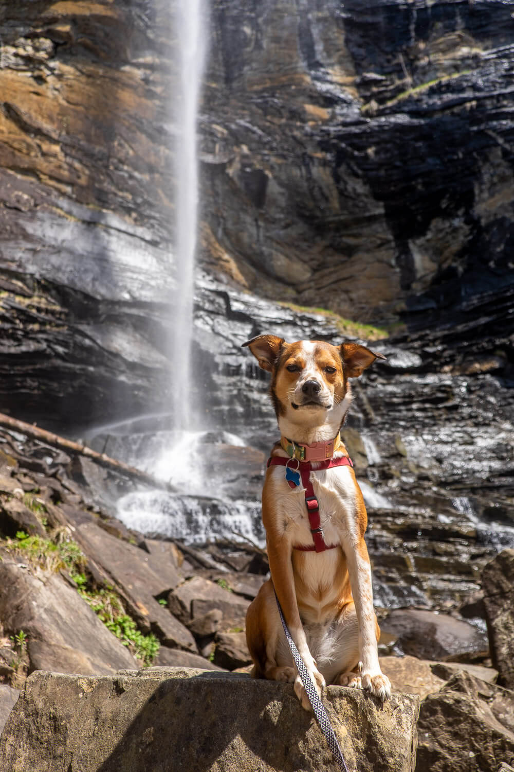
Ellie and I went this way and then perched on a large boulder that was just far enough away we could still get the whole waterfall and ourselves in some photos. We definitely took this time to rehydrate and eat some snacks to refuel.
If you go a tad closer (like in the photo of Ellie below), you will absolutely feel the spray of the waterfall. (Be careful with phones & cameras! I kept having to wipe my lens off.)
Before hiking back, I went and stood close enough to feel this spray and just let the waters cool me off. Plus feeling a waterfall is one of the best things in the world.
Definitely use your best judgment around the base of Rainbow Falls. Don’t try to cross if the water level is too high.
The hike back down will be loads easier (though maybe not for your knees – mine hate the downhills). Be sure to still take a break if you need one. And again, I always stop for Ellie to give her water, even on the downhill.
Read Next: Three Waterfall Hike in Dupont State Forest
Rainbow Falls Trail Map
Below is a recording of my hike to Rainbow Falls for your reference!
Click the image or the button to view the map in more detail.