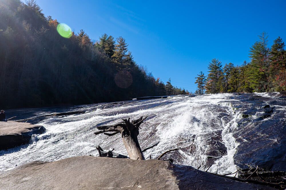
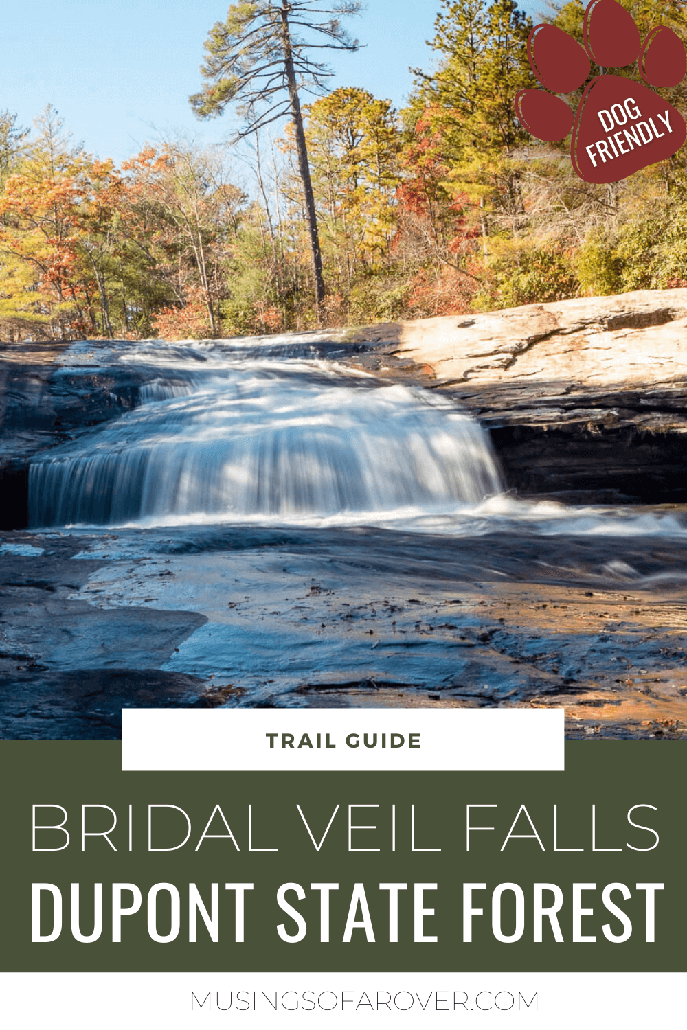
Dupont State Forest has miles of trails and lots of waterfalls. I love exploring what it has to offer. And though I enjoy hiking to Hooker, Triple, and High Falls, I knew I wanted to see what else the forest has to offer. So I decided to hike to Bridal Veil Falls=.
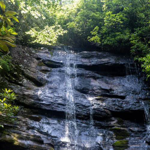
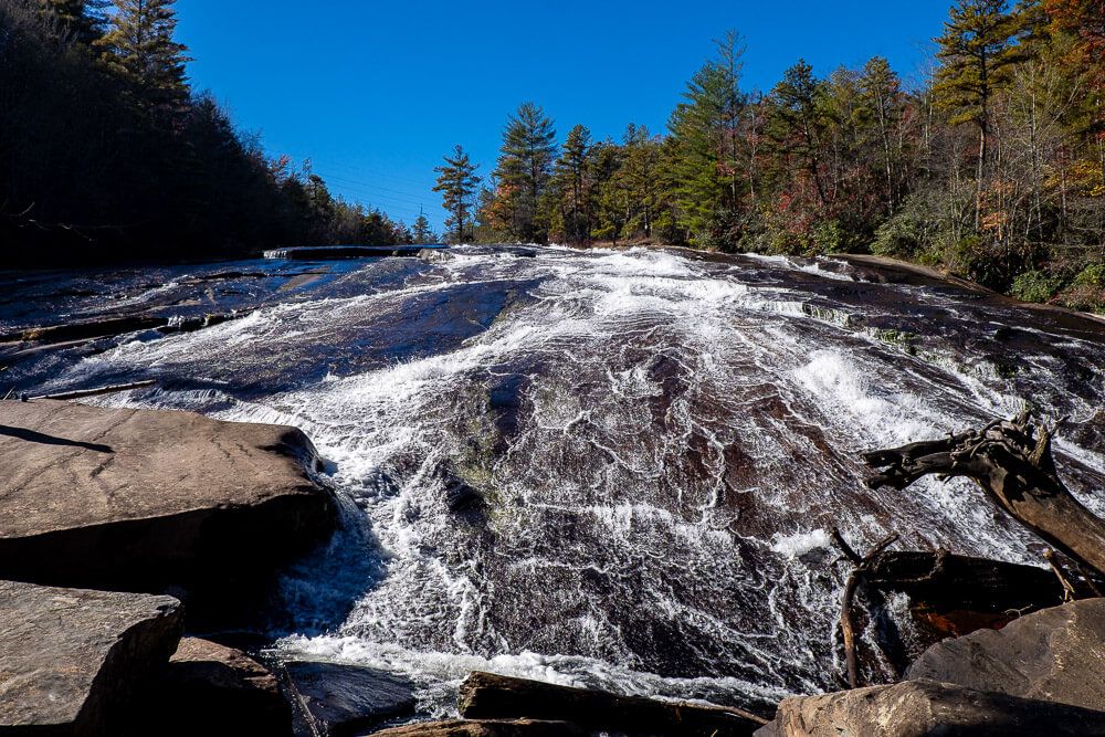
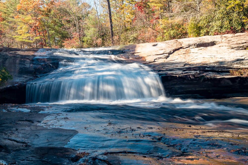
Bridal Veil Falls is not only the first waterfall along the Little River, it’s one of the most unique. It’s split into two parts. With the top portion dropping off an overhanging ledge (about 4ft tall), and the lower part falling down a long shallow incline.
It’s the lower part that (I think) gives the waterfall its name. It looks like a long veil as it flows down the granite. But the upper portion is quite famous as well. You can catch it in the Last of the Mohicans.
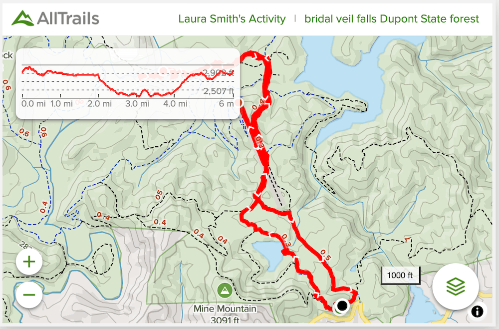
Lastly there are several different ways you can get to Bridal Veil Falls. I’ve included one route via the High Falls Parking Area (and Visitor Center) and one from the Fawn Lake Access Area. Here’s a map of the forest for your reference.
Bridal Veil Valls from Fawn Lake Access Area
Distance: ~4.75 miles roundtrip
Difficulty: Moderate
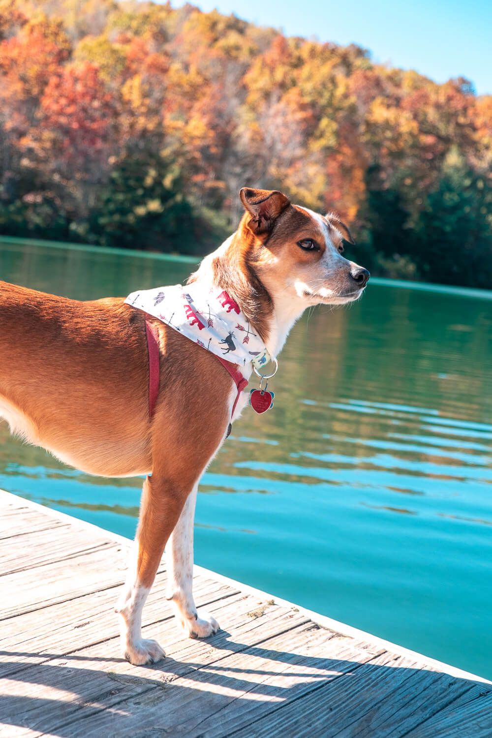
Dog Friendly: Yes
Trailhead: Fawn Lake Access Area in Dupont State Forest
Elevation Change: ~600ft
Time: 2.5-3 hours
The Fawn Lake Access Area is located along the southern border of Dupont State Forest. It’s a much smaller access point (and parking lot) than the High Falls or Hooker Falls Access Areas. It also seemed far less busy. (There are also no bathrooms here, just a lone porta potty when I was there.)
But if you want to make sure you get a parking spot, make sure to get there early in the morning, especially during peak times.
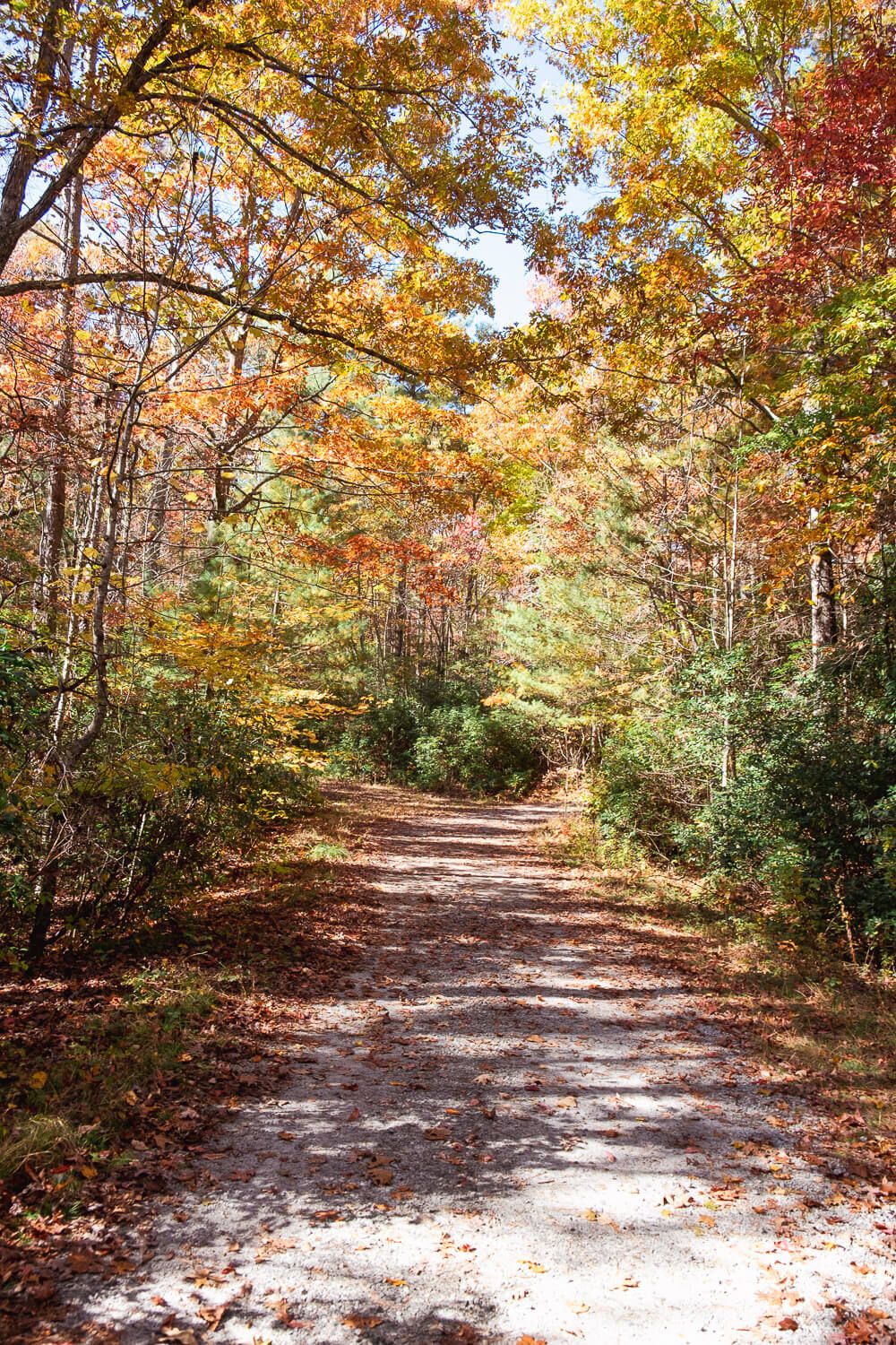
Now there are several different trails you can take from this parking lot to get to the waterfall. I’ve outlined the way I went below which was to stay mostly on the forest roads. (These are not roads cars can drive on but more like wide gravel trails. Mountain bikers and horses also use them.) This way was easy to follow and not too steep.
That being said, you are basically hiking down to the waterfall. I didn’t quite realize this until we were halfway back to the lot. Make sure you have energy for the climb back to the car.
From the parking lot you can either go left or right. I suggest making a small loop. To start we went left on Fawn Lake Road. This took us right by, you guessed it, Fawn Lake. It’s a great spot to snag some photos or even have a snack in the little pavilion overlooking the water.
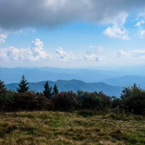
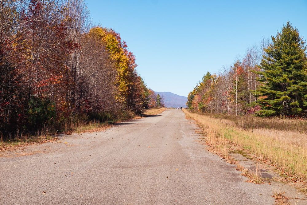
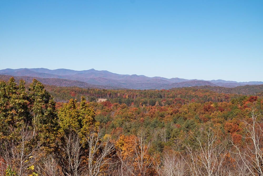
After about a mile you’ll make a left on conservation road and which’ll take you across the airstrip. For a great view, walk to the end of the airstrip. There aren’t many wide open vantage points like this in the Forest, so definitely do it if you have the time. It’ll add about .7 miles to your walk.
After the airstrip, the road will wind down and past some forest buildings. (This is a long downhill, so be prepared for it on the way back.)
Then it’s a left onto Bridal Veil Falls Road and after a brief half mile or so, you’ll arrive at the falls.
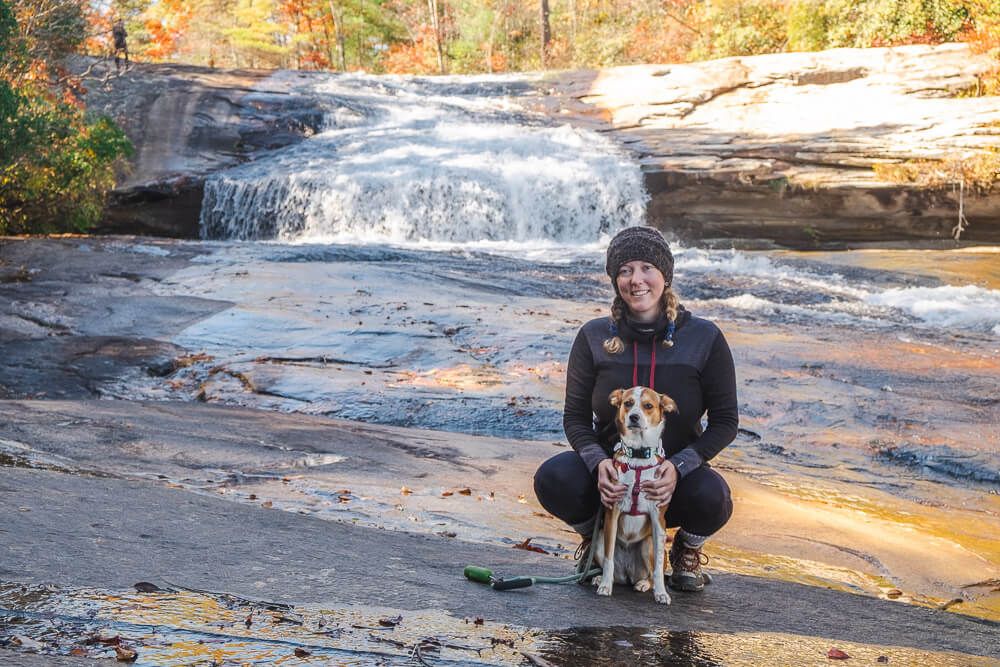
This is a great place to kick back, relax, and refuel. Just be careful around the rocks at the base of the falls.
Click the image or the buttons to view the map in more detail.
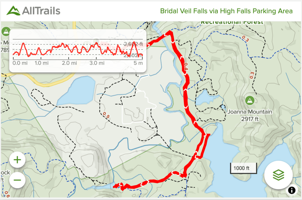
Bridal Veil Falls Via High Falls Access Area
Distance: ~4.75 miles roundtrip
Difficulty: Moderate
Dog Friendly: Yes
Trailhead: High Falls Access Area / Visitor Center in Dupont State Forest
Elevation Change: ~375ft
Time: 2.5-3 hours
The High Falls Access Area is much more popular. This is not only where the main visitor center is, but it has the biggest parking lot and is very close to two very beautiful waterfalls (High Falls & Triple Falls). If you are planning to hike to see any of the other waterfalls in this area, I’d park here.
I’ve never actually hiked from this parking lot to to Bridal Veil Falls, but I’ve hiked portions of this trail. Plus I wanted to include it since it’s popular for people to combine Bridal Veil with High Falls.
From the parking lot, head straight east onto Buck Forest Road. If you end up on a the High Falls trail, this is fine. Just take right turns and it’ll take you back to the road.
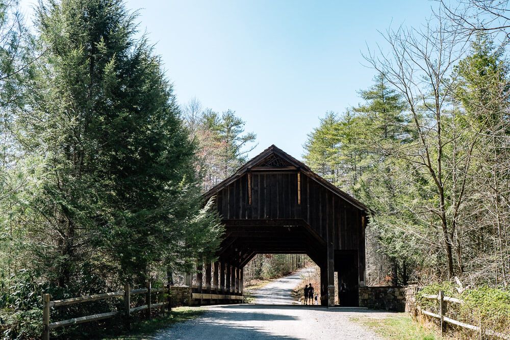
You’ll then cross through one of the cooler features of the park, the Covered Bridge.
Right after the bridge, turn right down Conservation Road. The road is fairly level for the next mile or so. It does go up and down, but this hike to Bridal Veil is almost 50% less steep than the hike from Fawn Lake.
From there make a right onto Bridal Veil Falls Road and in another .5 miles you’ll arrive at the base of the waterfall.
Click the image or the button to view the map in more detail.
![Hike the Raven Rock Loop [Trail Guide]](https://www.musingsofarover.com/wp-content/uploads/2022/03/raven-rock-loop-trail-guide-8-500x500.jpg)