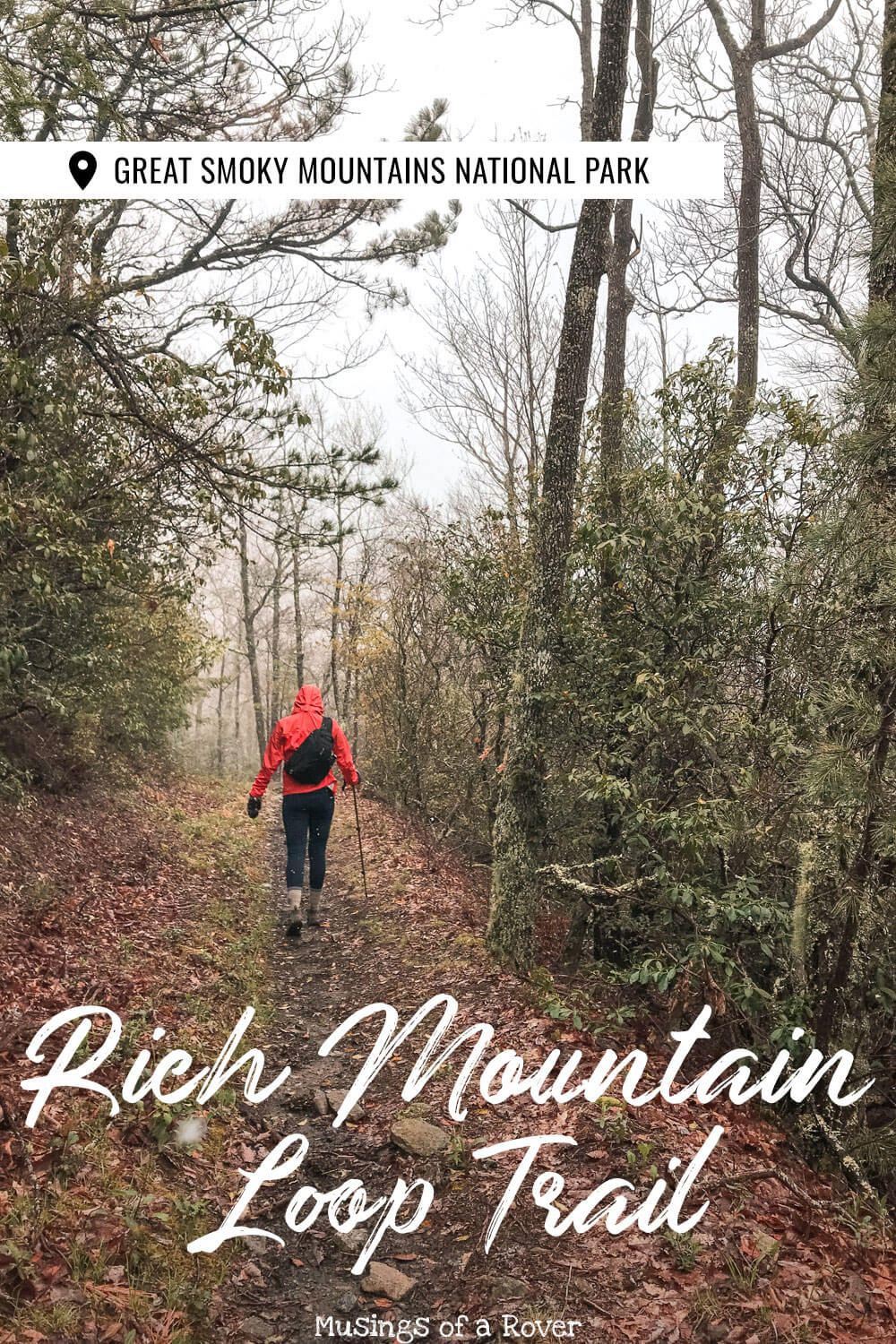
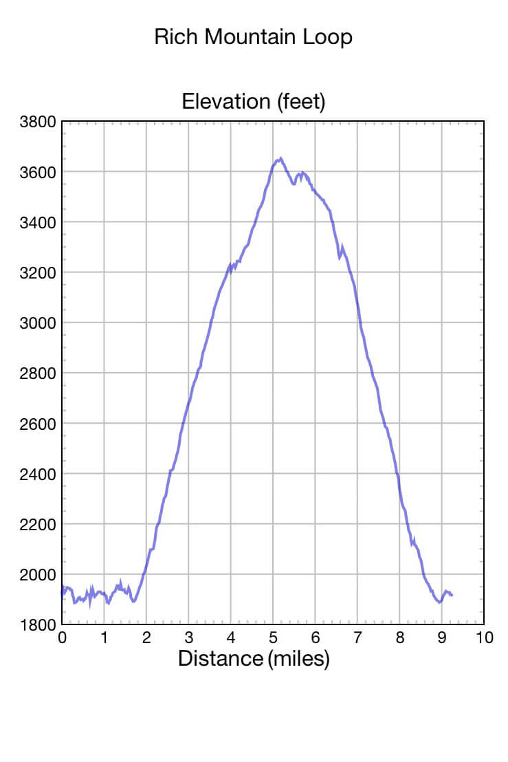
Are you looking for a long day hike away from the crowds near Cades Cove? Then the Rich Mountain Loop might be what you’re looking for! This definitely isn’t an easy jaunt (over 8 miles), but if you want some time to yourself (and away from the hordes in Cades Cove), then I’d add this one to your list!
It’s got views (if you’re lucky), wildflowers, stream crossings, possible wildlife sightings, and even a waterfall. And did I mention it’s not that popular? I find this to be key when discussing anything near Cades Cove.
Read Next: Abrams Falls Trail Guide
Rich Mountain Loop
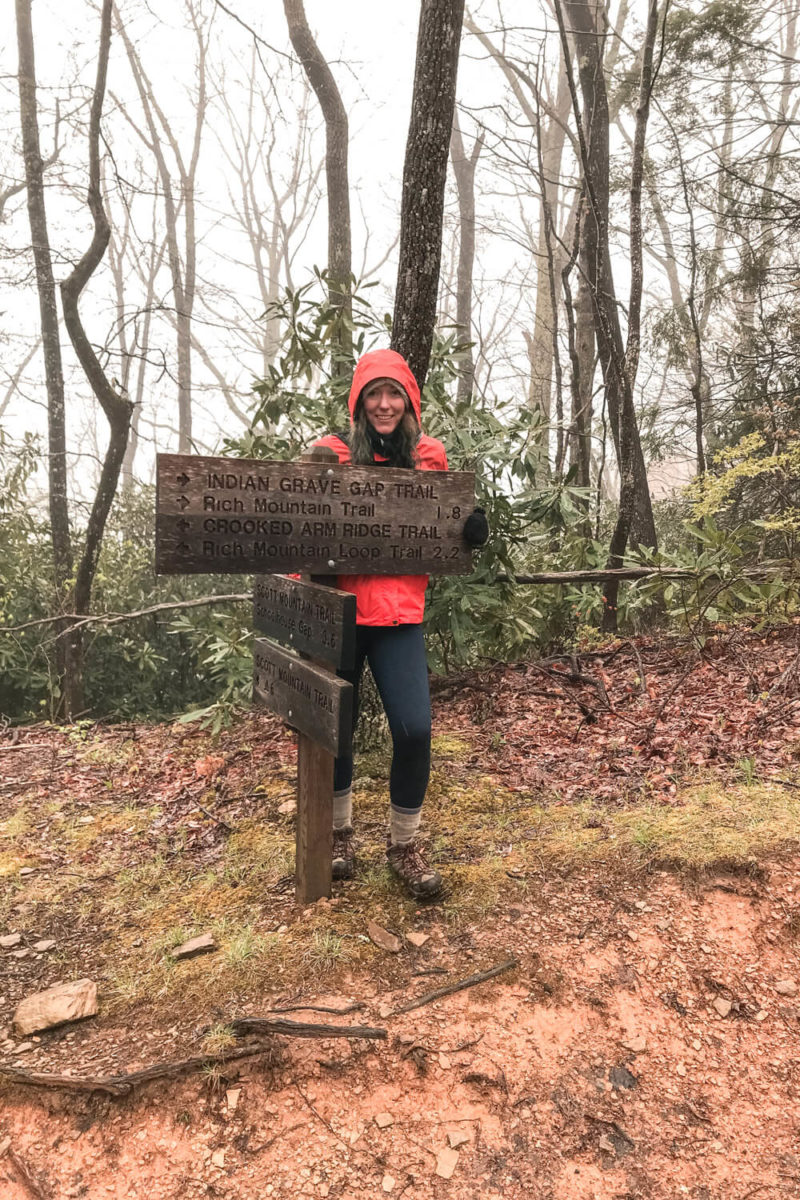
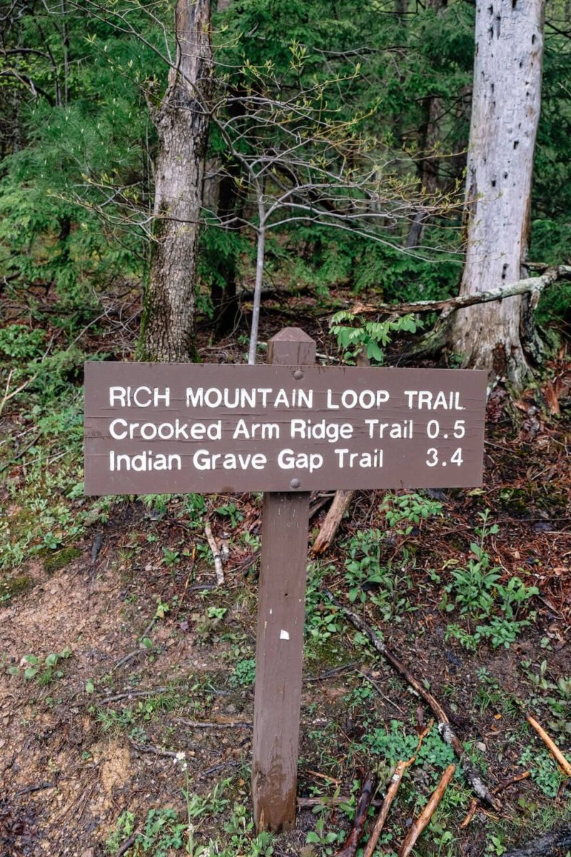
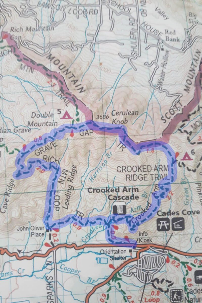
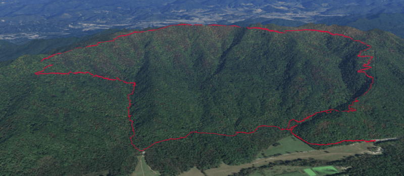
Now this loop is a hodgepodge of three different trails. First you’ll start on the Rich Mountain Loop Trail then on the Indian Grave Gap Trail and lastly on the Crooked Arm Ridge Trail. You can see a map of these three below.
One important thing first though. I definitely recommend hiking this loop in a clockwise direction (as I detail here). It’ll be much easier going up the Rich Mountain Loop Trail. Trust me.
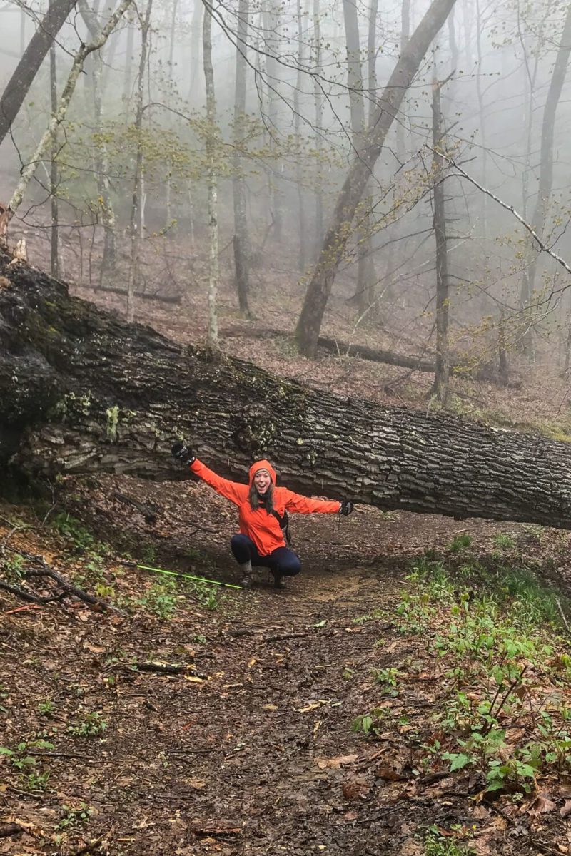
Lastly when we hiked this in April, we passed a total of 1 person on the actual trail. We did see people around the cabin, but for the rest of the hike we were basically by ourselves.
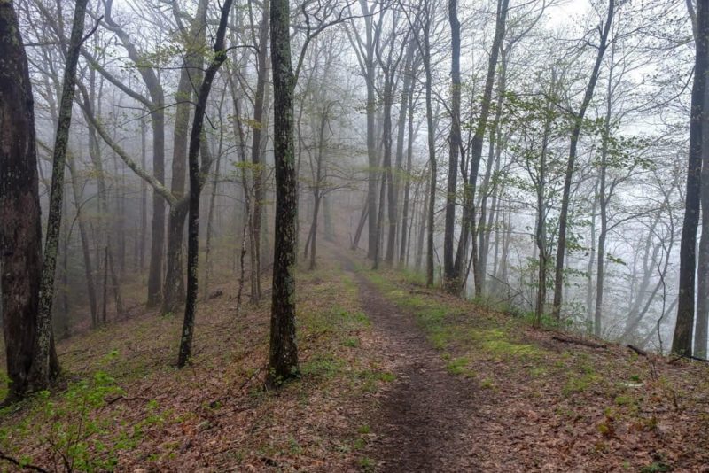
Rich Mountain Loop Trail
3.3 miles
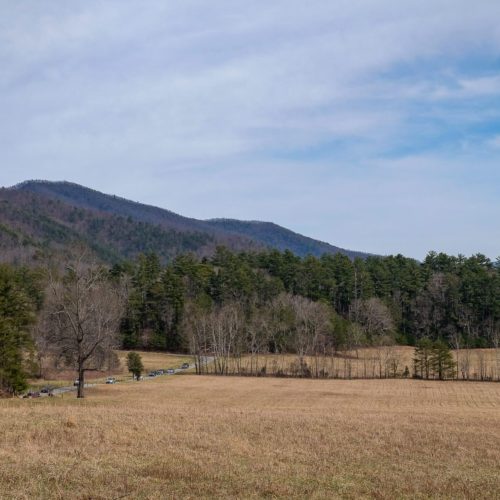
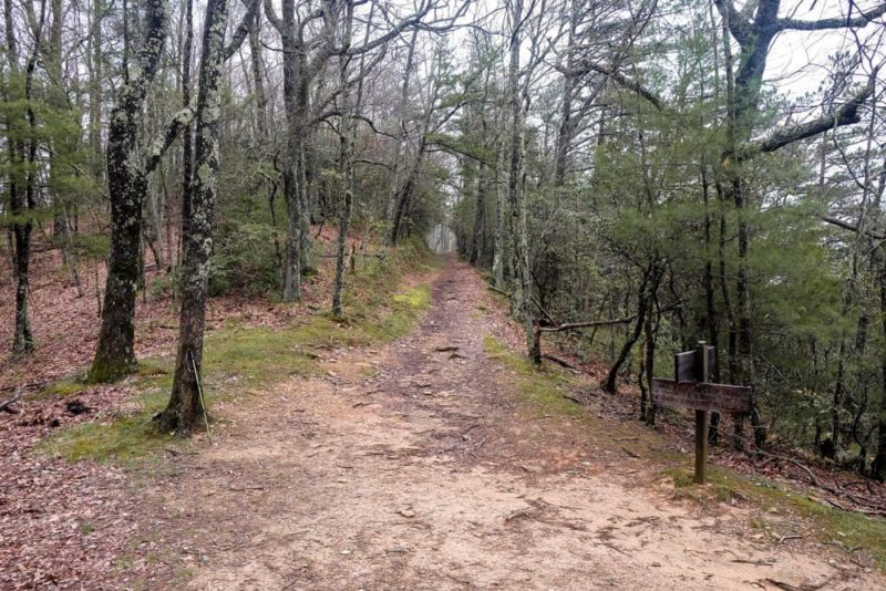
This is where you’ll start. You can find the entrance right near the start of the Cades Cove Loop Road. Park at the information shelter lot, walk to the gate (where the road turns into a one-way), and you’ll see the trailhead.
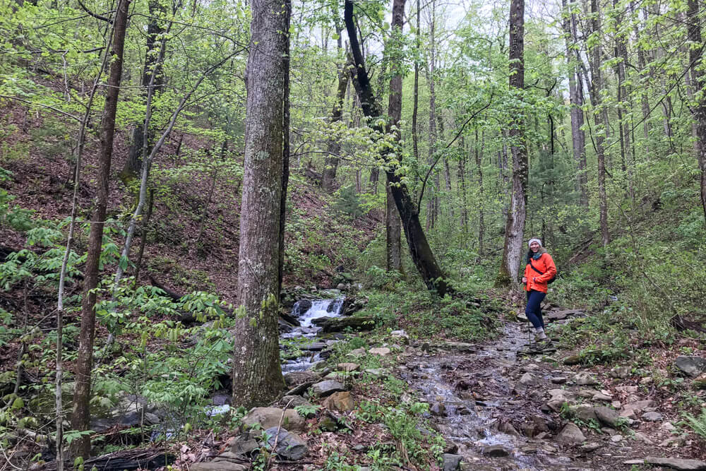
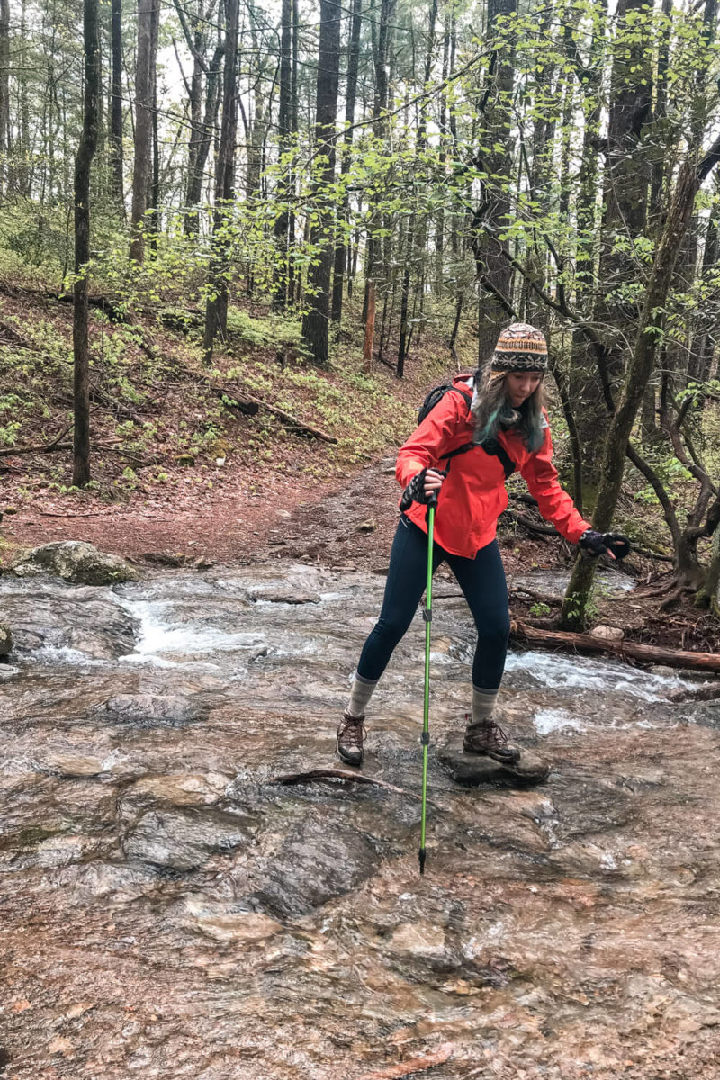
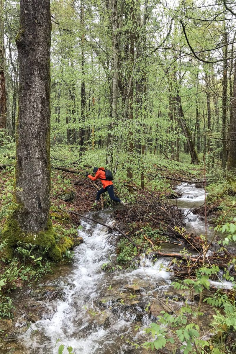
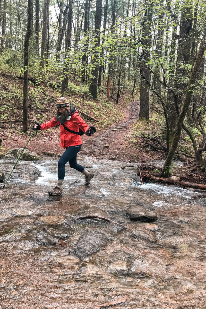
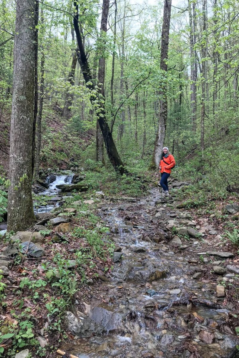
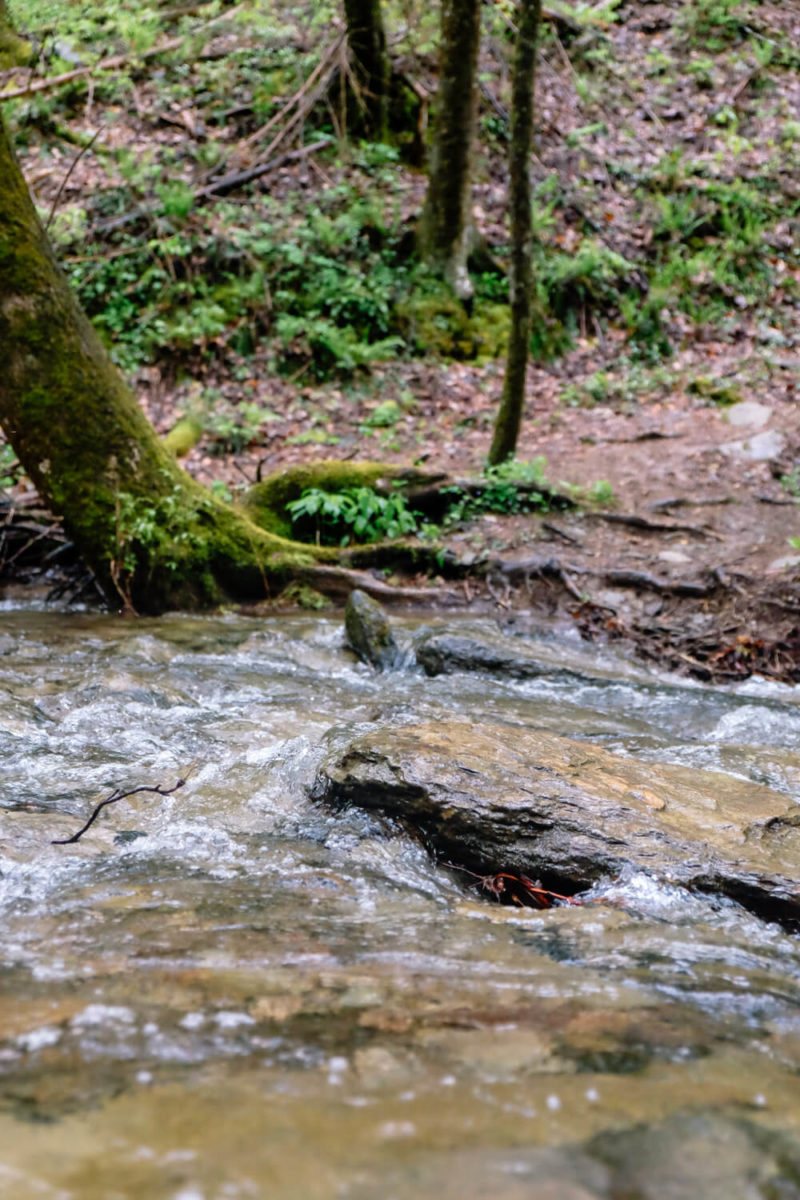
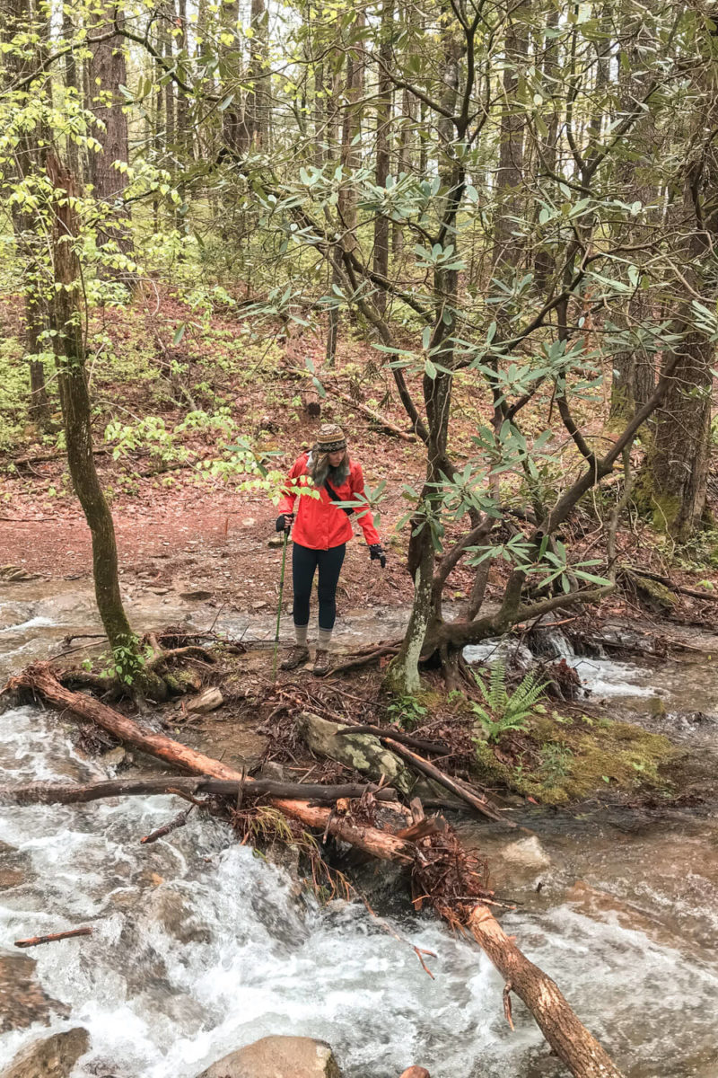
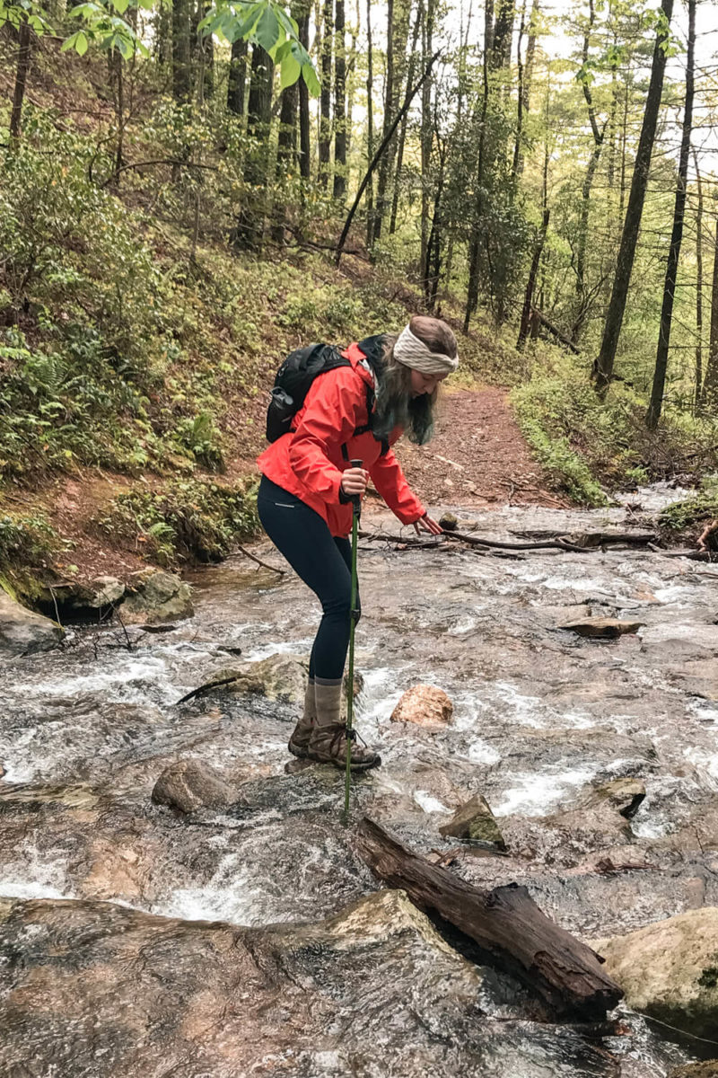
Now first up, my book said this trail had 6 stream crossings. And that they were pretty insignificant except during rainy days in the spring.
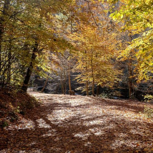
So of course we decided to hike this after one hell of a rainy day. So we didn’t have just 6 stream crossings here, we had like 12. Plus the actual trail was flooded twice making it look like a little stream.
But I kind of thought this was fun…. Yes, I am quite weird.
Okay so the first ~1.3ish miles of this trail is pretty level. You’ll cross a couple of streams as well and pass the junction for the Crooked Arm Trail. This is the path you’ll come down, so make sure to stay on the Rich Mountain Loop Trail.
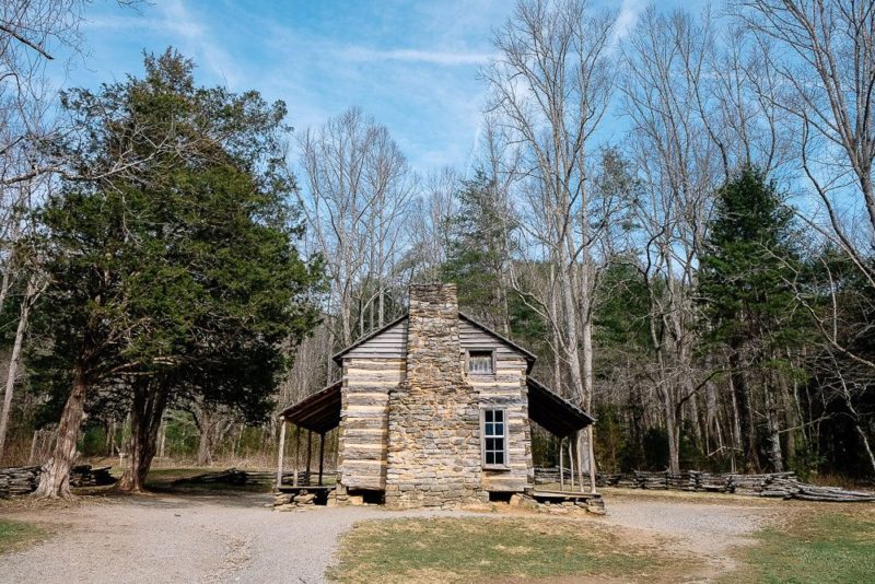
Then you’ll hit the John Oliver Cabin. This cabin was built around 1818 when the first settlers came to live and stay in the cove. I found it really interesting so definitely go inside if you haven’t already.
Read Next: Full Guide to the Cades Cove Loop
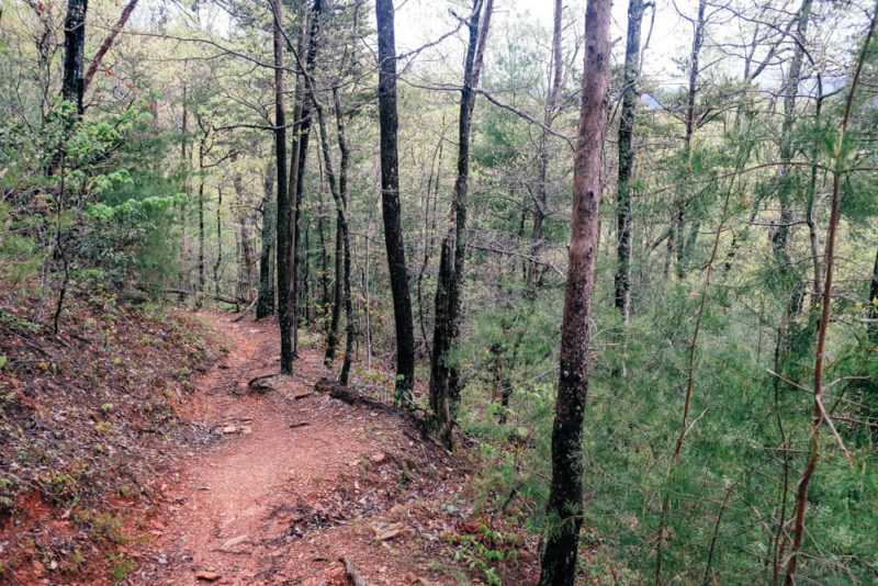
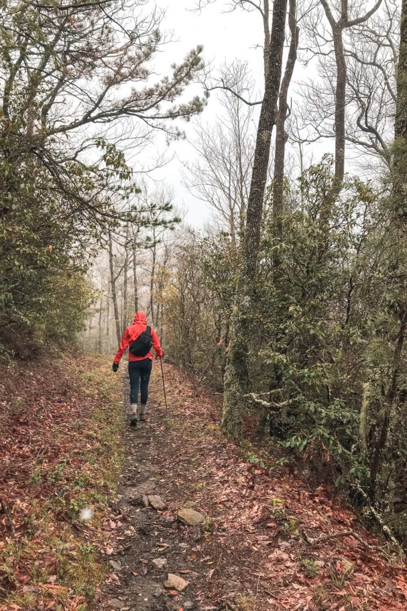
After you pass the cabin, this is where the climbing begins. Prepare yourself because the last 2 miles of this the trail is all uphill.
One fun thing to keep an eye out for though is that about ¼ of a mile past the John Oliver Cabin you should be able to see a chimney of an old abandoned home to you right. I didn’t spot it, but keep your eyes peeled just in case.

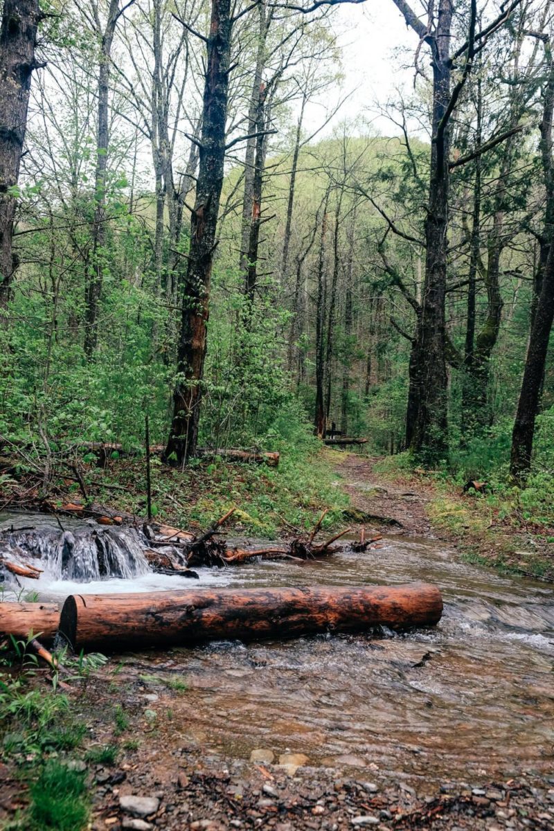
Flooded Trail Flooded Trail
What I did see though? A bear paw print!
In fact the ranger at Cades Cove told us we might even see bears during our hike if we were lucky (we weren’t), but we did see a paw print and I’ll take that.
Now this climb is tough but doable. It tends to go up, then have a brief flat part to catch your breath, then up again.
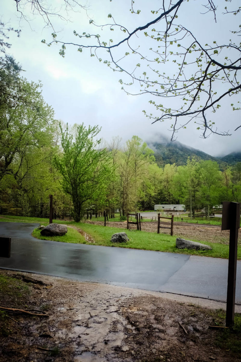
Be sure to look towards the Cove as well during your hike. You should be able to see parts of the valley between the trees.
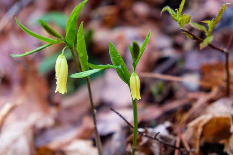
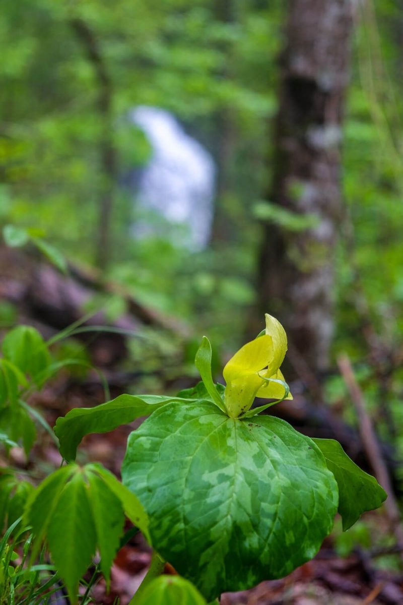
And also there just might be wildflowers along the trail as well if you’re here when they are in bloom.
As you near the end of the Rich Mountain Loop Trail, keep an eye out for the viewpoint. It should be about ⅓ mile from the top (3 miles from the start).
Personally, I never found it. (By the time I reached the Indian Grave Gap Trail and realized I missed it, there was no way I was hiking back down to look for it.) But keep your eyes out and you may be lucky!
Indian Grave Gap Trail
2.5 miles
The Rich Mountain Loop Trail will end at an intersection with the Indian Grave Gap Trail. You’ll want to head right on this trail.
And it’ll continue to go up. But, I promise, it’s not as bad and you are nearing the end of the up part. My legs were like shaking by this point a bit. So take a break if you need to!
The Indian Grave Gap Trail is more gradual and about halfway through it, you’ll start heading down.
You’ll pass Cerulean Knob about halfway through this trail. There’s a spur trail off to your left leading up to the knob. Honestly I was too tired to even think of going up and it’s not an easy up. Several hundred yards going up to the top of the knob was something my knees just said nope on.
But if you want to go up to the top of the knob, you should find the remains of an old cabin and the foundation of an old firetower up there. But be forewarned, the views aren’t going to be great (or so I’ve heard).
What we did encounter on this trail? Snow. Yes, you read that right. Snow. In April. When the week before it had been like 75 degrees.
The light mist we encountered down in Cades Cove was freaking snow at the top of the ridge.
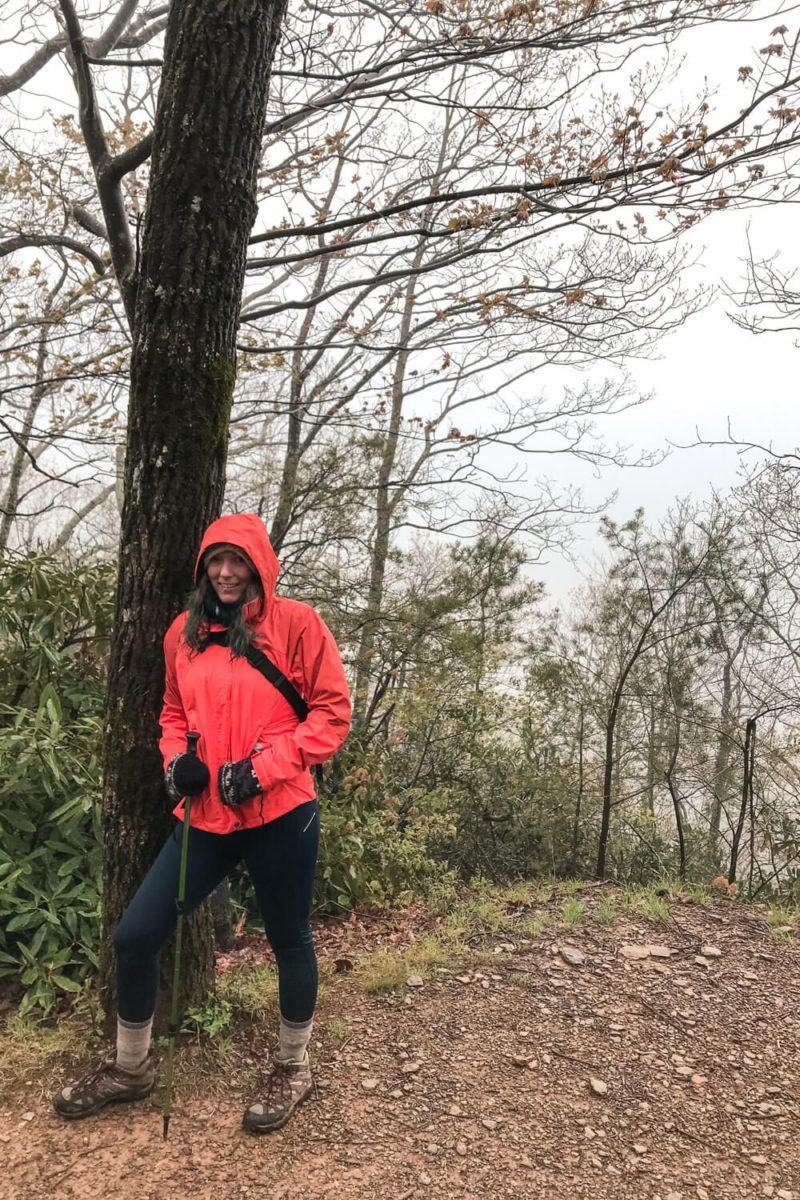
I shall take this moment to say you should always be prepared while hiking in the Smokies. I’m glad I brought a hat, gloves, and my rain jacket. If not for it, I would have been cold and soaked through with like 4 miles of hiking left.
Always be prepared.
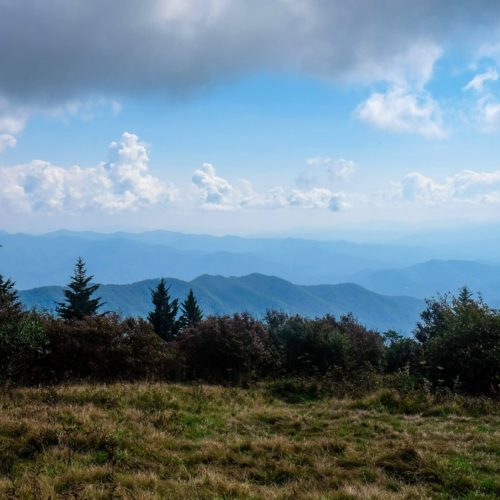
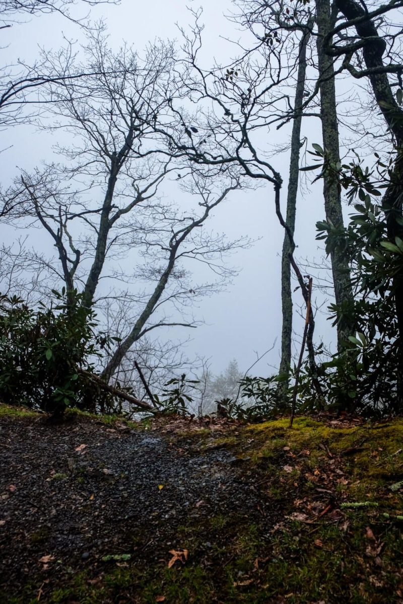
Also, if you’re lucky (I’m not), the Indian Grave Gap Trail has several viewpoints along it that (if you’re not in a middle of a cloud spitting snow on you) should offer you some good views.
And if you’re here at the right time, the rhododendron found all along this trail just might be in bloom.
Our cloudy viewpoints
Crooked Arm Ridge Trail
2.2 miles (+ ½ mile on Rich Mountain back to the parking lot)
By the time I reached the intersection of the Indian Grave Gap Trail and the Crooked Arm Ridge Trail, my legs were hurting. I might have definitely popped some Advil to help my knees with the descent.
And this descent is steep, rutted, windy, and hard. There are tons of switchbacks (seemed never ending). I was so thankful with every step that I hadn’t decided to climb up this way.
I also read that horses (somehow) use the trail as well which leads to its rutted nature. Not sure if that’s true, but something to note.
There are also a few good viewpoints along this way as well (if you’re still not in the middle of a damn cloud).
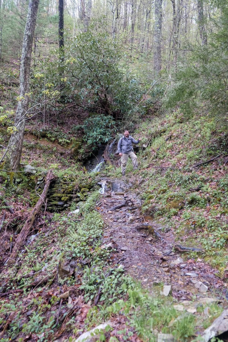
Near the end of the trail, you’ll pass by a waterfall, the Crooked Arm Cascade. It’s a 25 foot falls and is only really noticeable during wet weather (which I had so the thing was pounding).
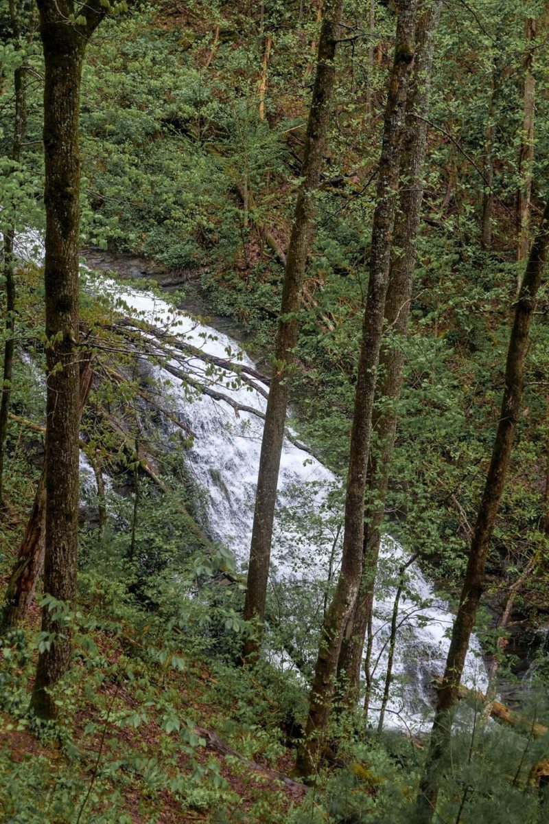
The trail doesn’t go right by the falls (it’s over to your left when you’re coming down the trail), so keep your eyes peeled for it. You may hear it before you see it.
The Crooked Arm Trail ends near the beginning of the Rich Mountain Loop Trail, but not at the start. So make sure to take a left at the intersection to hike the ½ mile back to the parking lot. And enjoy your last stream crossing along the way!
Where to Park
You should park at the beginning of the Cades Cove Loop Road at the parking lot near the information shelter. The trailhead is right by the gate at the start of the one-way road.
Where to Stay
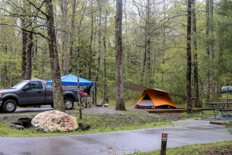
If you want to camp and have easy access, definitely camp at the Cades Cove campground. It’s open year round and is the most convenient place to stay for Cades Cove. Some spots are first come first serve, but others you can reserve. The front-country camping page for the Great Smoky Mountains National Park will help you.
If camping is not your thing, I’d suggest staying in either Townsend or Gatlinburg. You’ll have a bit of a drive into Cades Cove (1 hour from Gatlinburg, half that from Townsend), but those are some of your quickest options.
What to Pack
Let’s see I encountered rain, sleet, snow, 12+ stream crossings, and 2 flooded streams. You need to be prepared. Definitely bring a rain jacket and proper shoes. There’s a good chance your feet may get wet.
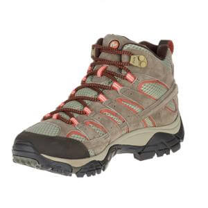
In cooler weather, I’d go for waterproof hiking boots. In warmer weather, you may want to use some hiking sandals during the stream crossings and then change into some proper boots after you pass the last one.
But regardless, this is an 8+ mile hike. Please don’t try to do this in improper footwear. Your feet will thank you.
(Oh and I was also soooo thankful for my hiking poles. I don’t use them on every hike, but I do for ones of this nature.)
Some of my favorite hiking gear:


My Great Smoky Mountains gear:

Rich Mountain Loop Trail Map
Here you can find all of my maps. I’ve got a screenshot from Google Earth (and here’s a link to it there as well). As well as a the location of the trailhead.
Planning your trip to the Great Smoky Mountains?
Great hiking trails:
(listed in order of difficulty)
- Laurel Falls Trail
- Abrams Falls Trail
- Deep Creek Loop Trail
- Andrews Bald Hike
- Rainbow Falls Trail
- Rich Mountain Loop Trail
Other things to do in the National Park:
- Visit Cades Cove
- Drive the Newfound Gap Road
- Go to the top of Clingman’s Dome
- Drive the Roaring Fork Motor Trail
Where to stay:
The national park is HUGE, so there are numerous entry and exit points. My suggestion would be to base yourself in a town near the area of the park you want to explore. Then you can usually found a hotel, a campsite (either with the park or not), or a house/cabin rental. For rentals I use Airbnb or VRBO.
Here are some of my suggestions and places I’ve stayed: