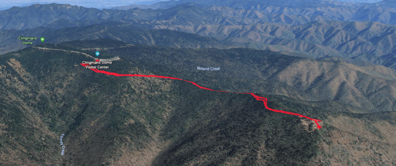
Are you headed to Clingmans Dome and want to get another hike in? If so then consider hiking the Forney Ridge Trail to Andrews Bald. This short(ish) hike will take you away from the crowds at Clingmans Dome, and show you some beautiful views. This isn’t an easy hike, but it is one of the easier ones with a great viewpoint at the end. If you have a couple of hours to spare and want to do some more hiking, definitely consider hiking the Andrews Bald Trail.
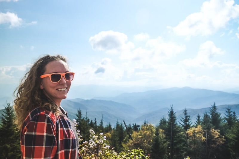
I consider this hike one of the best Smoky Mountain hikes. After we finished the Clingmans Dome hike, we wanted to see even more. So we decided to head down the Forney Ridge Trail, which starts right below the Clingmans Dome gift shop. As far as Smoky Mountain hiking trails go, the one to Andrews Bald isn’t bad. You will work up a sweat on the way back though, so be prepared and take plenty of water.
Read Next: Hike To Rainbow Falls in the Smoky Mountains
the andrews bald trail
This hike is best to do if you are already planning at stopping at Clingmans Dome. The hike to the dome is relatively short (though it is tough on the way up). So if you’re looking for more after you come back down (or if your views at the top were clouded like ours), then you’re in luck! The Forney Ridge Trail starts right at the base of the paved trail to Clingmans Dome.
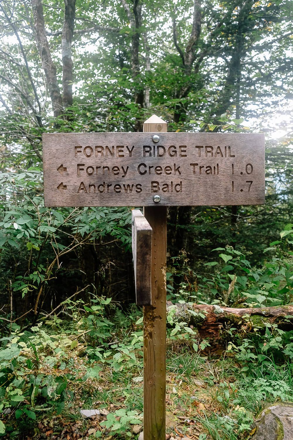
The first part of the trail is made up of gravely steps that weave down the face of the mountain for about .1 miles before you hit your first intersection. Head to your left to stay on the Forney Ridge Trail.
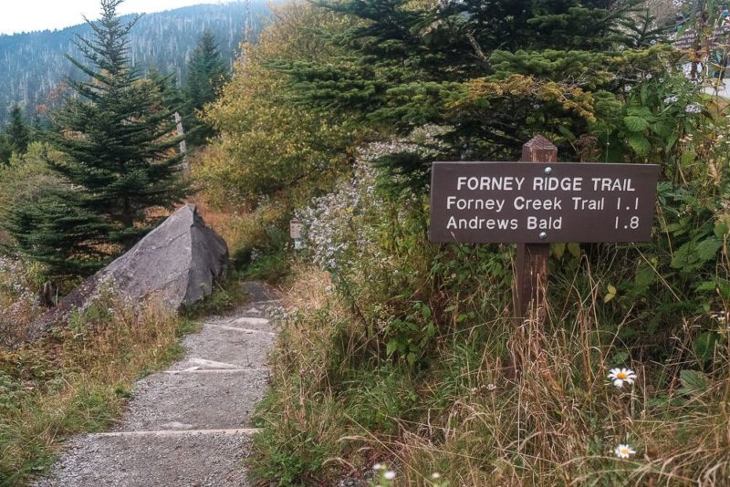
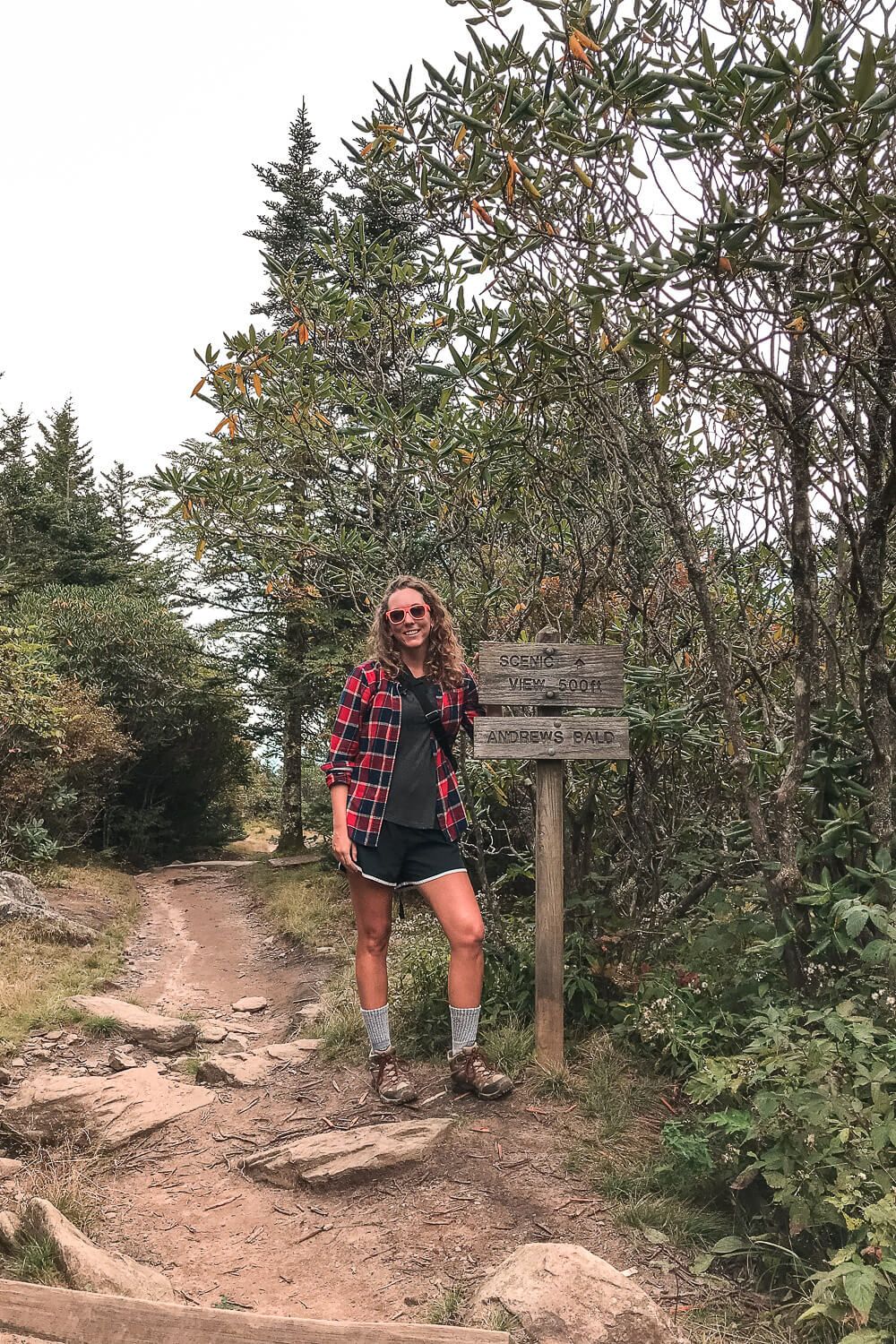
It’s also important to note that this trail is officially called the Forney Ridge Trail. Andrews Bald is only one stop along the trail, but since it’s so famous, the trail is often referred to as the Andrews Bald Trail.
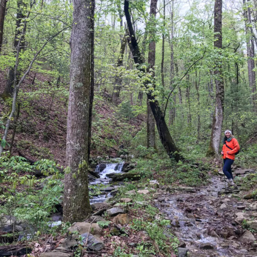
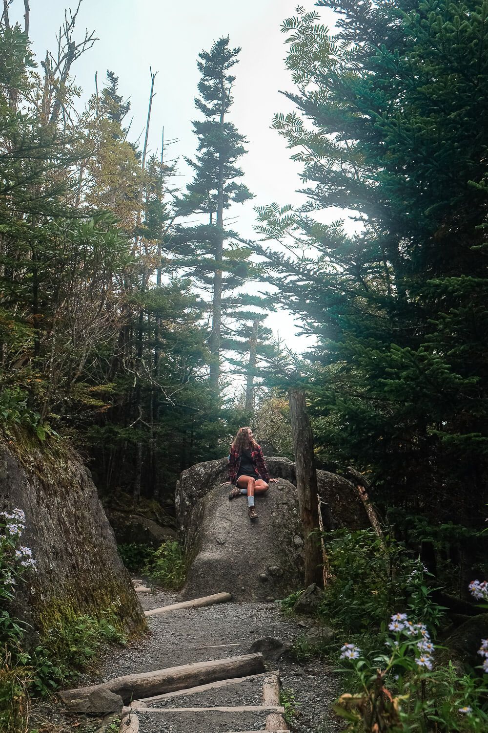
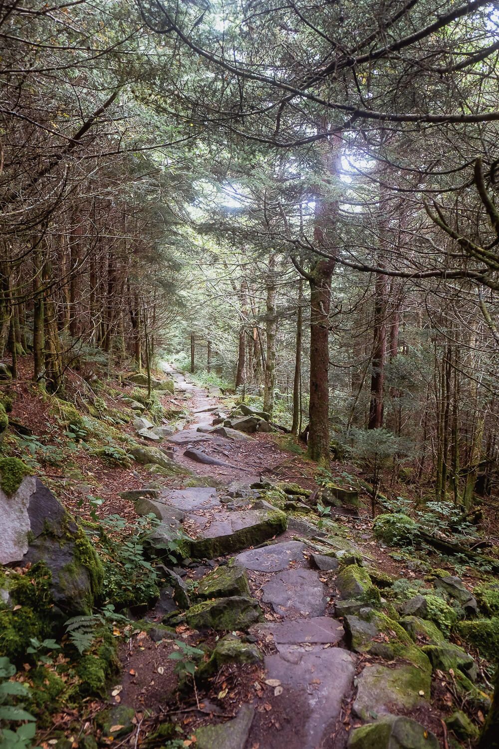
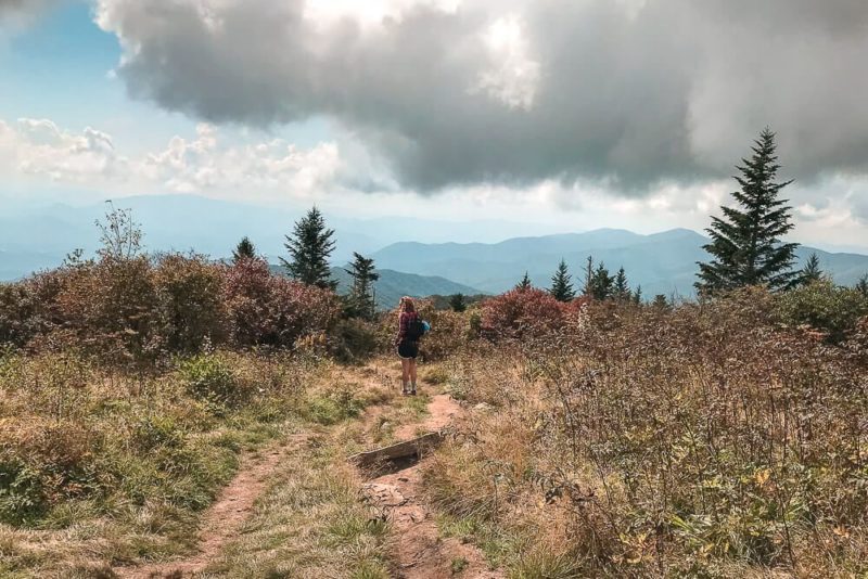
After this intersection, the trail drops steadily for almost a mile. The way is easy going down, but it is made up of plenty of rocks and roots so watch your step. And be aware that whatever you hike down, you’ll have to hike up.
You’ll pass lots of dead spruce fir trees (killed by an invasive infestation) and blackberries and raspberries (fruits pop up in the summer if you’re hiking then).
But my biggest memory of this stretch of trail was simply the long slow gradual descent into the forest.
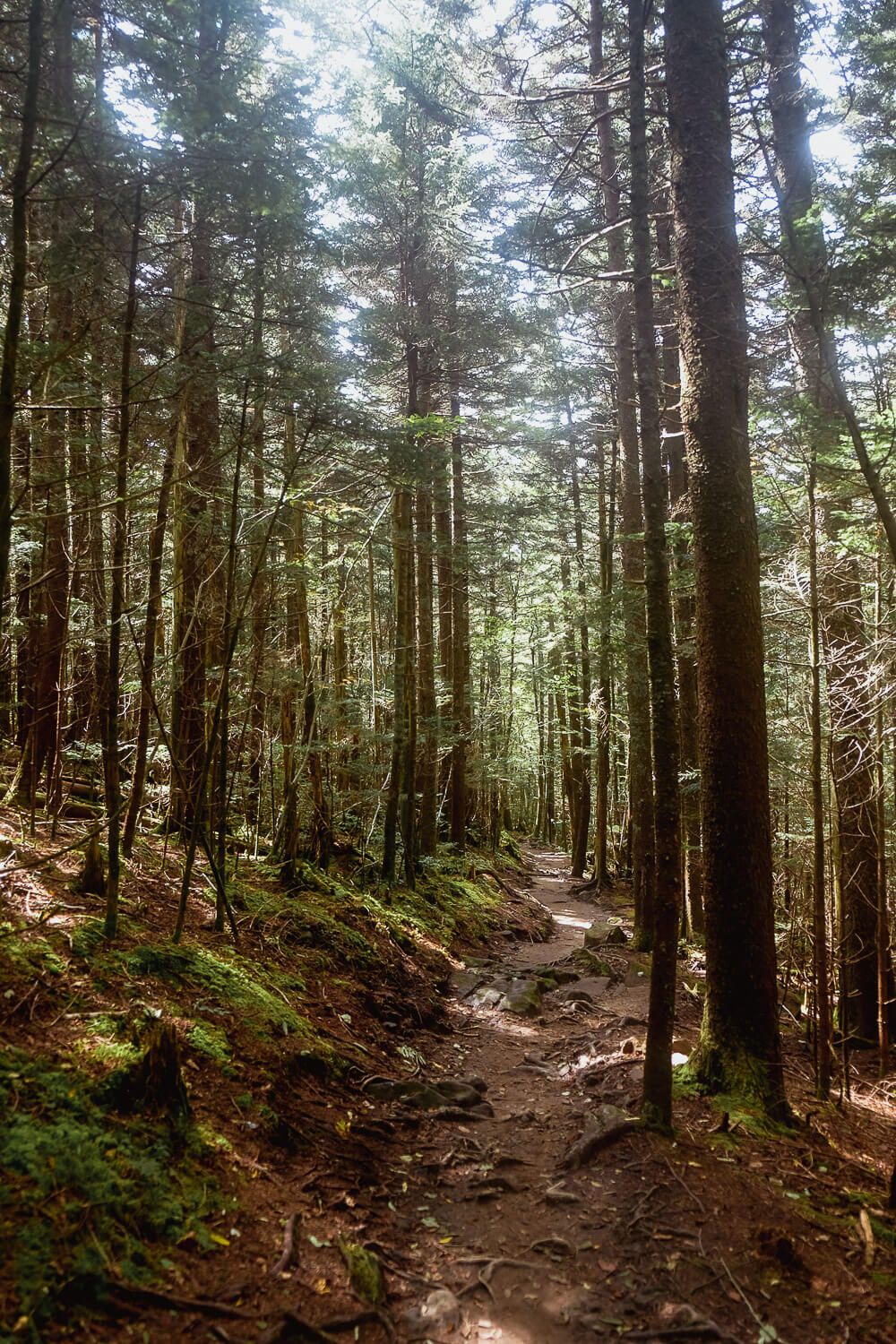
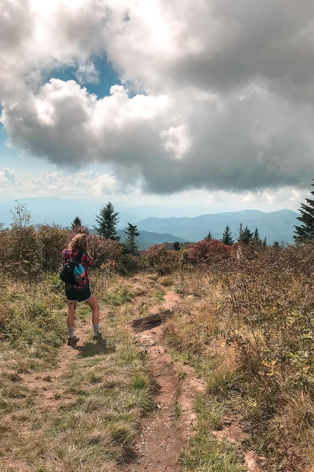
Eventually you’ll hit the top of the ridge and the trail will level out for a bit before going back up and then down towards the bald. This second half of the trail was my favorite since the mix of up and down didn’t exhaust me.
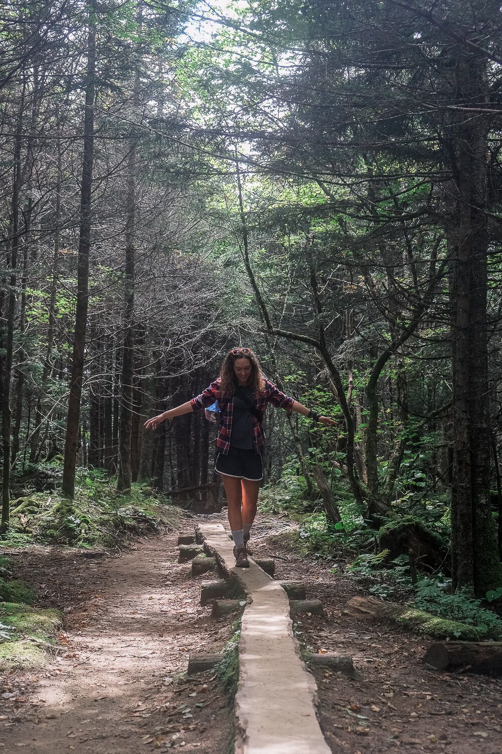
Plus there are some fun beams placed along the way. I made sure to channel my inner-child and walk along them. I believe they are there to help you through some muddy parts, but it was very dry the day we went.
You’ll also hit the intersection with the Forney Creek Trail. This trail goes off to the right, so just keep going straight to stay on the Andrews Bald Trail.

After about 1.8 miles on the trail, you’ll hit Andrews Bald!
(And there’s a sign, so you can’t miss it.)
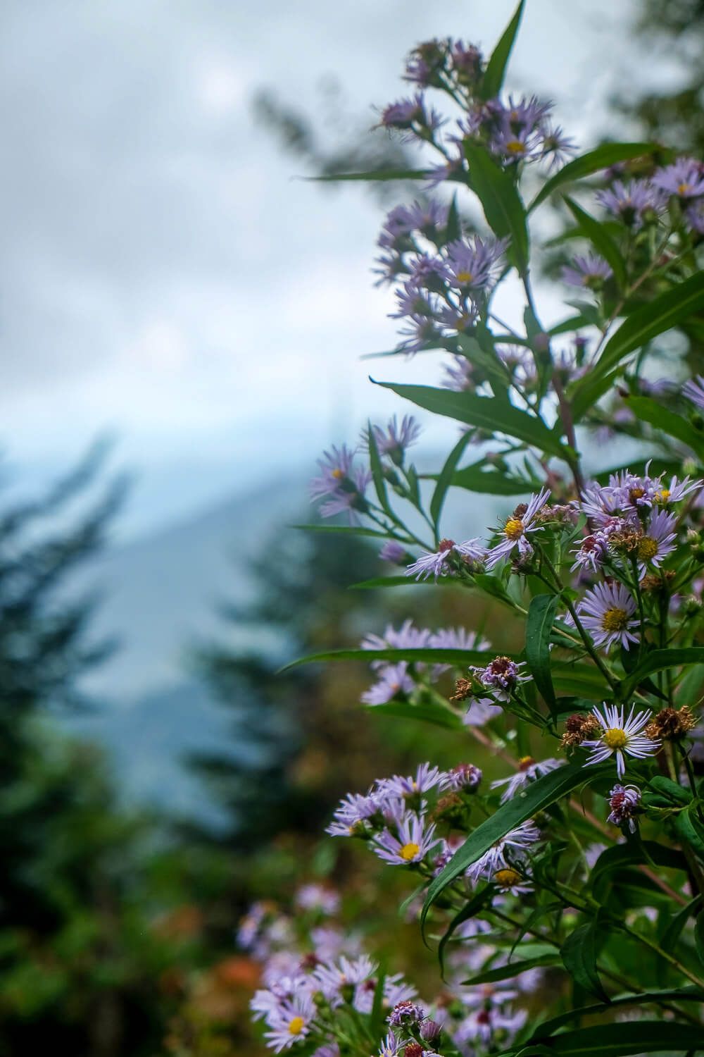
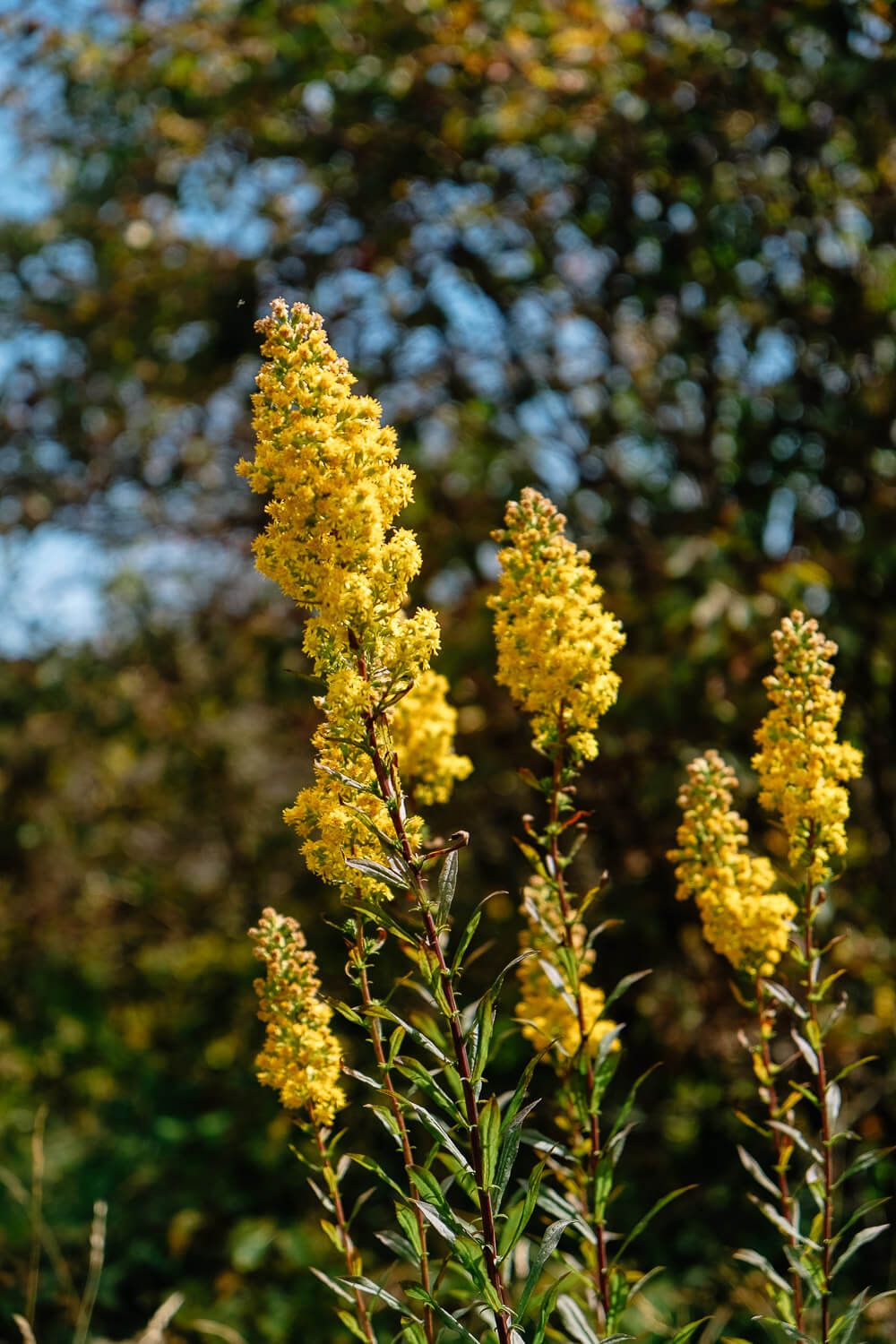
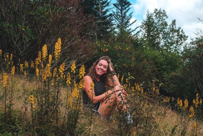
So what is a bald? Well its simplest definition is a grassy hilltop. Grasses, azaleas, rhododendrons, blueberries, and lots of flowers and shrubs cover Andrews Bald.

Smoky Mountains National Park maintains Andrews Bald so that it will remain a bald (the forest has slowly reclaimed some others). Previously they think that livestock grazing preserved the balds in the past. And Andrews Bald is even named for such an individual who did this. Andres Thompson herded his cattle up to graze on the bald in the 19th century and then later moved up to the top of the bald.
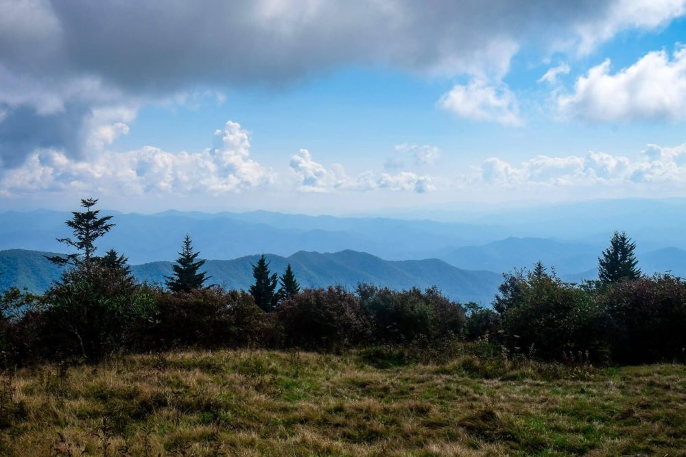
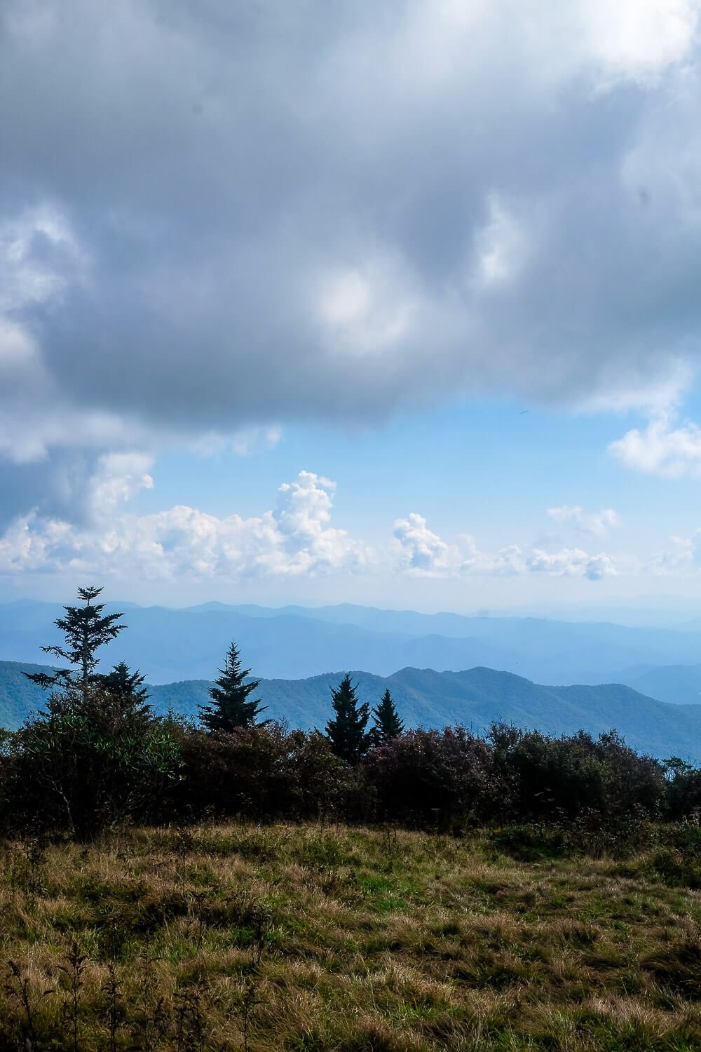
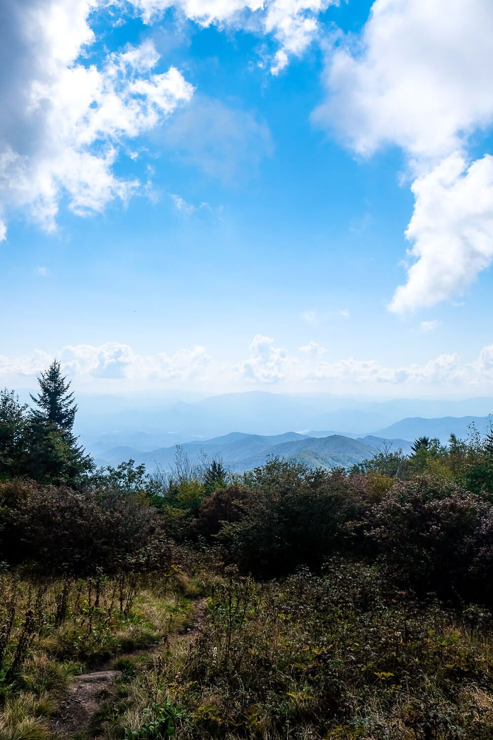
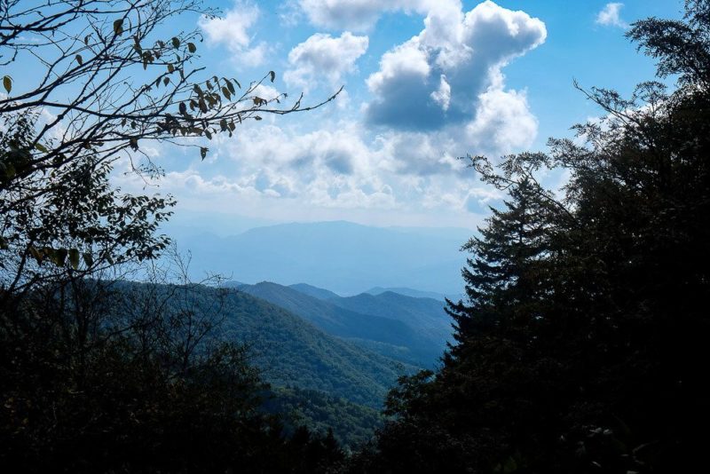
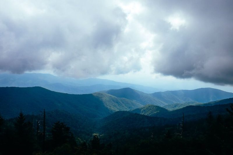
But the best part of Andrews Bald is its views. Perched at the end of the ridge, the rest of the mountain falls away leaving you with beautiful, southerly facing views.

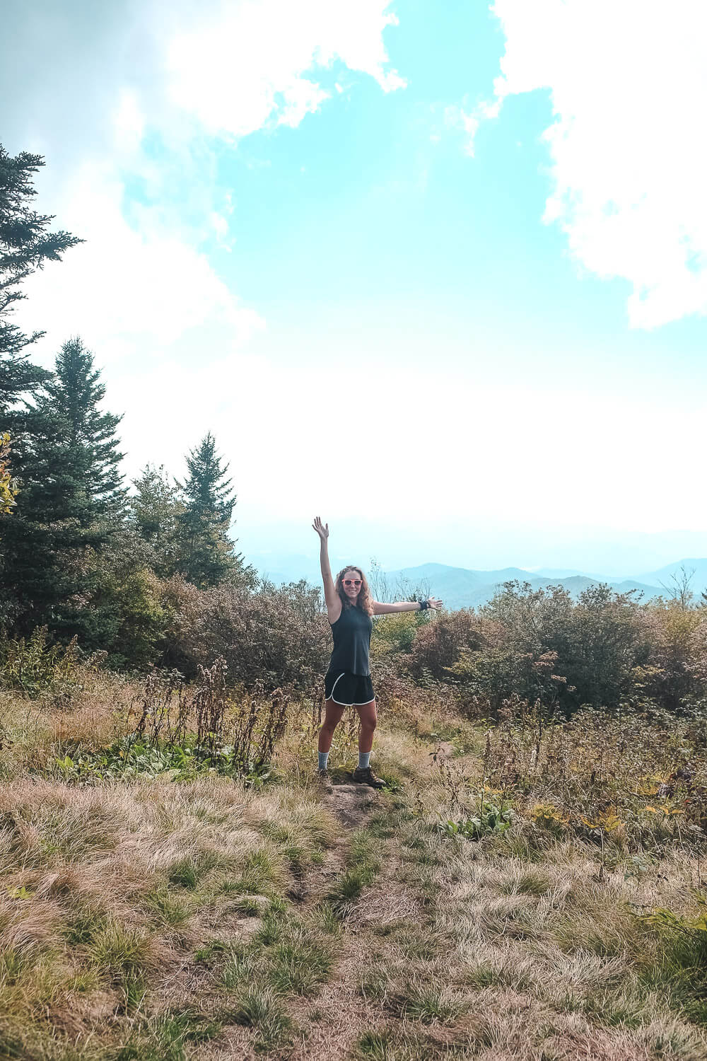
Definitely take some time and explore the bald. Lots of side trails lead off to additional overlooks, though my favorite was simply the main one facing south.
Once you’ve gotten your fill and you’ve rested and fueled up, it’s time to head back up the trail. After about .8 miles, things start to get tough as you reach that slow gradual uphill. I had to take several breaks to rest, but since it’s only a mile (which I kept telling myself), we eventually reached the top. Oh and make sure to keep an eye out to your left as you ascend. There are a few breaks in the trees with incredible views!
details
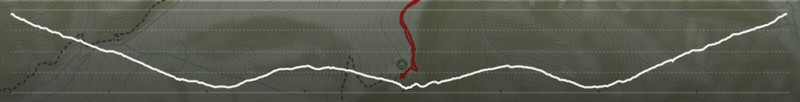
elevation change: ~600ft
maximum elevation: 6,223ft
minimum elevation: 5,623ft
total time: 3h 10m
moving time on the trail: ~2h
total distance: 4 miles
trail distance: 3.6 miles
I spent a long time just hanging out and exploring the top of the bald. You may or may not do this, but that’s why I broke up the time and distance above.
where to park
Parking for the Andrews Bald trail is easy. You’ll simply go to the Clingmans Dome parking lot. The trailhead for the Forney Ridge trail is right to the left of the paved trail up to the dome.
To get to the Clingmans Dome, you’ll take the Newfound Gap road through the national park. Right on the south side of the Newfound Gap, there’ll be a side road (with a sign) pointing you towards Clingmans Dome. The Clingmans Dome parking lot is about 7 miles down this road.
There’s also a gift shop, water fountains, and restrooms (very basic) at the Clingmans Dome parking lot as well.
additional tips for your hike to andrews bald
No service. You probably won’t have service at Clingmans Dome or along the trail. So pay attention to the signs along the trail and buy a map if you need one. This one is the one I use.
Take plenty of water. This hike is only 3.6 miles roundtrip. For avid hikers that might not seem like a lot. But that last slog uphill is slow and can be brutal. It was definitely tougher than I thought it would be. Please bring at least 1 water bottle for each hiker. You may need more than that.
Access Closed. The Clingmans dome road closes from Dec. 1 through March. You won’t be able to reach the trailhead (or the parking lot) during that time period.