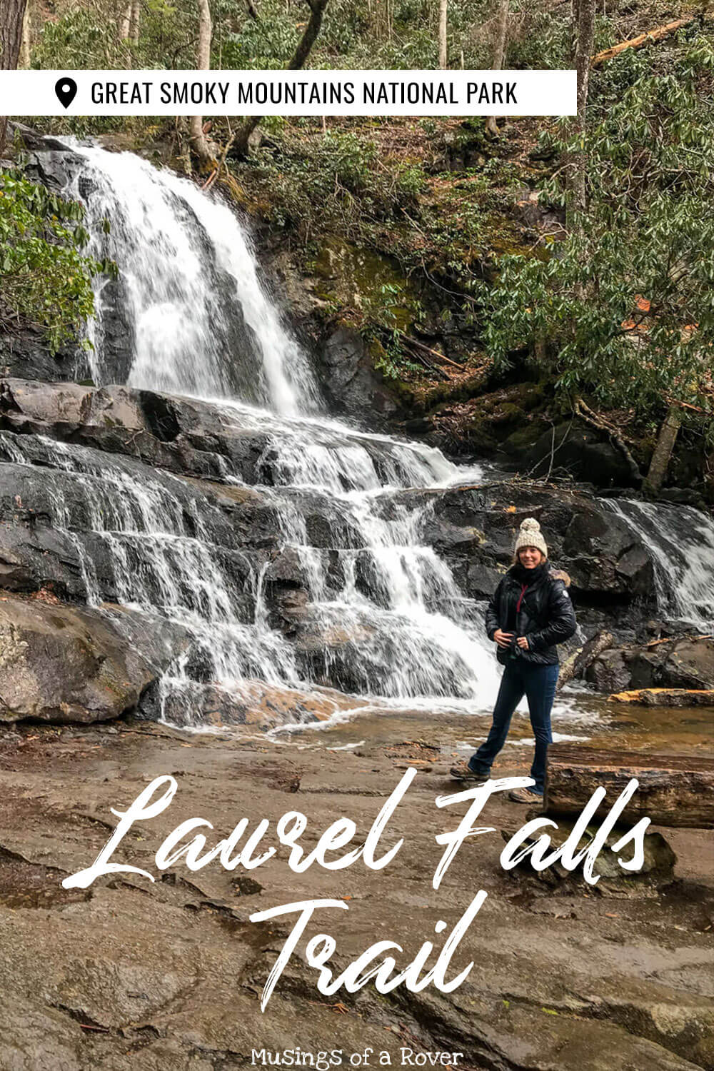
Want to see an 80 foot tall waterfall? What about one that’s along an easy, paved path? Then enter the Laurel Falls trail. This (very) popular trail is a must-see in the Great Smoky Mountains. Because it’s popular for a reason. You won’t want to miss this one!
The Laurel Falls trail has a waterfall (obvious), but it’s also got beautiful forests, deep ravines, streams, fall color and spring flowers. If you’re new to hiking here or just not interested in an 8 mile hike (I don’t blame you), then this trail will give you a glimpse into what the Smokies have to offer.
Before I go any further though, I should warn you. This hike is popular. Like really popular. Like I hiked it on a Sunday in early February when it was drizzling and we still passed at least a dozen people. If not more. More on the crowds (and how to try to avoid them) below.
Read Next: Hike the Abrams Falls Trail in the Great Smoky Mountains
Laurel Falls Trail
This hike can be found along the Little River Road between the Sugarlands Visitor Center and the Elkmont Campground. This is also the main road out to Cades Cove if you’re headed out that way.
Finding the trailhead is easy. There’s a large parking lot on the right as you near it with a sign. However finding parking can be tough. More on parking and directions below.
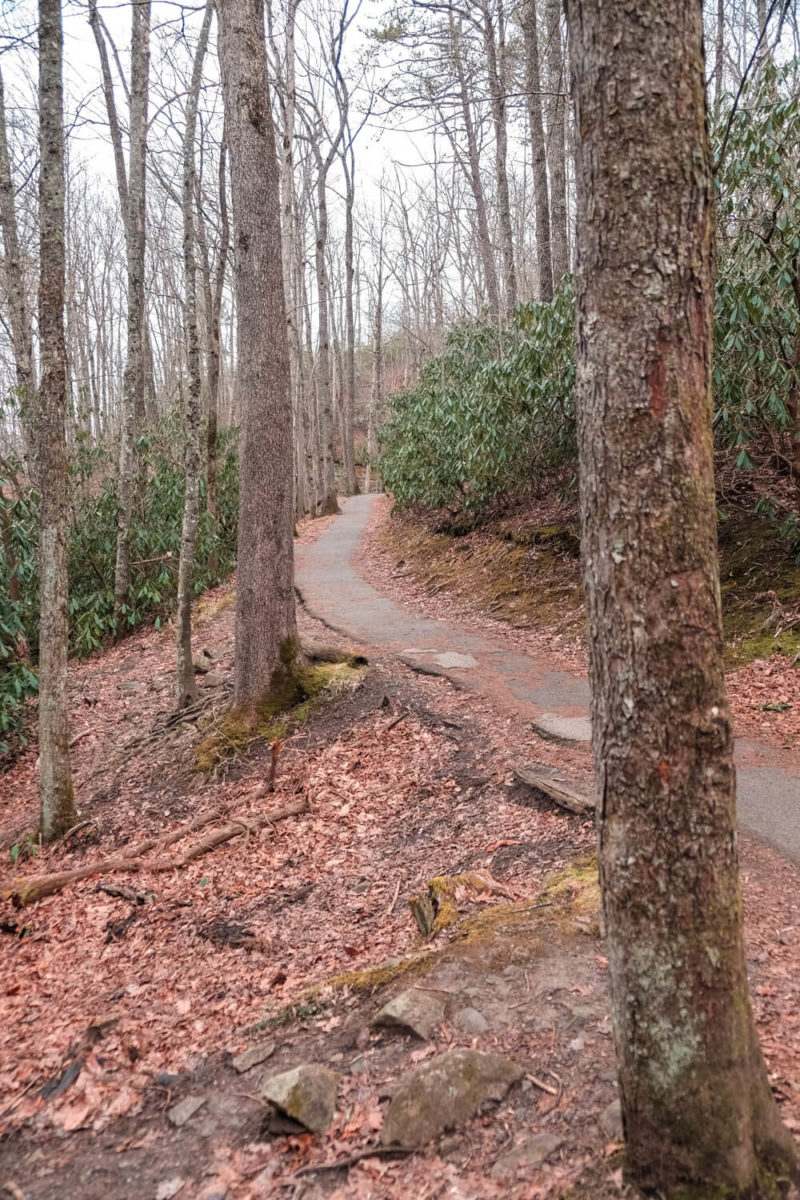
Now the Laurel Falls Trail is paved. Which makes it fairly easy to hike. But this is not like a sidewalk. It’s steep, uneven, and rough and can be quite slippery in wet weather. (Trust me, it was drizzling on us and I slipped in my hiking boots.)
I would not try to come here with like a stroller or a wheelchair. And there are steep drop-offs as you near the falls so be sure to keep an eye on your kids.
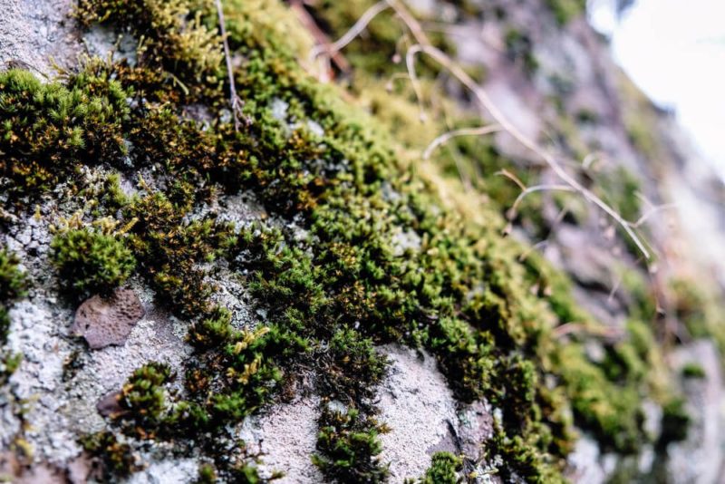
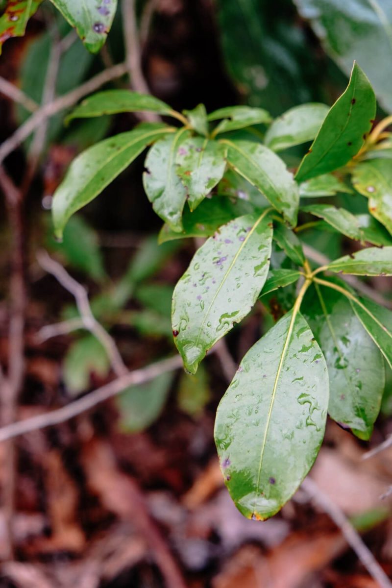
Now this trail (and its waterfall) is named for the mountain laurel that can be found along the side. It’s the small bush with small leaves that blooms in the early summer (pink or white blossoms). There’s also a ton of rhododendron along here too if you’re lucky enough to be here when they’re in bloom.
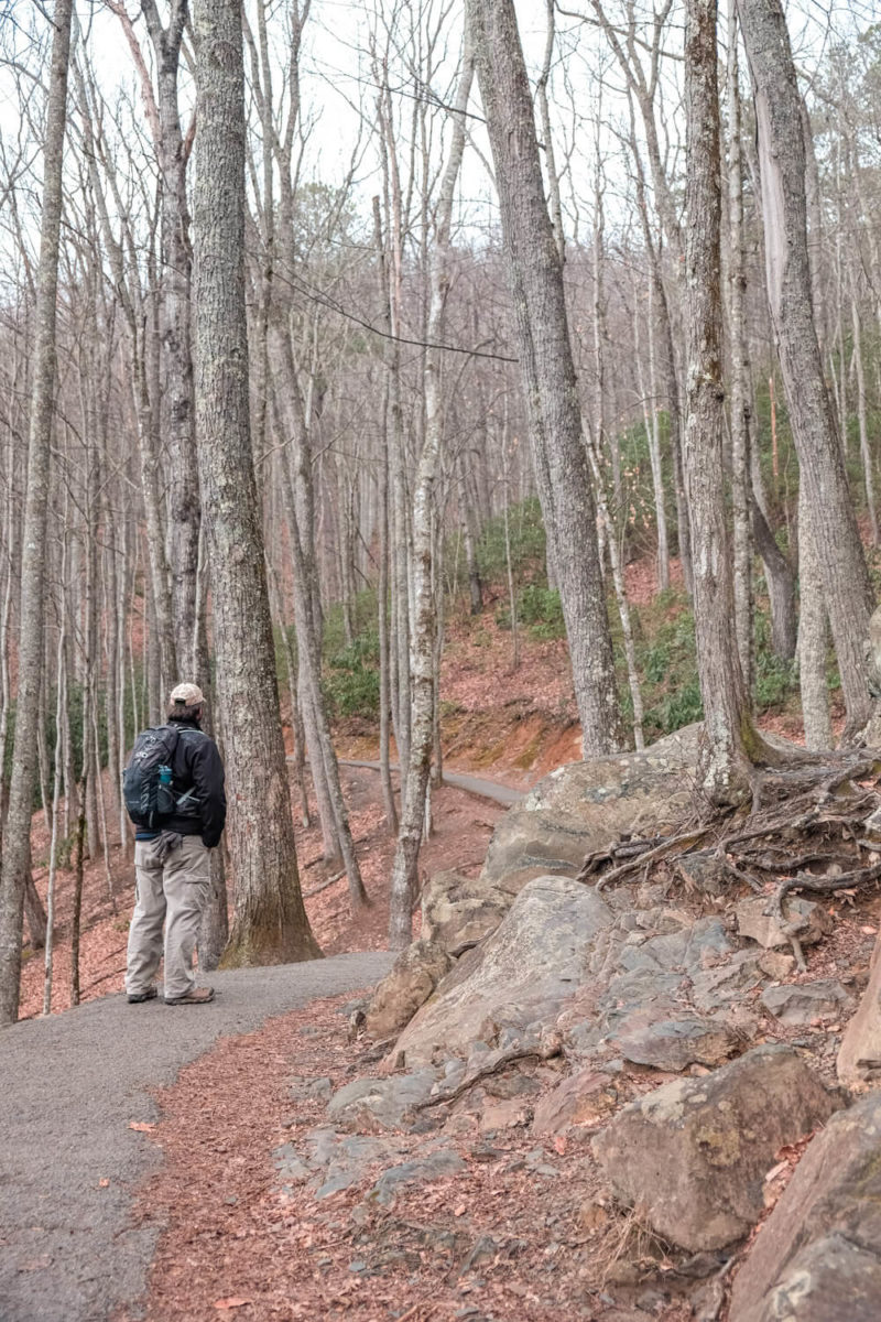
The Laurel Falls Trail starts off at a gentle slope. In fact it’s all uphill to the Falls. Though parts of the trail are steeper than others.
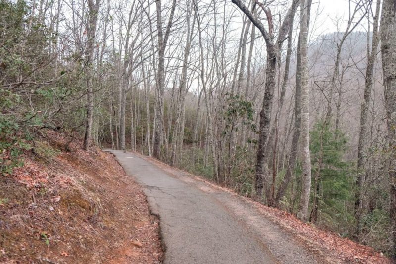
It seems to go up steeply for a bit and then level off to a more gradual incline. Nothing too intense though since this is still one of the easiest hikes in the national park.
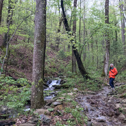
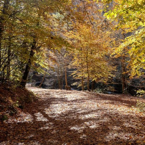
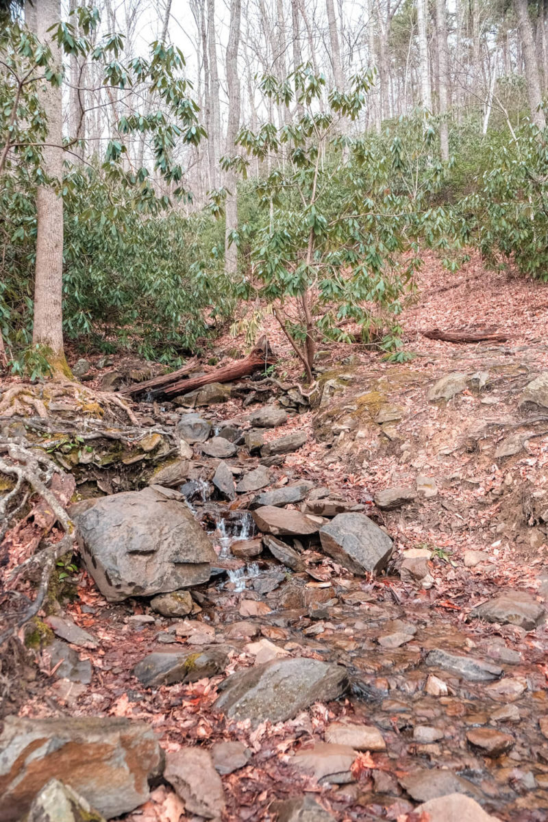
The trail weaves from following a ridge to cutting into a ravine and back again. The wildlife around you changes as well. You may spot wildflowers in spring or see trees with excellent color in the fall.
We passed small streams though these may mostly dry up in drier weather.
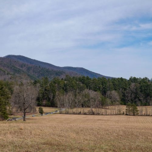
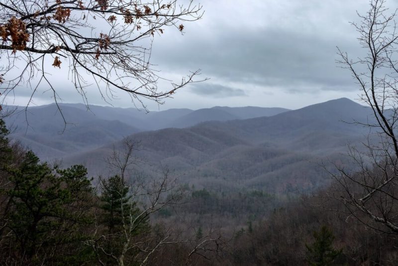
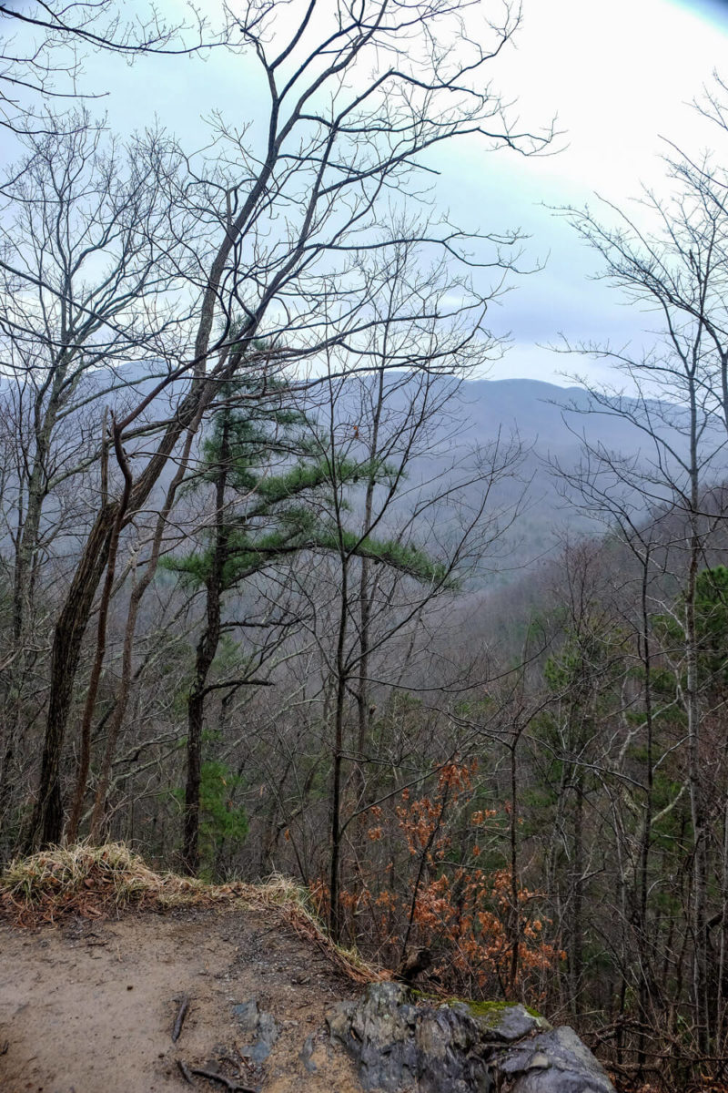
As you get higher, keep an eye out to your left. Depending on the season, you may have some good views in the distance.
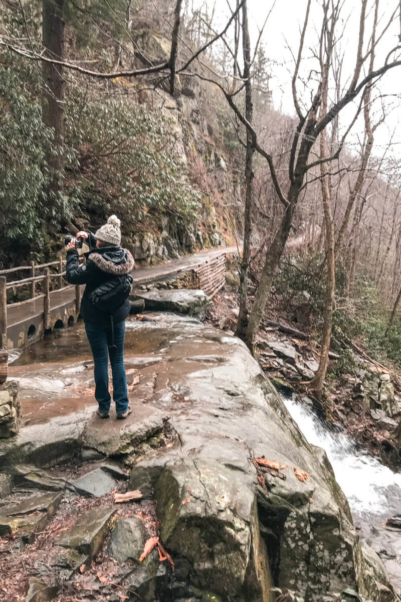
The last part of the hike until you reach the falls hugs the mountainside. Rocks tower on the inside of the trail while the land drops off to the left down to the stream below.
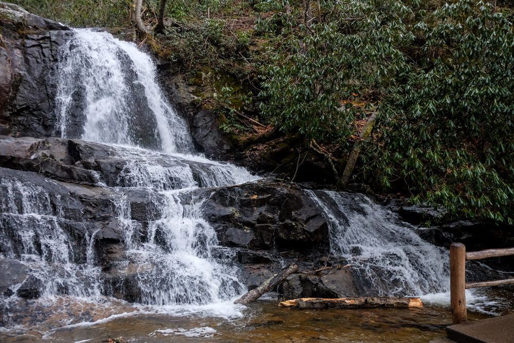
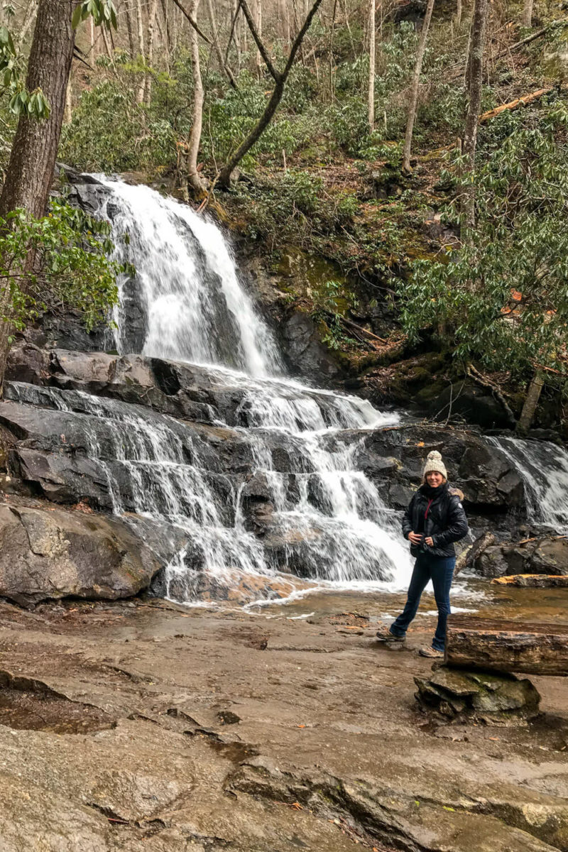
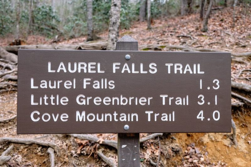
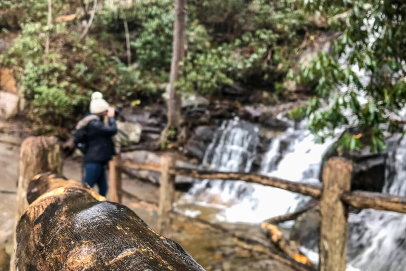
After a brisk 1.3 mile hike, you’ll finally arrive at the falls!
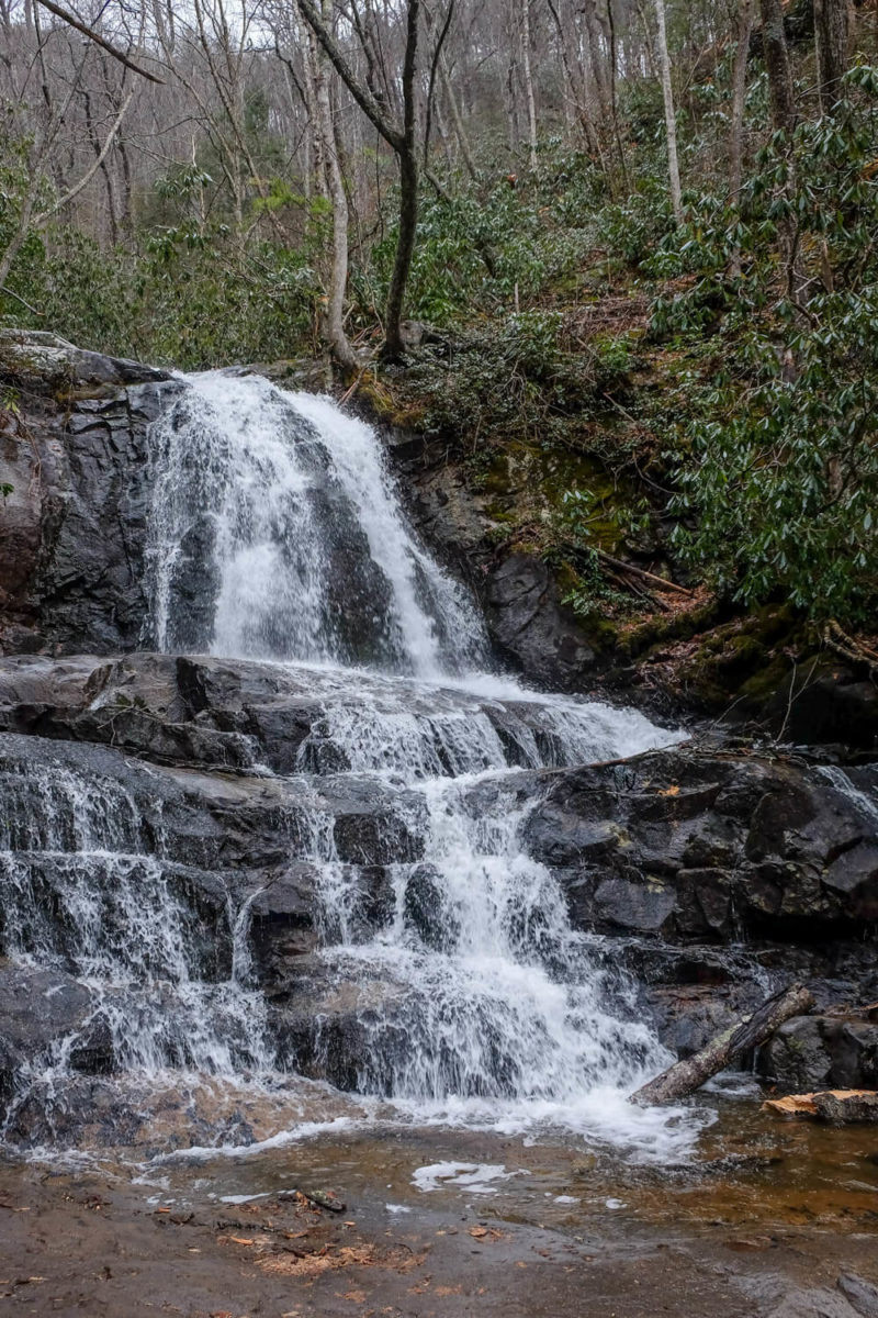
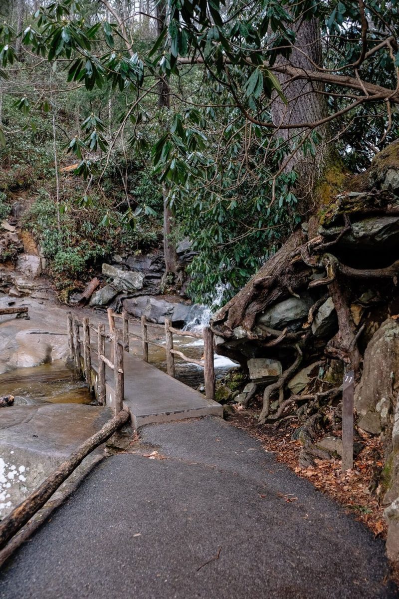
The Laurel Falls is an 80 foot tall waterfall. It’s broken into two portions, an upper and a lower one. A walkway divides these two and allows the trail to cross to the other side.

You can kind of see the whole waterfall here. This is the upper part This is part of the lower part.
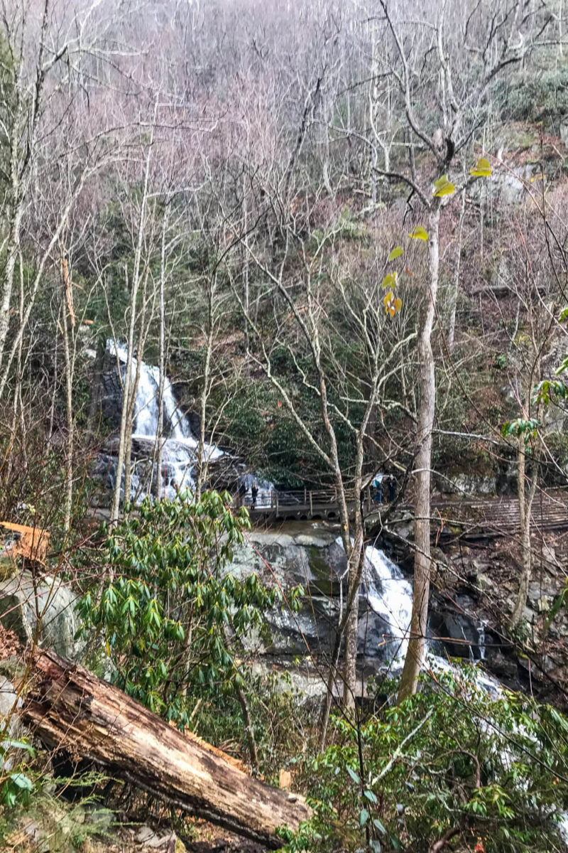
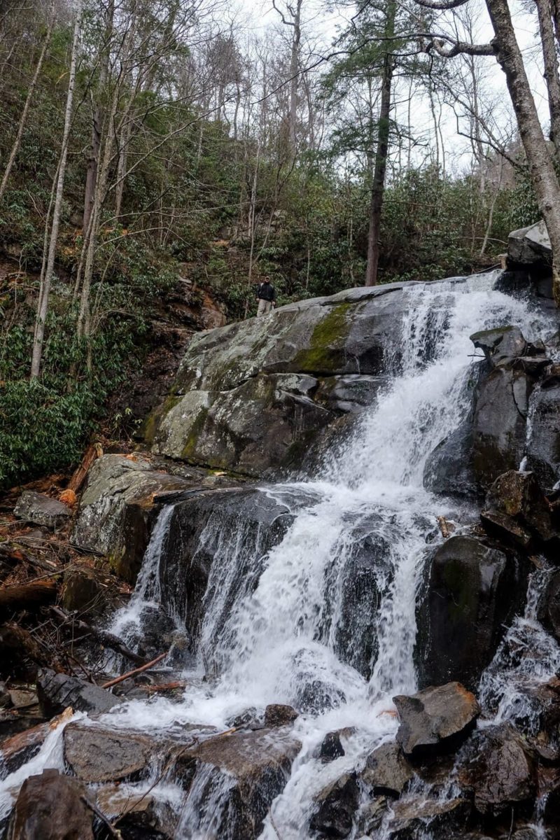
It’s a bit hard to see the lower part of the falls. In the picture above, you can barely see Ryan standing near the walkway at the top of the lower part.
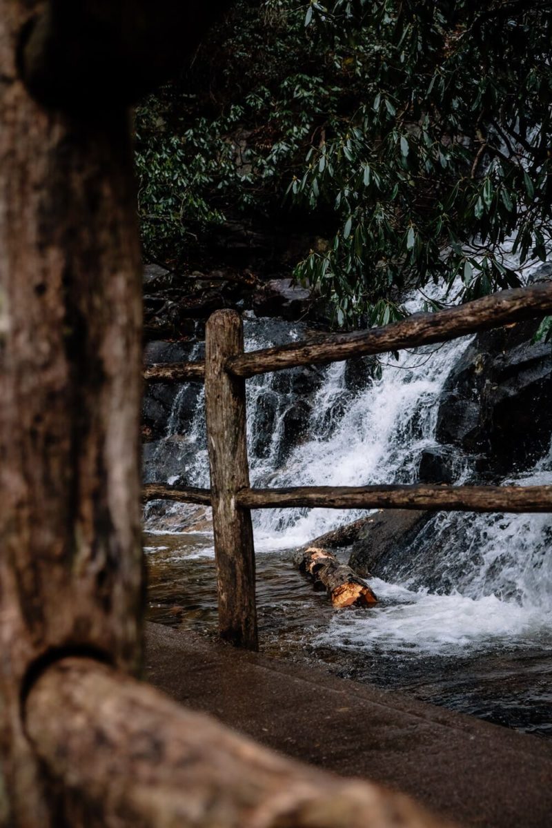
But you can get really close to the upper. The wooden walkway is situated right in front. And if you’re lucky with the crowds, you can grab a great picture at the base of it.
Be careful on the falls as the rocks are slippery and a fall here could be dangerous or even fatal.
We spent about 20 minutes hanging out at the falls. We didn’t stay longer mostly due to the rain, but if you want to kick back and rest your feet in the pool, definitely plan for a bit longer.
Read Next: A Driving Guide for Cades Cove Loop Road!
Directions to Laurel Falls & Parking
So the Laurel Falls trailhead is on the Little River Road between the Sugarlands Visitor Center and the Elkmont Campground. Basically if you’re heading out towards Cades Cove from like Gatlinburg, Sugarlands, or the Newfound Gap, you’ll go right by it.
And there’s a small parking lot on either side of the road by the trailhead. But (and this is a big but) it’s often full.
How full?
Well when we went in the morning on a drizzly, Sunday in early February, we got a spot in the lot. But when when we drove by the lot in late April, there were cars along the road (on both sides) for a good quarter mile in either direction.
Plan on the lot being full if you’re going during busy times.
There also seems to be a shuttle stop right by the trailhead as well. And I can see one at Sugarlands as well. I’ve never taken this nor do I have great information. But if you’re at the park, I bet the visitor centers would have more information!
How to Beat the Crowds at Laurel Falls
Okay so hopefully the above illustrates that Laurel Falls is popular. Because it very much is. Like if it’s not the most popular trail in the park, then it’s probably in the top 3.
So how do you avoid the crowds? Well, expect the trail to be crowded on the weekends year round and busier in the warmer seasons. Especially during the day.
I’d shoot for hiking this on a weekday, and maybe even in the off season if you can. (Busy season seems to be like April to the end of October.) If you have to go in the high season or on the weekend, definitely try to do it in the early morning or early evening.
Bears
Hopefully I’m not the first one to tell you that the Smokies is black bear country. Don’t be stupid. Don’t approach a black bear.
And please, please don’t throw trash or food on the ground.
Why? Because this attracts bears to the trail. Where they’ll lose their fear of people. This actually happened. In 2010 a bear attracted by trash started to frequent the Laurel Falls trail. It bit someone and had to be put down.
Don’t throw trash on the ground. It could kill a bear.
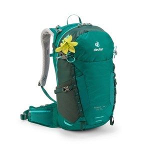
What to Pack
This is a short trail. Bring some water and you should be fine. I wish I had bought my rain jacket before this hike (but alas I only got it afterwards). It would have been great since it rained on me most of the way.
Some of my favorite hiking gear:


My Great Smoky Mountains gear:
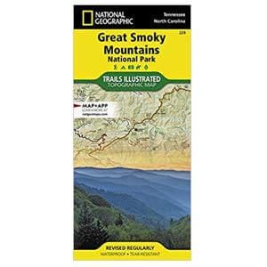


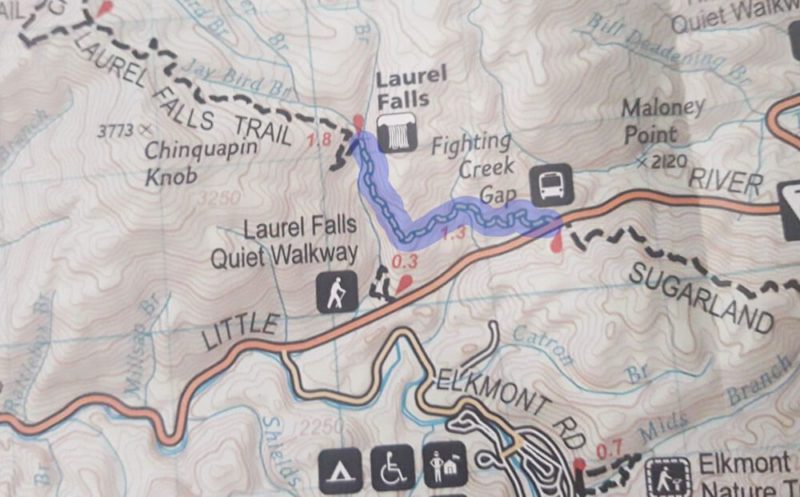
Laurel Falls Trail Map
Below you can find a map of the trail (in blue) and an elevation profile.

Planning your trip to the Great Smoky Mountains?
Great hiking trails:
(listed in order of difficulty)
- Laurel Falls Trail
- Abrams Falls Trail
- Deep Creek Loop Trail
- Andrews Bald Hike
- Rainbow Falls Trail
- Rich Mountain Loop Trail
Other things to do in the National Park:
- Visit Cades Cove
- Drive the Newfound Gap Road
- Go to the top of Clingman’s Dome
- Drive the Roaring Fork Motor Trail
Where to stay:
The national park is HUGE, so there are numerous entry and exit points. My suggestion would be to base yourself in a town near the area of the park you want to explore. Then you can usually found a hotel, a campsite (either with the park or not), or a house/cabin rental. For rentals I use Airbnb or VRBO.
Here are some of my suggestions and places I’ve stayed: